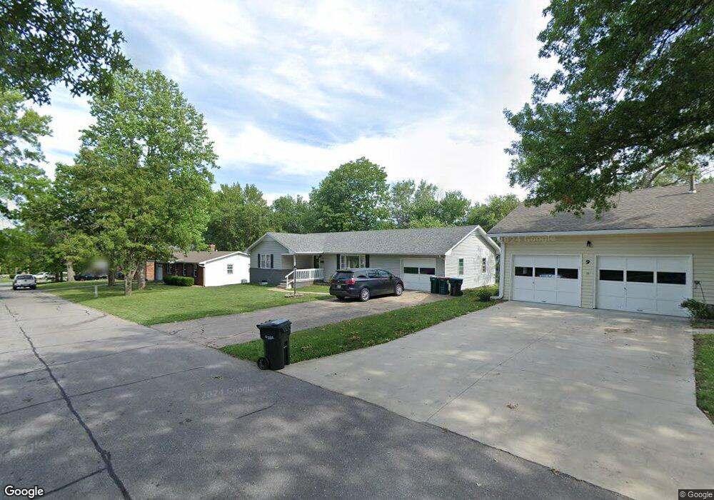
7 Grim Ct S Kirksville, MO 63501
Estimated Value: $163,839 - $193,000
3
Beds
2
Baths
1,330
Sq Ft
$136/Sq Ft
Est. Value
About This Home
This home is located at 7 Grim Ct S, Kirksville, MO 63501 and is currently estimated at $180,710, approximately $135 per square foot. 7 Grim Ct S is a home located in Adair County with nearby schools including Kirksville Primary School, Ray Miller Elementary School, and William Matthew Middle School.
Ownership History
Date
Name
Owned For
Owner Type
Purchase Details
Closed on
Dec 1, 2014
Sold by
Nick Nick
Bought by
Pearson Matthew L and Blake Laura E
Current Estimated Value
Purchase Details
Closed on
Oct 31, 2007
Sold by
Wilson Kathleen and Wilson Phillip
Bought by
Elschlager Nick
Home Financials for this Owner
Home Financials are based on the most recent Mortgage that was taken out on this home.
Original Mortgage
$76,000
Outstanding Balance
$48,086
Interest Rate
6.38%
Mortgage Type
Future Advance Clause Open End Mortgage
Estimated Equity
$132,624
Purchase Details
Closed on
Mar 2, 2007
Sold by
Elschlager Nick and Elschlager Amber
Bought by
Elschlager Nick
Create a Home Valuation Report for This Property
The Home Valuation Report is an in-depth analysis detailing your home's value as well as a comparison with similar homes in the area
Home Values in the Area
Average Home Value in this Area
Purchase History
| Date | Buyer | Sale Price | Title Company |
|---|---|---|---|
| Pearson Matthew L | -- | -- | |
| Elschlager Nick | -- | North Missouri Title Co Po | |
| Elschlager Nick | -- | Adair County Title & Escrow |
Source: Public Records
Mortgage History
| Date | Status | Borrower | Loan Amount |
|---|---|---|---|
| Open | Elschlager Nick | $76,000 |
Source: Public Records
Tax History Compared to Growth
Tax History
| Year | Tax Paid | Tax Assessment Tax Assessment Total Assessment is a certain percentage of the fair market value that is determined by local assessors to be the total taxable value of land and additions on the property. | Land | Improvement |
|---|---|---|---|---|
| 2024 | $1,109 | $18,110 | $3,200 | $14,910 |
| 2023 | $1,104 | $17,200 | $3,200 | $14,000 |
| 2022 | $1,104 | $17,200 | $3,200 | $14,000 |
| 2021 | $1,091 | $17,200 | $3,200 | $14,000 |
| 2020 | $1,070 | $17,400 | $3,200 | $14,200 |
| 2019 | $1,030 | $17,400 | $3,200 | $14,200 |
| 2018 | $1,023 | $17,400 | $3,200 | $14,200 |
| 2017 | $1,045 | $17,830 | $2,790 | $15,040 |
| 2016 | $1,043 | $17,830 | $2,790 | $15,040 |
| 2015 | -- | $17,830 | $2,790 | $15,040 |
| 2011 | -- | $0 | $0 | $0 |
Source: Public Records
Map
Nearby Homes
- 1902 S 1st St
- 1904 S 1st St
- 1921 S First St
- 2116 S Franklin St
- 306 Hillcrest Dr
- 712 W Shelby St
- 405 Garrett Dr
- 2000 E Laharpe St
- 801 W Hamilton St
- 1504 S Halliburton St
- 1408 S Halliburton St
- xxxxx See Addendum
- 1306 S Wabash St
- 0 Meadow Ln
- 1103 W George St
- 1104 W George St
- 1106 W George St
- 1703 S Downing St
- 1408 S Downing St
- Lot 10 E Patterson St