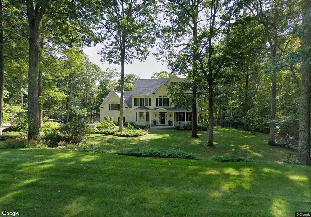
7 Grouse Ct Killingworth, CT 06419
Estimated Value: $767,000 - $899,000
4
Beds
3
Baths
3,438
Sq Ft
$246/Sq Ft
Est. Value
About This Home
This home is located at 7 Grouse Ct, Killingworth, CT 06419 and is currently estimated at $844,727, approximately $245 per square foot. 7 Grouse Ct is a home located in Middlesex County with nearby schools including Haddam-Killingworth High School and Haddam-Killingworth Intermediate School.
Ownership History
Date
Name
Owned For
Owner Type
Purchase Details
Closed on
Jul 11, 2012
Sold by
Olinn Brian M and Linn Danielle J
Bought by
Olinn Ft and Olinn Brian M
Current Estimated Value
Home Financials for this Owner
Home Financials are based on the most recent Mortgage that was taken out on this home.
Original Mortgage
$362,000
Interest Rate
4.01%
Mortgage Type
Stand Alone Refi Refinance Of Original Loan
Purchase Details
Closed on
Apr 20, 2007
Sold by
Dunn Adam
Bought by
Olinn Brian and Olinn Danielle
Home Financials for this Owner
Home Financials are based on the most recent Mortgage that was taken out on this home.
Original Mortgage
$400,000
Interest Rate
6.19%
Purchase Details
Closed on
May 24, 2000
Sold by
Cornerstone Constr Svc
Bought by
Dunn Adam S and Dunn Krista J
Create a Home Valuation Report for This Property
The Home Valuation Report is an in-depth analysis detailing your home's value as well as a comparison with similar homes in the area
Home Values in the Area
Average Home Value in this Area
Purchase History
| Date | Buyer | Sale Price | Title Company |
|---|---|---|---|
| Olinn Ft | -- | -- | |
| Olinn Brian | $590,000 | -- | |
| Dunn Adam S | $426,900 | -- | |
| Cornerstone Constr Svc | $85,000 | -- |
Source: Public Records
Mortgage History
| Date | Status | Borrower | Loan Amount |
|---|---|---|---|
| Previous Owner | Cornerstone Constr Svc | $362,000 | |
| Previous Owner | Cornerstone Constr Svc | $394,320 | |
| Previous Owner | Cornerstone Constr Svc | $400,000 |
Source: Public Records
Tax History Compared to Growth
Tax History
| Year | Tax Paid | Tax Assessment Tax Assessment Total Assessment is a certain percentage of the fair market value that is determined by local assessors to be the total taxable value of land and additions on the property. | Land | Improvement |
|---|---|---|---|---|
| 2025 | $10,574 | $403,270 | $78,330 | $324,940 |
| 2024 | $9,767 | $403,270 | $78,330 | $324,940 |
| 2023 | $9,465 | $403,270 | $78,330 | $324,940 |
| 2022 | $9,364 | $403,270 | $78,330 | $324,940 |
| 2021 | $9,260 | $346,570 | $88,810 | $257,760 |
| 2020 | $9,260 | $346,570 | $88,810 | $257,760 |
| 2019 | $9,520 | $346,570 | $88,810 | $257,760 |
| 2018 | $9,520 | $346,570 | $88,810 | $257,760 |
| 2017 | $9,520 | $346,570 | $88,810 | $257,760 |
| 2016 | $9,209 | $355,690 | $131,070 | $224,620 |
| 2015 | $8,974 | $355,690 | $131,070 | $224,620 |
| 2014 | $8,725 | $355,690 | $131,070 | $224,620 |
Source: Public Records
Map
Nearby Homes
- 8 Route 148
- 11 Pleasant Trail
- 33 Whitewood Rd
- 8 Livemore Trail
- 8 Butter Jones Rd
- 14 Kenilworth Dr
- 10 Whitewood Rd
- 24 Boulder Trail
- 511 Route 81
- 275 Route 148
- 262 Connecticut 81
- 37 Titus Coan Rd
- 115 Hemlock Dr
- 179 Route 81
- 538 Winthrop Rd
- 15 Hazen St
- 12 Rachel Ct
- 112 Cedar Swamp Rd
- 13 Cranberry Meadow Ln
- 0 Glen Grove Rd
- 3 Grouse Ct
- 11 Grouse Ct
- 4 Grouse Ct
- 8 Grouse Ct
- 52 Blueberry Hill Reserve
- 12 Grouse Ct
- 40 Blueberry Hill Reserve
- 14 Grouse Ct
- 36 Blueberry Hill Reserve
- 51 Blueberry Hill Reserve
- 18 Colonial Dr
- 58 Blueberry Hill Reserve
- 17 Colonial Dr
- 30 Blueberry Hill Reserve
- 57 Blueberry Hill Reserve
- 62 Blueberry Hill Reserve
- 90 Blueberry Hill Reserve
- 16 Colonial Dr
- 84 Blueberry Hill Reserve
- 61 Blueberry Hill Reserve