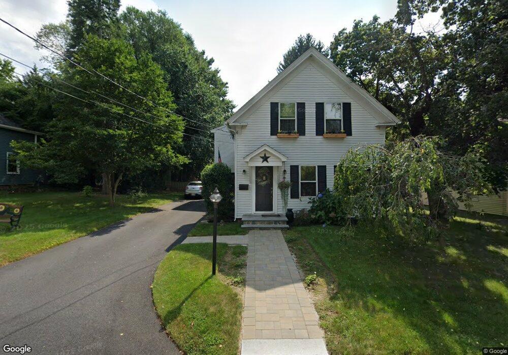
7 Guernsey St Medway, MA 02053
Estimated Value: $592,040 - $725,000
4
Beds
1
Bath
1,984
Sq Ft
$325/Sq Ft
Est. Value
About This Home
This home is located at 7 Guernsey St, Medway, MA 02053 and is currently estimated at $644,510, approximately $324 per square foot. 7 Guernsey St is a home located in Norfolk County with nearby schools including John D. McGovern Elementary School, Burke-Memorial Elementary, and Medway Middle School.
Ownership History
Date
Name
Owned For
Owner Type
Purchase Details
Closed on
Jul 30, 1998
Sold by
Kennedy John H and Kennedy Marian N
Bought by
Mcgoldrick Stephen J and Mcgoldrick Eileen P
Current Estimated Value
Home Financials for this Owner
Home Financials are based on the most recent Mortgage that was taken out on this home.
Original Mortgage
$140,000
Interest Rate
6.92%
Mortgage Type
Purchase Money Mortgage
Create a Home Valuation Report for This Property
The Home Valuation Report is an in-depth analysis detailing your home's value as well as a comparison with similar homes in the area
Home Values in the Area
Average Home Value in this Area
Purchase History
| Date | Buyer | Sale Price | Title Company |
|---|---|---|---|
| Mcgoldrick Stephen J | $153,000 | -- |
Source: Public Records
Mortgage History
| Date | Status | Borrower | Loan Amount |
|---|---|---|---|
| Open | Mcgoldrick Stephen J | $183,000 | |
| Closed | Mcgoldrick Stephen J | $140,000 | |
| Previous Owner | Mcgoldrick Stephen J | $122,000 |
Source: Public Records
Tax History Compared to Growth
Tax History
| Year | Tax Paid | Tax Assessment Tax Assessment Total Assessment is a certain percentage of the fair market value that is determined by local assessors to be the total taxable value of land and additions on the property. | Land | Improvement |
|---|---|---|---|---|
| 2025 | $7,034 | $493,600 | $282,100 | $211,500 |
| 2024 | $7,108 | $493,600 | $282,100 | $211,500 |
| 2023 | $6,838 | $429,000 | $233,700 | $195,300 |
| 2022 | $6,662 | $393,500 | $207,500 | $186,000 |
| 2021 | $6,563 | $375,900 | $191,400 | $184,500 |
| 2020 | $6,332 | $361,800 | $177,300 | $184,500 |
| 2019 | $6,053 | $356,700 | $177,300 | $179,400 |
| 2018 | $5,992 | $339,300 | $153,100 | $186,200 |
| 2017 | $6,007 | $335,200 | $153,100 | $182,100 |
| 2016 | $5,681 | $313,700 | $135,400 | $178,300 |
| 2015 | $5,093 | $279,200 | $120,900 | $158,300 |
| 2014 | $5,108 | $271,100 | $128,900 | $142,200 |
Source: Public Records
Map
Nearby Homes
- 4 Shaw St
- 28 Wellington St
- 280 Village St Unit D2
- 176 Main St Unit 3
- 21 Riverside Rd
- 220 Main St Unit 220
- 5 Fales St
- 22 Sunset Dr
- 6 Freedom Trail
- 14 Heritage Dr
- 0 Elm St
- 18 Mary Anne Dr
- 36 Lovering St
- 7 Gloucester Dr
- 3 Meryl St
- 12 Lovering St
- 14 Sanford St Unit 15
- 951 Pond St
- 20 Broad St Unit 6
- 20 Broad St Unit A