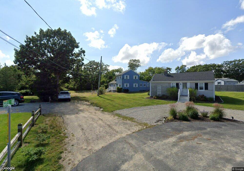
7 Gull Rd West Dennis, MA 02670
West Dennis NeighborhoodEstimated Value: $545,000 - $751,000
5
Beds
1
Bath
1,201
Sq Ft
$528/Sq Ft
Est. Value
About This Home
This home is located at 7 Gull Rd, West Dennis, MA 02670 and is currently estimated at $634,014, approximately $527 per square foot. 7 Gull Rd is a home located in Barnstable County with nearby schools including Dennis-Yarmouth Regional High School and St. Pius X. School.
Ownership History
Date
Name
Owned For
Owner Type
Purchase Details
Closed on
Oct 22, 2015
Sold by
Keenan Matthew and Keenan Patricia H
Bought by
Matthew T Keenan Ret and Keenan Matthew T
Current Estimated Value
Purchase Details
Closed on
Sep 21, 1993
Sold by
Ge Capital Asset Mgt
Bought by
Keenan Matthew and Keenan Patricia Hurley
Purchase Details
Closed on
Jul 2, 1993
Sold by
Ruggiero Elysa M
Bought by
Ge Capital Asset Mgmt
Purchase Details
Closed on
Dec 13, 1988
Sold by
Ruggiero Frank R
Bought by
Ruggiero E M
Home Financials for this Owner
Home Financials are based on the most recent Mortgage that was taken out on this home.
Original Mortgage
$116,800
Interest Rate
10.17%
Mortgage Type
Purchase Money Mortgage
Create a Home Valuation Report for This Property
The Home Valuation Report is an in-depth analysis detailing your home's value as well as a comparison with similar homes in the area
Home Values in the Area
Average Home Value in this Area
Purchase History
| Date | Buyer | Sale Price | Title Company |
|---|---|---|---|
| Matthew T Keenan Ret | -- | -- | |
| Keenan Matthew | $55,000 | -- | |
| Ge Capital Asset Mgmt | $59,150 | -- | |
| Ruggiero E M | $150,000 | -- |
Source: Public Records
Mortgage History
| Date | Status | Borrower | Loan Amount |
|---|---|---|---|
| Previous Owner | Ruggiero E M | $116,800 |
Source: Public Records
Tax History
| Year | Tax Paid | Tax Assessment Tax Assessment Total Assessment is a certain percentage of the fair market value that is determined by local assessors to be the total taxable value of land and additions on the property. | Land | Improvement |
|---|---|---|---|---|
| 2025 | $2,076 | $479,500 | $216,700 | $262,800 |
| 2024 | $2,068 | $471,000 | $208,400 | $262,600 |
| 2023 | $1,999 | $428,100 | $189,400 | $238,700 |
| 2022 | $1,808 | $322,800 | $147,900 | $174,900 |
| 2021 | $4,925 | $289,500 | $145,000 | $144,500 |
| 2020 | $1,617 | $265,100 | $156,100 | $109,000 |
| 2019 | $2,071 | $267,300 | $164,000 | $103,300 |
| 2018 | $1,560 | $246,100 | $145,700 | $100,400 |
| 2017 | $1,617 | $262,900 | $145,700 | $117,200 |
| 2016 | $1,640 | $251,200 | $150,900 | $100,300 |
| 2015 | $1,608 | $251,200 | $150,900 | $100,300 |
| 2014 | $1,595 | $251,200 | $150,900 | $100,300 |
Source: Public Records
Map
Nearby Homes
- 27 Mayflower Ln
- 111 School St Unit 5
- 10 Grindell Ave
- 467 Main St
- 520 Main St Unit 5
- 428 Main St Unit 1-11
- 23 Doric Ave
- 102 Lawrence Rd
- 112 Old Wharf Rd Unit E4
- 56 Uncle Rolf Rd
- 183 Captain Chase Rd
- 154 Old Wharf Rd Unit 14
- 33 Kelleys Pond Rd
- 3 Pinefield Ln
- 10 North Rd
- 205 Lower County Rd Unit 8
- 71 Main St
- 230 Old Wharf Rd Unit 272
- 230 Old Wharf Rd Unit 265
- 2 Rita Mary Way