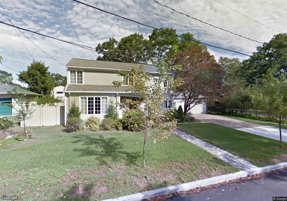
7 Harding St New Bedford, MA 02740
Buttonwood Park NeighborhoodEstimated Value: $546,000 - $621,000
3
Beds
4
Baths
2,344
Sq Ft
$244/Sq Ft
Est. Value
About This Home
This home is located at 7 Harding St, New Bedford, MA 02740 and is currently estimated at $572,606, approximately $244 per square foot. 7 Harding St is a home located in Bristol County with nearby schools including Betsey B. Winslow Elementary School, Keith Middle School, and New Bedford High School.
Ownership History
Date
Name
Owned For
Owner Type
Purchase Details
Closed on
Sep 7, 2007
Sold by
Mccarty William B
Bought by
Fragata Eduardo S and Fragata Heather H
Current Estimated Value
Purchase Details
Closed on
Jul 18, 2005
Sold by
Gamache David J and Gamache Leslie H
Bought by
Mccarty William B
Purchase Details
Closed on
May 30, 1997
Sold by
Jacobvitz Harry J and Jacobvitz Lynda
Bought by
Gamache David J and Gamache Leslie H
Create a Home Valuation Report for This Property
The Home Valuation Report is an in-depth analysis detailing your home's value as well as a comparison with similar homes in the area
Home Values in the Area
Average Home Value in this Area
Purchase History
| Date | Buyer | Sale Price | Title Company |
|---|---|---|---|
| Fragata Eduardo S | $282,000 | -- | |
| Fragata Eduardo S | $282,000 | -- | |
| Mccarty William B | $369,900 | -- | |
| Mccarty William B | $369,900 | -- | |
| Gamache David J | $149,900 | -- | |
| Gamache David J | $149,900 | -- |
Source: Public Records
Mortgage History
| Date | Status | Borrower | Loan Amount |
|---|---|---|---|
| Open | Gamache David J | $100,000 | |
| Closed | Gamache David J | $100,000 |
Source: Public Records
Tax History Compared to Growth
Tax History
| Year | Tax Paid | Tax Assessment Tax Assessment Total Assessment is a certain percentage of the fair market value that is determined by local assessors to be the total taxable value of land and additions on the property. | Land | Improvement |
|---|---|---|---|---|
| 2025 | $5,838 | $516,200 | $140,800 | $375,400 |
| 2024 | $5,818 | $484,800 | $134,200 | $350,600 |
| 2023 | $6,125 | $428,600 | $120,100 | $308,500 |
| 2022 | $5,650 | $363,600 | $114,400 | $249,200 |
| 2021 | $5,449 | $349,500 | $114,400 | $235,100 |
| 2020 | $5,325 | $329,500 | $118,800 | $210,700 |
| 2019 | $3,153 | $314,100 | $121,000 | $193,100 |
| 2018 | $8,294 | $273,200 | $121,000 | $152,200 |
| 2017 | $8,007 | $265,400 | $121,000 | $144,400 |
| 2016 | $4,182 | $253,600 | $114,400 | $139,200 |
| 2015 | $4,014 | $255,200 | $118,800 | $136,400 |
| 2014 | $3,892 | $256,700 | $121,000 | $135,700 |
Source: Public Records
Map
Nearby Homes
- 50 Gaywood St
- 729 Allen St
- 0 Victoria St Unit 73457953
- 511 Bedford St
- 59 Longwood Ave
- 35 Jenny Lind St
- 295 Commonwealth Ave
- 330 Maple St
- 124 Francis St
- 317 Commonwealth Ave
- 245 Brownell St
- 605 Union St
- 354-358 Arnold St
- 260 Maple St
- 122 Armour St
- 469 Hillman St
- 0 Norfolk Ave Unit 73403282
- 7 Winter St
- 25 Westwood Dr
- 119 Tremont St