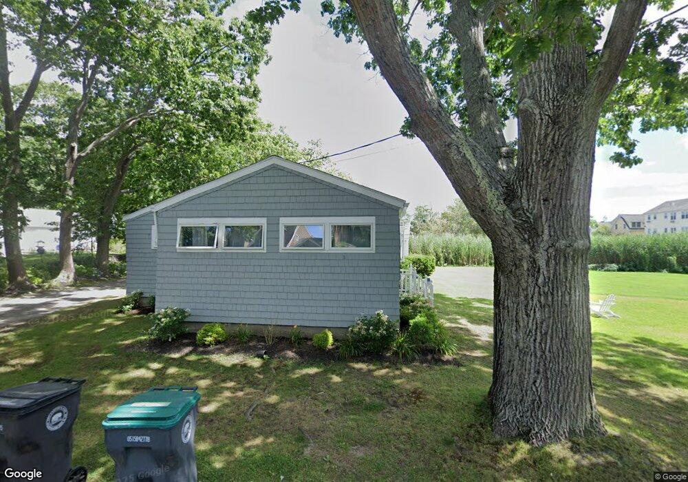
7 Harris Ln Kennebunk, ME 04043
Estimated Value: $1,496,826 - $1,969,000
4
Beds
2
Baths
2,099
Sq Ft
$824/Sq Ft
Est. Value
About This Home
This home is located at 7 Harris Ln, Kennebunk, ME 04043 and is currently estimated at $1,729,707, approximately $824 per square foot. 7 Harris Ln is a home located in York County with nearby schools including Kennebunk High School.
Ownership History
Date
Name
Owned For
Owner Type
Purchase Details
Closed on
Mar 2, 2018
Sold by
Preston Ft
Bought by
Wilson Daniel R and Wilson Donna
Current Estimated Value
Home Financials for this Owner
Home Financials are based on the most recent Mortgage that was taken out on this home.
Original Mortgage
$720,000
Outstanding Balance
$611,932
Interest Rate
4.04%
Mortgage Type
Purchase Money Mortgage
Estimated Equity
$1,117,775
Purchase Details
Closed on
Jun 21, 2010
Sold by
Preston Betty B
Bought by
Preston Ft
Create a Home Valuation Report for This Property
The Home Valuation Report is an in-depth analysis detailing your home's value as well as a comparison with similar homes in the area
Home Values in the Area
Average Home Value in this Area
Purchase History
| Date | Buyer | Sale Price | Title Company |
|---|---|---|---|
| Wilson Daniel R | -- | -- | |
| Preston Ft | -- | -- |
Source: Public Records
Mortgage History
| Date | Status | Borrower | Loan Amount |
|---|---|---|---|
| Open | Wilson Daniel R | $720,000 |
Source: Public Records
Tax History
| Year | Tax Paid | Tax Assessment Tax Assessment Total Assessment is a certain percentage of the fair market value that is determined by local assessors to be the total taxable value of land and additions on the property. | Land | Improvement |
|---|---|---|---|---|
| 2024 | $12,057 | $711,300 | $495,700 | $215,600 |
| 2023 | $11,416 | $711,300 | $495,700 | $215,600 |
| 2022 | $10,385 | $711,300 | $495,700 | $215,600 |
| 2021 | $10,136 | $711,300 | $495,700 | $215,600 |
| 2020 | $10,065 | $711,300 | $495,700 | $215,600 |
| 2019 | $2,979 | $711,300 | $495,700 | $215,600 |
| 2018 | $9,336 | $533,500 | $371,800 | $161,700 |
| 2017 | $8,829 | $533,500 | $371,800 | $161,700 |
| 2016 | $8,483 | $533,500 | $371,800 | $161,700 |
| 2015 | $8,163 | $533,500 | $371,800 | $161,700 |
| 2014 | $7,949 | $533,500 | $371,800 | $161,700 |
Source: Public Records
Map
Nearby Homes
- 221 Beach Ave
- 143 Beach Ave Unit 205
- 143 Beach Ave Unit 203
- 20 Surf Ln
- 12 Ephraim Tyler Way
- 87 Boothby Rd
- 16 Larboard Ln Unit 6
- 53 Great Hill Rd
- 13 Atlantic Cir
- 12 Beach Ave
- 7 Christensen Ln
- 3 Breakwater Ct Unit 1
- Lot 2 Woodland Dr
- 2A Ivy Ln
- 60 Ocean Ave
- Lot#39 Bufflehead Cove Ln
- 51 Woodland Dr
- 5 School St
- 2 Maine St Unit A
- 2 Maine St Unit B
Your Personal Tour Guide
Ask me questions while you tour the home.