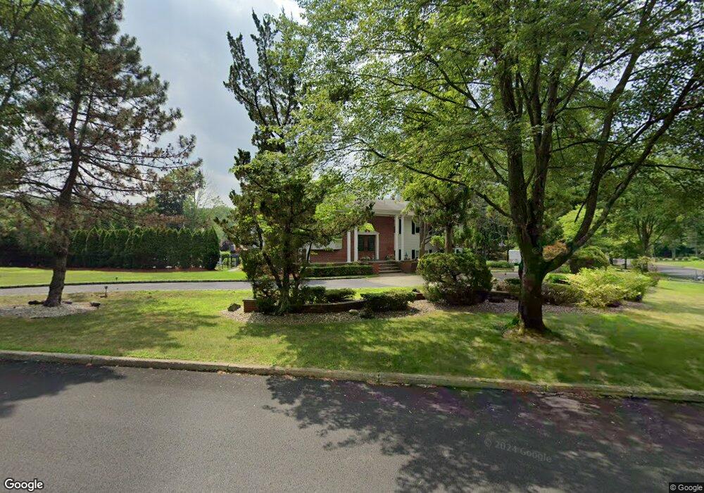
7 Heritage Rd Old Tappan, NJ 07675
Estimated Value: $1,161,000 - $1,870,000
Studio
--
Bath
4,800
Sq Ft
$323/Sq Ft
Est. Value
About This Home
This home is located at 7 Heritage Rd, Old Tappan, NJ 07675 and is currently estimated at $1,549,347, approximately $322 per square foot. 7 Heritage Rd is a home located in Bergen County with nearby schools including T. Baldwin Demarest Elementary School, Charles DeWolf Middle School, and Northern Valley Regional High School at Old Tappan.
Ownership History
Date
Name
Owned For
Owner Type
Purchase Details
Closed on
Jun 26, 2016
Sold by
Fleming Denise M and Fleming Brian J
Bought by
Fleming Denise M and Alexander Karen A
Current Estimated Value
Purchase Details
Closed on
Sep 15, 1999
Sold by
Walker Irene
Bought by
Walker Irene and Fleming Brian J
Home Financials for this Owner
Home Financials are based on the most recent Mortgage that was taken out on this home.
Original Mortgage
$222,500
Interest Rate
7.83%
Create a Home Valuation Report for This Property
The Home Valuation Report is an in-depth analysis detailing your home's value as well as a comparison with similar homes in the area
Home Values in the Area
Average Home Value in this Area
Purchase History
| Date | Buyer | Sale Price | Title Company |
|---|---|---|---|
| Fleming Denise M | -- | None Available | |
| Walker Irene | -- | -- |
Source: Public Records
Mortgage History
| Date | Status | Borrower | Loan Amount |
|---|---|---|---|
| Closed | Walker Irene | $222,500 |
Source: Public Records
Tax History
| Year | Tax Paid | Tax Assessment Tax Assessment Total Assessment is a certain percentage of the fair market value that is determined by local assessors to be the total taxable value of land and additions on the property. | Land | Improvement |
|---|---|---|---|---|
| 2025 | $21,784 | $989,300 | $500,000 | $489,300 |
| 2024 | $21,310 | $989,300 | $500,000 | $489,300 |
| 2023 | $21,052 | $989,300 | $500,000 | $489,300 |
| 2022 | $21,052 | $989,300 | $500,000 | $489,300 |
| 2021 | $20,476 | $989,300 | $500,000 | $489,300 |
| 2020 | $20,696 | $989,300 | $500,000 | $489,300 |
| 2019 | $20,409 | $989,300 | $500,000 | $489,300 |
| 2018 | $19,994 | $989,300 | $500,000 | $489,300 |
| 2017 | $19,835 | $989,300 | $500,000 | $489,300 |
| 2016 | $19,321 | $989,300 | $500,000 | $489,300 |
| 2015 | $19,014 | $989,300 | $500,000 | $489,300 |
| 2014 | $18,510 | $989,300 | $500,000 | $489,300 |
Source: Public Records
Map
Nearby Homes
- 43 Old Tappan Rd
- 645 Wildwood Rd W
- 1 Woods Edge Rd
- 32 Moeser Place
- 417 Tenakill Dr
- 7 Orchard Ln
- 192 White Ave
- 215 White Ave
- 1 Sherwood Ct
- 101 Hickory Hill Rd
- 427 Andre Ave
- 60 Stephens Rd
- 40 Orangeburgh Rd
- 21 Stephens Ln
- 112 Winding Creek
- 6 Andre Ave
- 401 Dercole Ct Unit 332
- 31 Virgil Rd
- 26 Garnett Place
- 141 Washington Spring Rd
Your Personal Tour Guide
Ask me questions while you tour the home.