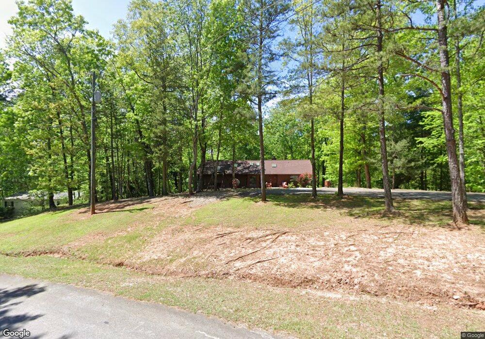
7 Highwood Hollow Ln Dawsonville, GA 30534
Dawson County NeighborhoodEstimated Value: $385,000 - $423,000
3
Beds
3
Baths
1,834
Sq Ft
$224/Sq Ft
Est. Value
About This Home
This home is located at 7 Highwood Hollow Ln, Dawsonville, GA 30534 and is currently estimated at $410,153, approximately $223 per square foot. 7 Highwood Hollow Ln is a home located in Dawson County with nearby schools including Riverview Elementary School, Dawson County Junior High School, and Dawson County Middle School.
Ownership History
Date
Name
Owned For
Owner Type
Purchase Details
Closed on
Jun 1, 2005
Sold by
Lynn Robert H
Bought by
Drake Sheila M
Current Estimated Value
Home Financials for this Owner
Home Financials are based on the most recent Mortgage that was taken out on this home.
Original Mortgage
$148,750
Outstanding Balance
$77,156
Interest Rate
5.66%
Mortgage Type
New Conventional
Estimated Equity
$332,997
Purchase Details
Closed on
May 12, 1988
Sold by
Lynn Sarah R
Bought by
Lynn Robert H and Lynn Valm
Create a Home Valuation Report for This Property
The Home Valuation Report is an in-depth analysis detailing your home's value as well as a comparison with similar homes in the area
Home Values in the Area
Average Home Value in this Area
Purchase History
| Date | Buyer | Sale Price | Title Company |
|---|---|---|---|
| Drake Sheila M | $175,000 | -- | |
| Lynn Robert H | -- | -- |
Source: Public Records
Mortgage History
| Date | Status | Borrower | Loan Amount |
|---|---|---|---|
| Open | Drake Sheila M | $148,750 |
Source: Public Records
Tax History Compared to Growth
Tax History
| Year | Tax Paid | Tax Assessment Tax Assessment Total Assessment is a certain percentage of the fair market value that is determined by local assessors to be the total taxable value of land and additions on the property. | Land | Improvement |
|---|---|---|---|---|
| 2024 | $2,509 | $151,964 | $21,800 | $130,164 |
| 2023 | $2,471 | $147,164 | $16,600 | $130,564 |
| 2022 | $2,380 | $111,100 | $13,080 | $98,020 |
| 2021 | $2,258 | $99,788 | $13,080 | $86,708 |
| 2020 | $2,243 | $94,788 | $10,000 | $84,788 |
| 2019 | $2,075 | $86,948 | $10,000 | $76,948 |
| 2018 | $2,079 | $86,948 | $10,000 | $76,948 |
| 2017 | $1,671 | $69,881 | $15,257 | $54,624 |
| 2016 | $1,592 | $66,555 | $15,257 | $51,298 |
| 2015 | $1,511 | $61,199 | $13,884 | $47,315 |
| 2014 | $1,420 | $55,711 | $13,884 | $41,827 |
| 2013 | -- | $48,597 | $13,883 | $34,714 |
Source: Public Records
Map
Nearby Homes
- 270 Clifton Dr
- 204 Hugh Stowers Rd
- 0 Mountain Brook Rd Unit 7614426
- 0 Mountain Brook Rd Unit 10571981
- 0 Mountain Brook Rd Unit 7614434
- 0 Mountain Brook Rd Unit 10570759
- 554 Vandiviere Rd
- 74 E Gate Dr
- 115 Rabbit Run
- 305 Mountain Brook Rd
- 1567 Thompson Rd
- 301 Collins Rd
- 0 Mill Creek Dr Unit 7479868
- 0 Mill Creek Dr Unit 10405516
- 64 Wehunt Rd
- 262 Magnolia Dr
- 46 Fernbrook Trail
- 181 Longleaf St
- 1190 Mill Creek Dr