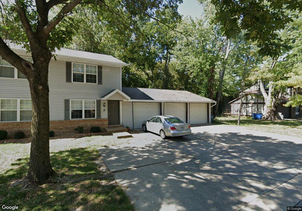
7 Holloway Dr Collinsville, IL 62234
Estimated Value: $193,000 - $268,242
4
Beds
4
Baths
1,152
Sq Ft
$190/Sq Ft
Est. Value
About This Home
This home is located at 7 Holloway Dr, Collinsville, IL 62234 and is currently estimated at $218,561, approximately $189 per square foot. 7 Holloway Dr is a home located in Madison County with nearby schools including John A Renfro Elementary School, Dorris Intermediate School, and Collinsville Middle School.
Ownership History
Date
Name
Owned For
Owner Type
Purchase Details
Closed on
Dec 31, 2017
Sold by
Osborn Trust
Bought by
Kcco Inc
Current Estimated Value
Purchase Details
Closed on
Dec 1, 2005
Sold by
Osborn Kim D
Bought by
Cedar Ridge Eagle Creek Llc
Purchase Details
Closed on
Feb 3, 2004
Sold by
Osborn Mary E
Bought by
Osborn Kim D
Home Financials for this Owner
Home Financials are based on the most recent Mortgage that was taken out on this home.
Original Mortgage
$110,000
Interest Rate
5.25%
Mortgage Type
New Conventional
Create a Home Valuation Report for This Property
The Home Valuation Report is an in-depth analysis detailing your home's value as well as a comparison with similar homes in the area
Home Values in the Area
Average Home Value in this Area
Purchase History
| Date | Buyer | Sale Price | Title Company |
|---|---|---|---|
| Kcco Inc | -- | Abstracts & Titles | |
| Cedar Ridge Eagle Creek Llc | -- | Abstracts & Titles Inc | |
| Osborn Kim D | -- | Abstracts & Titles Inc |
Source: Public Records
Mortgage History
| Date | Status | Borrower | Loan Amount |
|---|---|---|---|
| Previous Owner | Osborn Kim D | $110,000 |
Source: Public Records
Tax History Compared to Growth
Tax History
| Year | Tax Paid | Tax Assessment Tax Assessment Total Assessment is a certain percentage of the fair market value that is determined by local assessors to be the total taxable value of land and additions on the property. | Land | Improvement |
|---|---|---|---|---|
| 2024 | $5,346 | $83,620 | $16,790 | $66,830 |
| 2023 | $5,346 | $77,400 | $15,540 | $61,860 |
| 2022 | $5,094 | $71,570 | $14,370 | $57,200 |
| 2021 | $4,645 | $67,240 | $13,500 | $53,740 |
| 2020 | $4,478 | $64,150 | $12,880 | $51,270 |
| 2019 | $4,359 | $61,960 | $12,440 | $49,520 |
| 2018 | $4,261 | $58,690 | $11,780 | $46,910 |
| 2017 | $4,269 | $57,530 | $11,550 | $45,980 |
| 2016 | $5,523 | $70,680 | $11,550 | $59,130 |
| 2015 | $5,153 | $68,840 | $11,250 | $57,590 |
| 2014 | $5,153 | $68,840 | $11,250 | $57,590 |
| 2013 | $5,153 | $68,840 | $11,250 | $57,590 |
Source: Public Records
Map
Nearby Homes
- 1224 Cedar Ridge Ct
- 308 Brown Ave
- 1120 Williams St
- 1210 Constance St
- 617 N Morrison Ave
- 203 Greenfield Dr
- 414 Bunker Hill Dr
- 501 Spring
- 123 W Wickliffe Ave
- 22 Brookwood Dr
- 0 N Keebler Ave
- 5 Brookwood Dr
- 0 Strong Ave
- 123 Elliot St
- 580 N Guernsey St
- 919 Vine St
- 706 Illinois Ave
- 1227 Ridge Ave
- 921 Prospect St
- 510 N Combs Ave