7 Homestead Cir Bedford, MA 01730
Estimated Value: $1,426,027 - $1,810,000
5
Beds
5
Baths
3,124
Sq Ft
$531/Sq Ft
Est. Value
About This Home
This home is located at 7 Homestead Cir, Bedford, MA 01730 and is currently estimated at $1,658,007, approximately $530 per square foot. 7 Homestead Cir is a home located in Middlesex County with nearby schools including Lt. Elezer Davis Elementary School, Lt .Job Lane Elementary School, and John Glenn Middle School.
Ownership History
Date
Name
Owned For
Owner Type
Purchase Details
Closed on
Jul 23, 2024
Sold by
Wirth Karl E and Wirth Elizabrth D
Bought by
7 Homestead Circle Nt and Wirth
Current Estimated Value
Purchase Details
Closed on
Apr 27, 2012
Sold by
Karl and Karl Elizabeth Wirth
Bought by
Wirth Karl E and With Elizabeth D
Home Financials for this Owner
Home Financials are based on the most recent Mortgage that was taken out on this home.
Original Mortgage
$406,000
Interest Rate
3.91%
Mortgage Type
New Conventional
Purchase Details
Closed on
Aug 7, 2007
Sold by
Wirth Elizabeth D and Wirth Karl E
Bought by
F Karl and Karl Elizabeth Wirth
Purchase Details
Closed on
Apr 6, 2007
Sold by
Leblanc Kathryn and Leblanc Norman
Bought by
Wirth Elizabeth D and Wirth Karl E
Create a Home Valuation Report for This Property
The Home Valuation Report is an in-depth analysis detailing your home's value as well as a comparison with similar homes in the area
Home Values in the Area
Average Home Value in this Area
Purchase History
| Date | Buyer | Sale Price | Title Company |
|---|---|---|---|
| 7 Homestead Circle Nt | -- | None Available | |
| 7 Homestead Circle Nt | -- | None Available | |
| Wirth Karl E | -- | -- | |
| Wirth Karl E | -- | -- | |
| F Karl | -- | -- | |
| Wirth Elizabeth D | $815,000 | -- | |
| Wirth Karl E | -- | -- | |
| Karl | -- | -- | |
| Wirth Elizabeth D | $815,000 | -- |
Source: Public Records
Mortgage History
| Date | Status | Borrower | Loan Amount |
|---|---|---|---|
| Previous Owner | Wirth Karl E | $406,000 |
Source: Public Records
Tax History Compared to Growth
Tax History
| Year | Tax Paid | Tax Assessment Tax Assessment Total Assessment is a certain percentage of the fair market value that is determined by local assessors to be the total taxable value of land and additions on the property. | Land | Improvement |
|---|---|---|---|---|
| 2025 | $143 | $1,186,100 | $536,100 | $650,000 |
| 2024 | $13,420 | $1,129,600 | $510,500 | $619,100 |
| 2023 | $13,402 | $1,073,900 | $480,500 | $593,400 |
| 2022 | $13,159 | $969,000 | $440,500 | $528,500 |
| 2021 | $13,111 | $969,000 | $440,500 | $528,500 |
| 2020 | $12,729 | $965,800 | $437,300 | $528,500 |
| 2019 | $11,588 | $894,100 | $437,300 | $456,800 |
| 2018 | $11,965 | $870,800 | $408,800 | $462,000 |
| 2017 | $13,039 | $880,400 | $418,400 | $462,000 |
| 2016 | $12,407 | $811,982 | $380,400 | $431,582 |
| 2015 | $11,871 | $811,982 | $380,400 | $431,582 |
| 2014 | $11,896 | $757,200 | $330,300 | $426,900 |
Source: Public Records
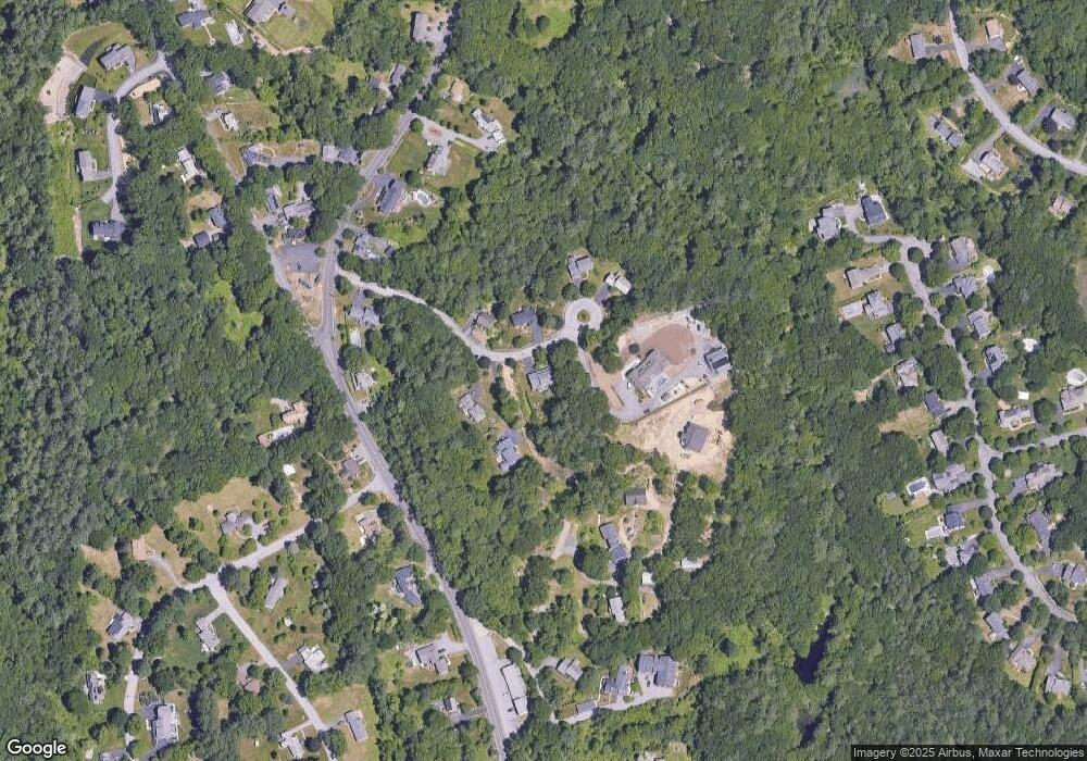
Map
Nearby Homes
- 332 North Rd
- 12 Springs Rd
- 7 Stonegate Ln Unit 134
- 7 Alder Way Unit 159
- 5 Chestnut Ln Unit 120
- 34 Pickman Dr Unit 14
- 25 Pickman Dr Unit 25
- 1 Harvard Dr
- 32 Marshall St
- 6 Edgehill Rd
- 267 Carlisle Rd
- 43 Outlook Rd
- 63 Outlook Rd
- 483 Middlesex Turnpike
- 481 Middlesex Turnpike
- 62 Carlisle Rd
- 463 Middlesex Turnpike
- 5 Aspen Cir
- 454 Middlesex Turnpike
- 251A Old Billerica Rd