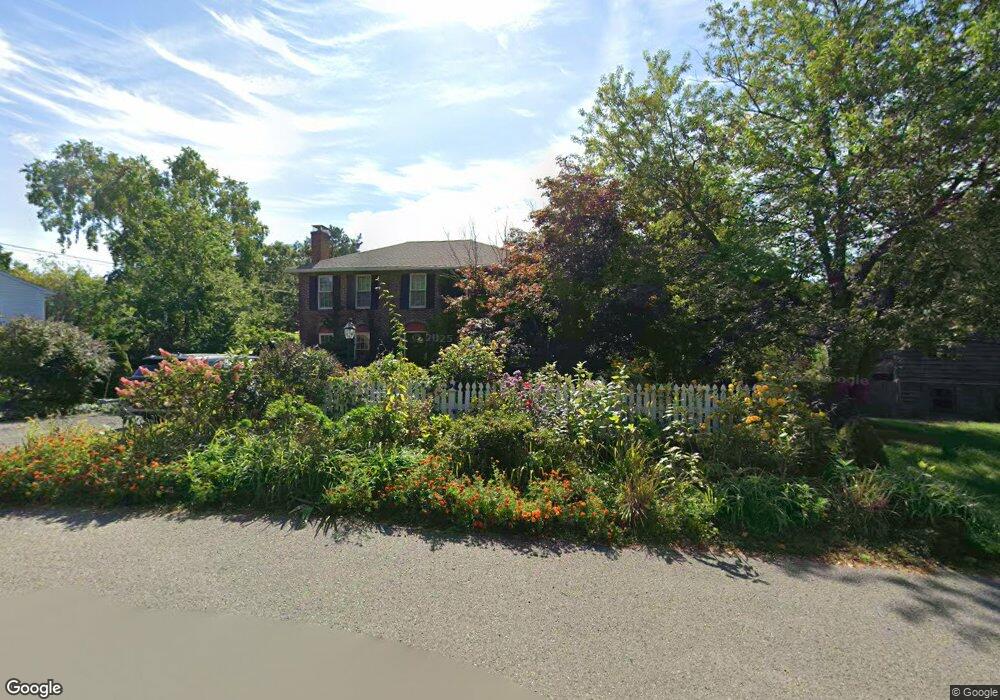
7 Honeysuckle Rd Gloucester, MA 01930
Riverview NeighborhoodEstimated Value: $805,000 - $1,020,000
3
Beds
3
Baths
1,800
Sq Ft
$495/Sq Ft
Est. Value
About This Home
This home is located at 7 Honeysuckle Rd, Gloucester, MA 01930 and is currently estimated at $891,700, approximately $495 per square foot. 7 Honeysuckle Rd is a home with nearby schools including Beeman Memorial, Ralph B O'maley Middle School, and Faith Christian School.
Ownership History
Date
Name
Owned For
Owner Type
Purchase Details
Closed on
Jan 16, 2020
Sold by
Bentley Jeanne P and Bentley Thomas L
Bought by
Bentley Ft
Current Estimated Value
Purchase Details
Closed on
Jun 23, 2015
Sold by
Trinity Congr Church
Bought by
Bentley Thomas L and Bentley Jeanne P
Home Financials for this Owner
Home Financials are based on the most recent Mortgage that was taken out on this home.
Original Mortgage
$329,600
Interest Rate
3.78%
Mortgage Type
New Conventional
Create a Home Valuation Report for This Property
The Home Valuation Report is an in-depth analysis detailing your home's value as well as a comparison with similar homes in the area
Home Values in the Area
Average Home Value in this Area
Purchase History
| Date | Buyer | Sale Price | Title Company |
|---|---|---|---|
| Bentley Ft | -- | None Available | |
| Bentley Thomas L | $412,000 | -- |
Source: Public Records
Mortgage History
| Date | Status | Borrower | Loan Amount |
|---|---|---|---|
| Previous Owner | Bentley Thomas L | $329,600 |
Source: Public Records
Tax History Compared to Growth
Tax History
| Year | Tax Paid | Tax Assessment Tax Assessment Total Assessment is a certain percentage of the fair market value that is determined by local assessors to be the total taxable value of land and additions on the property. | Land | Improvement |
|---|---|---|---|---|
| 2025 | $8,106 | $834,000 | $279,200 | $554,800 |
| 2024 | $7,984 | $820,600 | $265,800 | $554,800 |
| 2023 | $7,653 | $722,700 | $237,400 | $485,300 |
| 2022 | $7,415 | $632,100 | $201,700 | $430,400 |
| 2021 | $5,916 | $475,600 | $183,400 | $292,200 |
| 2020 | $6,611 | $536,200 | $183,400 | $352,800 |
| 2019 | $6,335 | $499,200 | $183,400 | $315,800 |
| 2018 | $6,125 | $473,700 | $183,400 | $290,300 |
| 2017 | $5,979 | $453,300 | $174,600 | $278,700 |
| 2016 | -- | $438,100 | $175,100 | $263,000 |
| 2015 | -- | $418,200 | $175,100 | $243,100 |
Source: Public Records
Map
Nearby Homes
- 49 Thurston Point Rd
- 109 Riverview Rd
- 18 Cherry St
- 65 Poplar St
- 19 Mystic Ave
- 188 Atlantic St
- 30 Atlantic St
- 672 Washington St
- 196 Washington St
- 78 Grove St
- 226 Atlantic St
- 3 Stone Ct
- 145 Essex Ave Unit 610
- 5 Samoset Rd Unit A
- 15 Harvard St
- 40 Sargent St
- 33 Maplewood Ave Unit 21
- 119 Pleasant St
- 8 Summer St Unit 103
- 5 Washington Square
- 9 Blueberry Ln
- 9 Honeysuckle Rd
- 8 Honeysuckle Rd
- 12 Blueberry Ln
- 11 Honeysuckle Rd
- 7 Blueberry Ln
- 6 Honeysuckle Rd
- 12 Honeysuckle Rd
- 8 Blueberry Ln
- 15 Juniper Rd
- 4 Honeysuckle Rd
- 13 Juniper Rd
- 14 Honeysuckle Rd
- 22 Thurston Point Rd
- 13 Honeysuckle Rd
- 11 Juniper Rd
- 6 Blueberry Ln
- 16 Thurston Point Rd
- 2 Honeysuckle Rd
- 17 Honeysuckle Rd