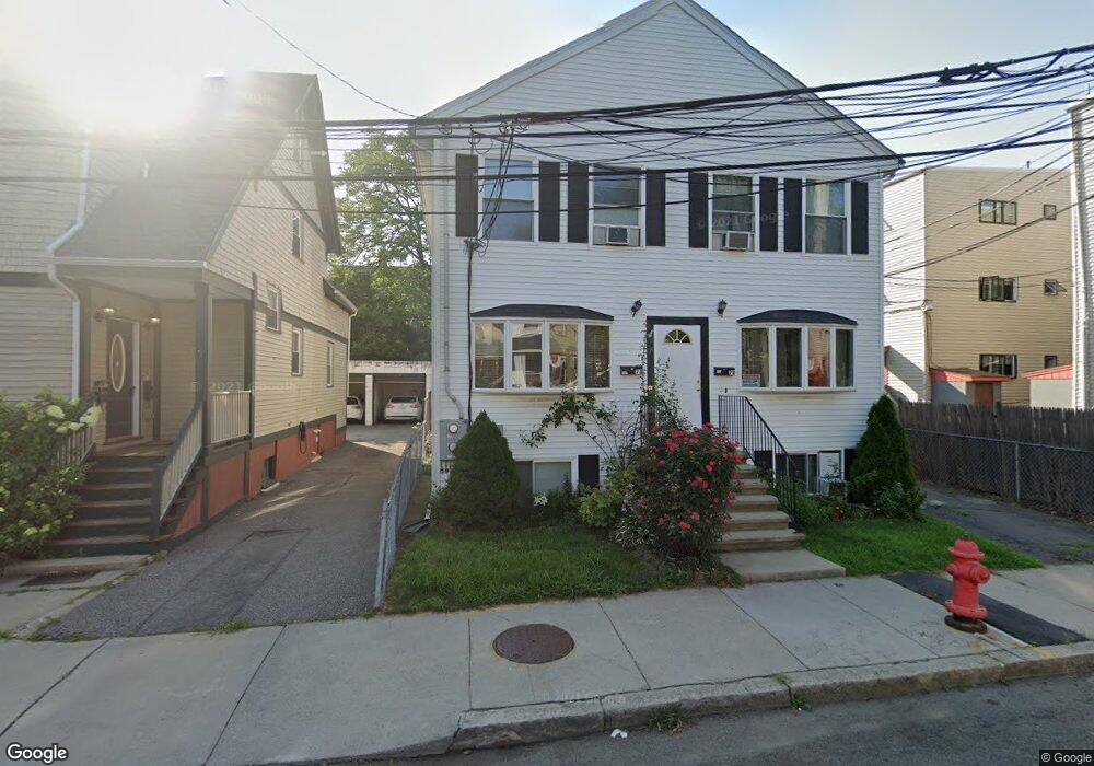
7 James St Unit A Somerville, MA 02145
Winter Hill NeighborhoodEstimated Value: $730,000 - $801,000
3
Beds
3
Baths
1,237
Sq Ft
$612/Sq Ft
Est. Value
About This Home
This home is located at 7 James St Unit A, Somerville, MA 02145 and is currently estimated at $756,488, approximately $611 per square foot. 7 James St Unit A is a home located in Middlesex County with nearby schools including Somerville High School and Bright Future Educare Center.
Ownership History
Date
Name
Owned For
Owner Type
Purchase Details
Closed on
Sep 4, 2003
Sold by
Ornatek Emily S and Garvin James M
Bought by
Pileeki James I and Campos Sandra G
Current Estimated Value
Home Financials for this Owner
Home Financials are based on the most recent Mortgage that was taken out on this home.
Original Mortgage
$290,000
Outstanding Balance
$132,492
Interest Rate
6.02%
Mortgage Type
Purchase Money Mortgage
Estimated Equity
$623,996
Create a Home Valuation Report for This Property
The Home Valuation Report is an in-depth analysis detailing your home's value as well as a comparison with similar homes in the area
Home Values in the Area
Average Home Value in this Area
Purchase History
| Date | Buyer | Sale Price | Title Company |
|---|---|---|---|
| Pileeki James I | $325,000 | -- |
Source: Public Records
Mortgage History
| Date | Status | Borrower | Loan Amount |
|---|---|---|---|
| Open | Pileeki James I | $290,000 |
Source: Public Records
Tax History Compared to Growth
Tax History
| Year | Tax Paid | Tax Assessment Tax Assessment Total Assessment is a certain percentage of the fair market value that is determined by local assessors to be the total taxable value of land and additions on the property. | Land | Improvement |
|---|---|---|---|---|
| 2025 | $6,863 | $629,100 | $0 | $629,100 |
| 2024 | $6,401 | $608,500 | $0 | $608,500 |
| 2023 | $6,238 | $603,300 | $0 | $603,300 |
| 2022 | $6,037 | $593,000 | $0 | $593,000 |
| 2021 | $5,854 | $574,500 | $0 | $574,500 |
| 2020 | $5,751 | $570,000 | $0 | $570,000 |
| 2019 | $6,075 | $564,600 | $0 | $564,600 |
| 2018 | $5,306 | $469,100 | $0 | $469,100 |
| 2017 | $5,306 | $454,700 | $0 | $454,700 |
| 2016 | $5,165 | $412,200 | $0 | $412,200 |
| 2015 | $4,247 | $336,800 | $0 | $336,800 |
Source: Public Records
Map
Nearby Homes
- 232 Pearl St
- 7 Stickney Ave
- 10 Mortimer Place
- 74 Gilman St Unit 1
- 185 School St
- 28 Highland Ave Unit 3
- 36 Everett Ave
- 9 Montgomery Ave Unit 1
- 39 Gilman St
- 19 Everett Ave
- 11 Macarthur St Unit B
- 11 Macarthur St Unit A
- 25 Auburn Ave Unit 2
- 16 Bonair St
- 31 Thurston St Unit 6
- 400 Possum Run
- 14 Bonair St Unit 14
- 43 Cross St
- 115 Highland Ave Unit 21
- 84 Cross St
- 7 James St Unit B
- 7 James St Unit 7B
- 9 James St Unit 2
- 9 James St Unit 1
- 9 James St
- 11 James St
- 223 Pearl St Unit 1
- 219 Pearl St Unit 3
- 219 Pearl St Unit 1
- 221 Pearl St Unit 1
- 116 Walnut St
- 118 Walnut St
- 223 Pearl St Unit 2
- 120 Walnut St
- 120 Walnut St
- 120 Walnut St Unit 1
- 120 Walnut St Unit 2
- 217 Pearl St
- 15 James St
- 15 James St Unit 3