7 Jill Ln New City, NY 10956
Estimated Value: $898,512 - $1,423,000
--
Bed
1
Bath
5,939
Sq Ft
$181/Sq Ft
Est. Value
About This Home
This home is located at 7 Jill Ln, New City, NY 10956 and is currently estimated at $1,077,628, approximately $181 per square foot. 7 Jill Ln is a home located in Rockland County with nearby schools including Woodglen Elementary School, Felix Festa Middle School, and Clarkstown North Senior High School.
Ownership History
Date
Name
Owned For
Owner Type
Purchase Details
Closed on
Sep 26, 2007
Sold by
Doornbosch Jill
Bought by
Newman Kenneth
Current Estimated Value
Home Financials for this Owner
Home Financials are based on the most recent Mortgage that was taken out on this home.
Original Mortgage
$417,000
Outstanding Balance
$261,720
Interest Rate
6.49%
Mortgage Type
Purchase Money Mortgage
Estimated Equity
$815,908
Create a Home Valuation Report for This Property
The Home Valuation Report is an in-depth analysis detailing your home's value as well as a comparison with similar homes in the area
Home Values in the Area
Average Home Value in this Area
Purchase History
| Date | Buyer | Sale Price | Title Company |
|---|---|---|---|
| Newman Kenneth | $615,000 | Stewart Title Insurance Co | |
| Newman Kenneth | $615,000 | Stewart Title Insurance Co | |
| Newman Kenneth | $615,000 | Stewart Title Insurance Co |
Source: Public Records
Mortgage History
| Date | Status | Borrower | Loan Amount |
|---|---|---|---|
| Open | Newman Kenneth | $417,000 | |
| Closed | Newman Kenneth | $417,000 |
Source: Public Records
Tax History Compared to Growth
Tax History
| Year | Tax Paid | Tax Assessment Tax Assessment Total Assessment is a certain percentage of the fair market value that is determined by local assessors to be the total taxable value of land and additions on the property. | Land | Improvement |
|---|---|---|---|---|
| 2024 | $22,243 | $287,230 | $68,900 | $218,330 |
| 2023 | $22,243 | $276,230 | $68,900 | $207,330 |
| 2022 | $17,425 | $186,200 | $68,900 | $117,300 |
| 2021 | $17,425 | $186,200 | $68,900 | $117,300 |
| 2020 | $17,326 | $186,200 | $68,900 | $117,300 |
| 2019 | $16,580 | $186,200 | $68,900 | $117,300 |
| 2018 | $16,580 | $186,200 | $68,900 | $117,300 |
| 2017 | $16,173 | $186,200 | $68,900 | $117,300 |
| 2016 | $16,061 | $186,200 | $68,900 | $117,300 |
| 2015 | -- | $186,200 | $68,900 | $117,300 |
| 2014 | -- | $186,200 | $79,600 | $106,600 |
Source: Public Records
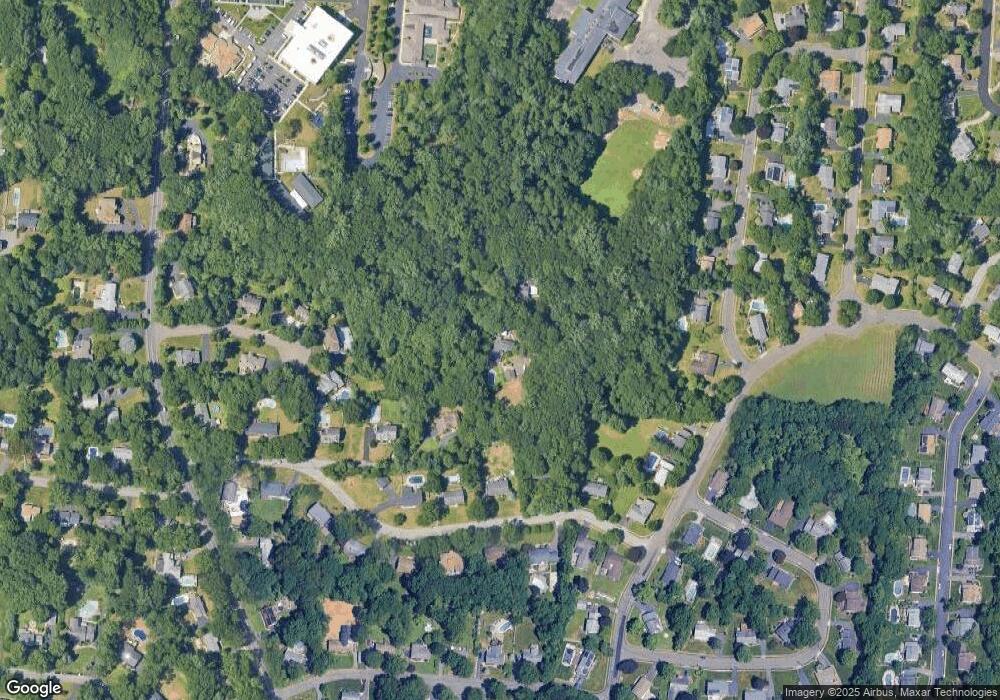
Map
Nearby Homes
- 11 Ungava Dr
- 8 Ungava Dr
- 40 Ruth Dr
- 28 The Promenade
- 4 Susan Dr
- 8 Liberty Cir
- 31 Concord Dr
- 11 Old Phillips Hill Rd
- 39 Old Phillips Hill Rd
- 5 Rookery Cir
- 31 Brookline Way
- 44 Yale Dr
- 352 Phillips Hill Rd
- 369 Phillips Hill Rd
- 13 (formerly 19A) Deerfield Dr
- 28 Nob Hill Rd
- 30 James St
- 85 Old Phillips Hill Rd
- 12 Heritage Dr Unit C
- 31 Verdin Dr
- 9 Jill Ln
- 5 Jill Ln
- 14 Little Brook Ln
- 12 Little Brook Ln
- 1 Jill Ln
- 10 Little Brook Ln
- 6 Alton Ct
- 16 Little Brook Ln
- 6 Little Brook Ln
- 51 Susan Dr
- 5 Alton Ct
- 17 Lansdale Rd
- 49 Susan Dr
- 55 Susan Dr
- 18 Little Brook Ln
- 15 Lansdale Rd
- 13 Little Brook Ln
- 15 Little Brook Ln
- 17 Little Brook Ln
- 11 Little Brook Ln