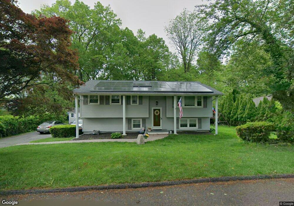
7 Johnson Blvd Byram Township, NJ 07821
Estimated Value: $393,034 - $566,000
Studio
--
Bath
1,720
Sq Ft
$277/Sq Ft
Est. Value
About This Home
This home is located at 7 Johnson Blvd, Byram Township, NJ 07821 and is currently estimated at $476,759, approximately $277 per square foot. 7 Johnson Blvd is a home located in Sussex County with nearby schools including Byram Lakes Elementary School, Byram Township Intermediate School, and Lenape Val Regional High School.
Ownership History
Date
Name
Owned For
Owner Type
Purchase Details
Closed on
Aug 23, 2007
Sold by
Walsh Josephine
Bought by
Luaces Carlos B and Luaces Kerrilyn A
Current Estimated Value
Home Financials for this Owner
Home Financials are based on the most recent Mortgage that was taken out on this home.
Original Mortgage
$322,770
Outstanding Balance
$205,612
Interest Rate
6.78%
Mortgage Type
FHA
Estimated Equity
$271,147
Purchase Details
Closed on
Nov 18, 1996
Sold by
Bacon Dennis M and Bacon Lisa L
Bought by
Freundlich Harold
Create a Home Valuation Report for This Property
The Home Valuation Report is an in-depth analysis detailing your home's value as well as a comparison with similar homes in the area
Home Values in the Area
Average Home Value in this Area
Purchase History
| Date | Buyer | Sale Price | Title Company |
|---|---|---|---|
| Luaces Carlos B | $328,000 | Commonwealth Land Title Insu | |
| Freundlich Harold | -- | -- |
Source: Public Records
Mortgage History
| Date | Status | Borrower | Loan Amount |
|---|---|---|---|
| Open | Luaces Carlos B | $322,770 |
Source: Public Records
Tax History
| Year | Tax Paid | Tax Assessment Tax Assessment Total Assessment is a certain percentage of the fair market value that is determined by local assessors to be the total taxable value of land and additions on the property. | Land | Improvement |
|---|---|---|---|---|
| 2025 | $8,453 | $220,700 | $99,000 | $121,700 |
| 2024 | $8,303 | $220,700 | $99,000 | $121,700 |
Source: Public Records
Map
Nearby Homes
- 6 Jans Way
- 4 Bank St
- 56A Sleepy Hollow Rd
- 00 Forest Lakes Dr
- 8 Cub Lake Rd
- 153 Forest Lake Dr N
- 9 Newton Ave
- 7 U S Highway 206
- 182 Lackawanna Dr
- 17 Brookwood Dr
- 35 Silas Rd
- 26 Hemlock Rd
- 2 Robert St
- 28 Acorn St
- 10 Sunny Ln
- 11 Beech St
- 0 Decker Pond Airport Rd Unit 3945534
- 45 Belton St
- 52 Whitehall Rd
- 9160 Ashland Ct Unit 160
- 9 Johnson Blvd
- 5 Johnson Blvd
- 6 Johnson Blvd
- 10 Johnson Blvd
- 11 Johnson Blvd
- 5 Pierson Dr
- 7 Pierson Dr
- 3 Johnson Blvd
- 9 Pierson Dr
- 12 Johnson Blvd
- 4 Johnson Blvd
- 230 Us Highway 206
- 15 Pierson Dr
- 13 Johnson Blvd
- 20 Birch Rd
- 226 Us Highway 206
- 226 Us Highway 206
- 224 U S 206
- 14 Johnson Blvd
- 8 Pierson Dr
Your Personal Tour Guide
Ask me questions while you tour the home.