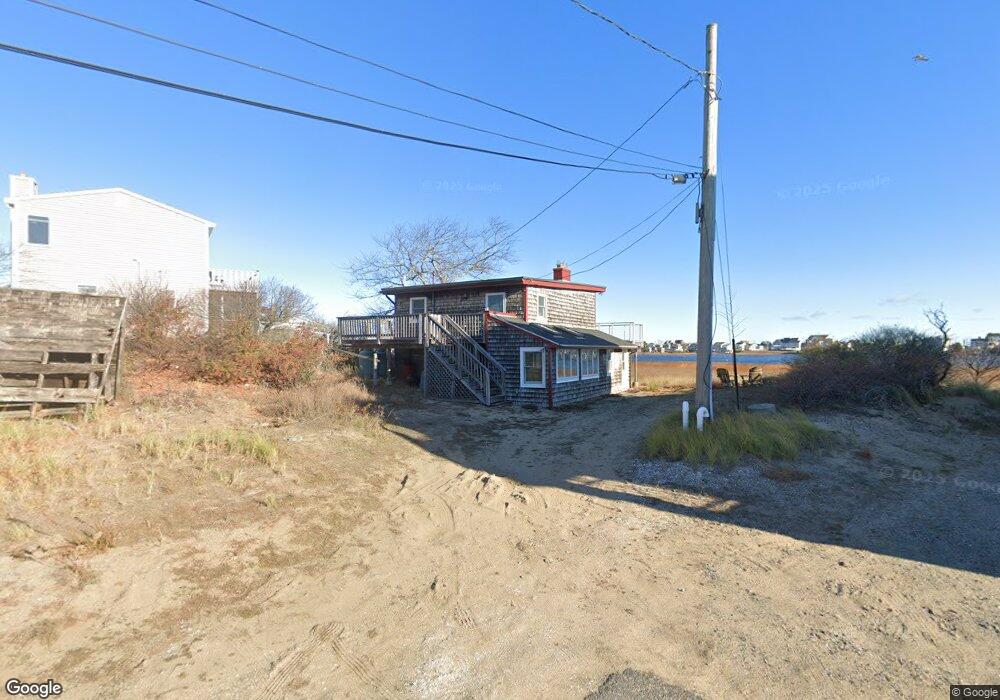
7 Johnson Rd Newbury, MA 01951
Estimated Value: $934,887 - $985,000
3
Beds
1
Bath
1,173
Sq Ft
$820/Sq Ft
Est. Value
About This Home
This home is located at 7 Johnson Rd, Newbury, MA 01951 and is currently estimated at $961,472, approximately $819 per square foot. 7 Johnson Rd is a home with nearby schools including Triton Regional High School and Immaculate Conception School.
Ownership History
Date
Name
Owned For
Owner Type
Purchase Details
Closed on
May 28, 2003
Sold by
Snodgrass Bambi and Prah Christopher
Bought by
Afel Rt
Current Estimated Value
Home Financials for this Owner
Home Financials are based on the most recent Mortgage that was taken out on this home.
Original Mortgage
$320,000
Outstanding Balance
$140,988
Interest Rate
5.86%
Mortgage Type
Purchase Money Mortgage
Estimated Equity
$820,484
Purchase Details
Closed on
Aug 16, 1991
Sold by
Flanagan John B
Bought by
Beaudoin Robert
Create a Home Valuation Report for This Property
The Home Valuation Report is an in-depth analysis detailing your home's value as well as a comparison with similar homes in the area
Home Values in the Area
Average Home Value in this Area
Purchase History
| Date | Buyer | Sale Price | Title Company |
|---|---|---|---|
| Afel Rt | -- | -- | |
| Prah Christopher | $400,000 | -- | |
| Afel Rt | -- | -- | |
| Beaudoin Robert | $71,000 | -- | |
| Beaudoin Robert | $71,000 | -- |
Source: Public Records
Mortgage History
| Date | Status | Borrower | Loan Amount |
|---|---|---|---|
| Open | Beaudoin Robert | $320,000 | |
| Closed | Beaudoin Robert | $320,000 | |
| Previous Owner | Beaudoin Robert | $90,000 |
Source: Public Records
Tax History Compared to Growth
Tax History
| Year | Tax Paid | Tax Assessment Tax Assessment Total Assessment is a certain percentage of the fair market value that is determined by local assessors to be the total taxable value of land and additions on the property. | Land | Improvement |
|---|---|---|---|---|
| 2025 | $6,791 | $911,500 | $654,800 | $256,700 |
| 2024 | $6,715 | $874,300 | $635,000 | $239,300 |
| 2023 | $5,654 | $652,100 | $436,600 | $215,500 |
| 2022 | $5,168 | $531,100 | $347,300 | $183,800 |
| 2021 | $5,364 | $503,200 | $327,400 | $175,800 |
| 2020 | $5,135 | $467,200 | $297,700 | $169,500 |
| 2019 | $4,835 | $447,300 | $277,800 | $169,500 |
| 2018 | $4,667 | $428,200 | $277,800 | $150,400 |
| 2017 | $4,476 | $421,900 | $277,800 | $144,100 |
| 2016 | $4,228 | $370,900 | $258,000 | $112,900 |
| 2015 | $4,501 | $390,700 | $277,800 | $112,900 |
| 2014 | $4,423 | $390,700 | $277,800 | $112,900 |
Source: Public Records
Map
Nearby Homes
- 44 Old Point Rd
- 5 Helena St
- 2 Plum Island Blvd
- 5 Northern Blvd
- 11 Sunset Dr
- 4 54th St
- 12 53rd St
- 2 Sunset Dr
- 11 Harbor St
- 28 & 30 Plum Island Turnpike
- 12 Barker St
- 65 Plum Island Turnpike
- 10 Meadowview Ln Unit B
- 33 Union St
- 4 Goodwin Ave
- 1 Lancaster Rd
- 24 Seaview Ln
- 7 Pine Island Rd
- 141 Atlantic Ave
- 105 High Rd Unit Lot 2