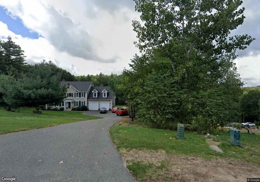
7 Katie Ln Palmer, MA 01069
Estimated Value: $419,000 - $492,000
3
Beds
2
Baths
1,316
Sq Ft
$349/Sq Ft
Est. Value
About This Home
This home is located at 7 Katie Ln, Palmer, MA 01069 and is currently estimated at $458,880, approximately $348 per square foot. 7 Katie Ln is a home located in Hampden County with nearby schools including Old Mill Pond Elementary School, Converse Middle School, and Palmer High School.
Create a Home Valuation Report for This Property
The Home Valuation Report is an in-depth analysis detailing your home's value as well as a comparison with similar homes in the area
Home Values in the Area
Average Home Value in this Area
Tax History Compared to Growth
Tax History
| Year | Tax Paid | Tax Assessment Tax Assessment Total Assessment is a certain percentage of the fair market value that is determined by local assessors to be the total taxable value of land and additions on the property. | Land | Improvement |
|---|---|---|---|---|
| 2025 | $6,813 | $372,700 | $52,200 | $320,500 |
| 2024 | $6,327 | $338,900 | $47,900 | $291,000 |
| 2023 | $2,652 | $136,400 | $47,900 | $88,500 |
| 2022 | $901 | $42,100 | $42,100 | $0 |
| 2021 | $1,050 | $46,400 | $46,400 | $0 |
| 2020 | $1,058 | $46,400 | $46,400 | $0 |
| 2019 | $1,027 | $46,400 | $46,400 | $0 |
| 2018 | $996 | $45,100 | $45,100 | $0 |
| 2017 | $973 | $45,100 | $45,100 | $0 |
| 2016 | $934 | $43,900 | $43,900 | $0 |
| 2015 | $906 | $43,900 | $43,900 | $0 |
Source: Public Records
Map
Nearby Homes
- 60 Beech St
- 0 Old Warren Rd
- 4560 High St
- 10, 11-12 Ware St
- 4329 High St
- 0 Flynt St
- 302 Boston Rd
- Lot 8 Breckenridge St
- 275 State St
- Lot 2 State St
- 135 Thompson St
- 207 Breckenridge St
- L 65-35-1 Pine Hill Dr
- 0 St Unit 73414881
- 748 River St Unit 1
- 4048 High St
- Lots 39-42 Lawrence
- 15 Michael Dr Unit 15
- Lot 0 Thorndike and Lawrence St
- 62-91 Lawrence St