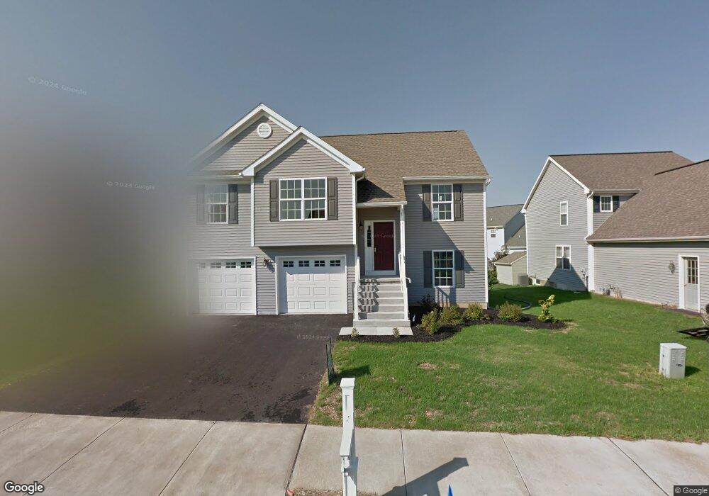
7 Kennedy Dr Ephrata, PA 17522
Estimated Value: $345,581 - $421,000
3
Beds
3
Baths
1,243
Sq Ft
$301/Sq Ft
Est. Value
About This Home
This home is located at 7 Kennedy Dr, Ephrata, PA 17522 and is currently estimated at $373,895, approximately $300 per square foot. 7 Kennedy Dr is a home located in Lancaster County with nearby schools including Ephrata Intermediate School, Clay Elementary School, and Ephrata Senior High School.
Ownership History
Date
Name
Owned For
Owner Type
Purchase Details
Closed on
Oct 19, 2011
Sold by
Millport Construction Llc
Bought by
Castro Pedro J and Castro Maribel
Current Estimated Value
Home Financials for this Owner
Home Financials are based on the most recent Mortgage that was taken out on this home.
Original Mortgage
$146,350
Outstanding Balance
$99,720
Interest Rate
4.08%
Mortgage Type
New Conventional
Estimated Equity
$274,175
Purchase Details
Closed on
Mar 1, 2011
Sold by
Hurst Brothers Development Company
Bought by
Millport Construction Llc
Home Financials for this Owner
Home Financials are based on the most recent Mortgage that was taken out on this home.
Original Mortgage
$140,000
Interest Rate
4.75%
Mortgage Type
New Conventional
Create a Home Valuation Report for This Property
The Home Valuation Report is an in-depth analysis detailing your home's value as well as a comparison with similar homes in the area
Home Values in the Area
Average Home Value in this Area
Purchase History
| Date | Buyer | Sale Price | Title Company |
|---|---|---|---|
| Castro Pedro J | $190,850 | None Available | |
| Millport Construction Llc | $62,500 | None Available |
Source: Public Records
Mortgage History
| Date | Status | Borrower | Loan Amount |
|---|---|---|---|
| Open | Castro Pedro J | $146,350 | |
| Previous Owner | Millport Construction Llc | $140,000 |
Source: Public Records
Tax History Compared to Growth
Tax History
| Year | Tax Paid | Tax Assessment Tax Assessment Total Assessment is a certain percentage of the fair market value that is determined by local assessors to be the total taxable value of land and additions on the property. | Land | Improvement |
|---|---|---|---|---|
| 2025 | $4,113 | $178,800 | $42,000 | $136,800 |
| 2024 | $4,113 | $178,800 | $42,000 | $136,800 |
| 2023 | $4,007 | $178,800 | $42,000 | $136,800 |
| 2022 | $3,916 | $178,800 | $42,000 | $136,800 |
| 2021 | $3,814 | $178,800 | $42,000 | $136,800 |
| 2020 | $3,814 | $178,800 | $42,000 | $136,800 |
| 2019 | $3,760 | $178,800 | $42,000 | $136,800 |
| 2018 | $2,903 | $178,800 | $42,000 | $136,800 |
| 2017 | $3,615 | $140,900 | $31,600 | $109,300 |
| 2016 | $3,601 | $140,900 | $31,600 | $109,300 |
| 2015 | $719 | $140,900 | $31,600 | $109,300 |
| 2014 | $2,634 | $140,900 | $31,600 | $109,300 |
Source: Public Records
Map
Nearby Homes
- 57 Perseverance Ln
- 124 Morning Dr
- 00 Morning Dr
- 1147 W Main St
- 314 Freedom Dr
- 205 Forget me Not Dr
- 131 Sunrise Ln
- Atworth Plan at Wyndale
- Lawrence Plan at Wyndale
- Huntington Plan at Wyndale
- Brookfield Plan at Wyndale
- Darien Plan at Wyndale
- Perry Plan at Wyndale
- Kingston Plan at Wyndale
- Silverbrooke Plan at Wyndale
- Stonecroft Plan at Wyndale
- Westbrooke Plan at Wyndale
- Northfield Plan at Wyndale
- Amberbrook Plan at Wyndale
- Baker Plan at Wyndale