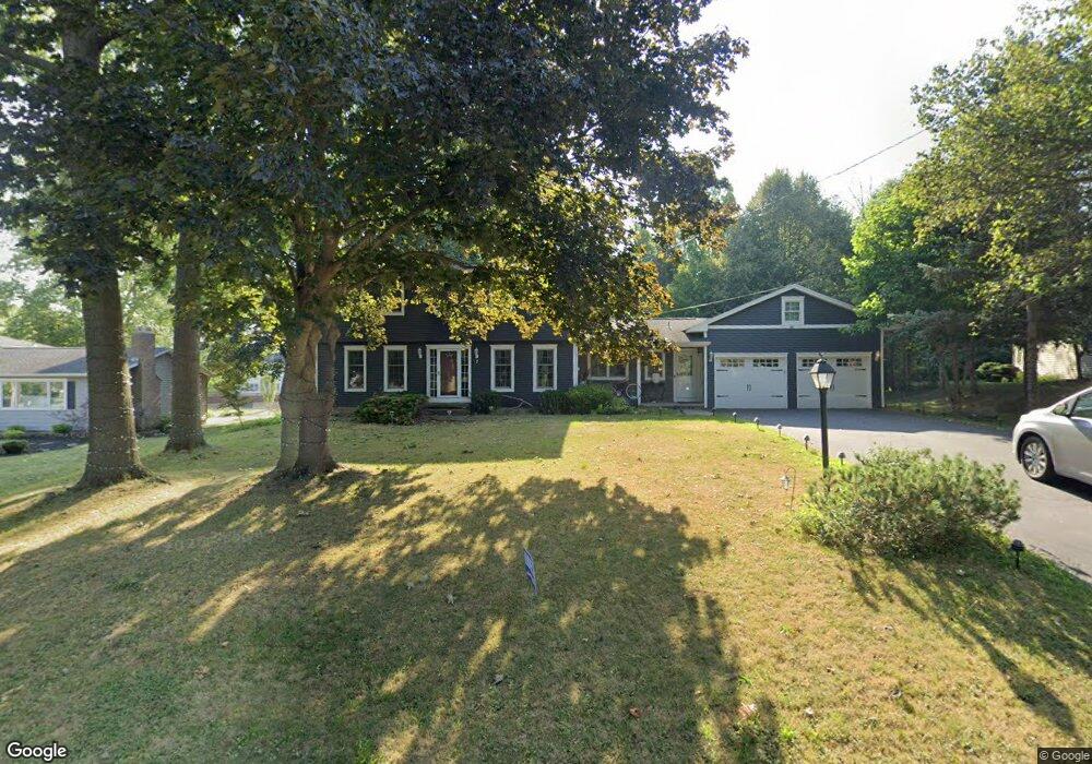
7 Keystone Ct Brockport, NY 14420
Estimated Value: $321,000 - $354,000
4
Beds
3
Baths
2,496
Sq Ft
$135/Sq Ft
Est. Value
About This Home
This home is located at 7 Keystone Ct, Brockport, NY 14420 and is currently estimated at $336,761, approximately $134 per square foot. 7 Keystone Ct is a home located in Monroe County with nearby schools including Ginther Elementary School, Fred W. Hill Elementary School, and Barclay Elementary School.
Ownership History
Date
Name
Owned For
Owner Type
Purchase Details
Closed on
Mar 7, 2007
Sold by
Rojas Victor
Bought by
Cebula Erin
Current Estimated Value
Home Financials for this Owner
Home Financials are based on the most recent Mortgage that was taken out on this home.
Original Mortgage
$120,000
Outstanding Balance
$72,793
Interest Rate
6.3%
Mortgage Type
New Conventional
Estimated Equity
$263,968
Purchase Details
Closed on
Sep 25, 2006
Sold by
Rojas Victor
Bought by
Rojas Victor
Purchase Details
Closed on
Mar 25, 1996
Sold by
Petersen Ingo H
Bought by
Rojas Victor J and Hall Linda A
Create a Home Valuation Report for This Property
The Home Valuation Report is an in-depth analysis detailing your home's value as well as a comparison with similar homes in the area
Home Values in the Area
Average Home Value in this Area
Purchase History
| Date | Buyer | Sale Price | Title Company |
|---|---|---|---|
| Cebula Erin | $160,000 | Nathan Lyman | |
| Rojas Victor | -- | Koldin Law Center | |
| Rojas Victor J | $129,000 | -- |
Source: Public Records
Mortgage History
| Date | Status | Borrower | Loan Amount |
|---|---|---|---|
| Open | Cebula Erin | $120,000 |
Source: Public Records
Tax History Compared to Growth
Tax History
| Year | Tax Paid | Tax Assessment Tax Assessment Total Assessment is a certain percentage of the fair market value that is determined by local assessors to be the total taxable value of land and additions on the property. | Land | Improvement |
|---|---|---|---|---|
| 2024 | $7,222 | $282,600 | $32,300 | $250,300 |
| 2023 | $6,980 | $227,900 | $29,500 | $198,400 |
| 2022 | $7,064 | $227,900 | $29,500 | $198,400 |
| 2021 | $7,062 | $190,000 | $29,500 | $160,500 |
| 2020 | $6,371 | $190,000 | $29,500 | $160,500 |
| 2019 | $5,903 | $169,800 | $29,500 | $140,300 |
| 2018 | $6,010 | $169,800 | $29,500 | $140,300 |
| 2017 | $3,258 | $163,200 | $29,500 | $133,700 |
| 2016 | $5,903 | $163,200 | $29,500 | $133,700 |
| 2015 | -- | $163,200 | $29,500 | $133,700 |
| 2014 | -- | $163,200 | $29,500 | $133,700 |
Source: Public Records
Map
Nearby Homes
- 21 Tudor Rd
- 0 Sweden Walker Rd Unit R1289251
- 0 Sweden Walker Rd Unit R1286894
- 0 Sweden Walker Rd Unit R1286906
- 31 Fairview Dr
- 79 Crestview Dr
- 69 Fair St
- 45 Chappell St
- 6151 Brockport Spencerport Rd
- 51 College St
- 77 State St
- 77 Talamora Trail
- 0 Lake Rd Unit R1632132
- 00 Lake Rd
- 0 Lake Unit R1622987
- 78 Erie St
- 28 Utica St
- 43/45 Fayette St
- 77 Barry St
- 171 Erie St