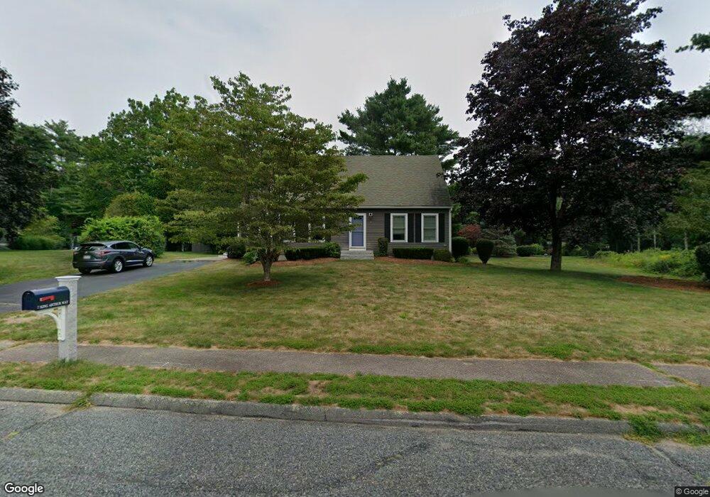
7 King Arthur Way Mansfield, MA 02048
Estimated Value: $658,988 - $799,000
3
Beds
2
Baths
1,738
Sq Ft
$416/Sq Ft
Est. Value
About This Home
This home is located at 7 King Arthur Way, Mansfield, MA 02048 and is currently estimated at $722,497, approximately $415 per square foot. 7 King Arthur Way is a home located in Bristol County with nearby schools including Everett W. Robinson Elementary School, Jordan/Jackson Elementary School, and Harold L. Qualters Middle School.
Ownership History
Date
Name
Owned For
Owner Type
Purchase Details
Closed on
Apr 25, 2000
Sold by
Seyboth Frank K
Bought by
Mcbride Kevin J and Mcbride Eileen
Current Estimated Value
Home Financials for this Owner
Home Financials are based on the most recent Mortgage that was taken out on this home.
Original Mortgage
$199,750
Interest Rate
8.21%
Mortgage Type
Purchase Money Mortgage
Purchase Details
Closed on
Apr 25, 1997
Sold by
Duquette Julia
Bought by
Seyboth Frank K
Purchase Details
Closed on
Apr 18, 1996
Sold by
Mclellan Steven W
Bought by
Duquette Julia
Purchase Details
Closed on
Jan 26, 1989
Sold by
Marked Tree Entrp
Bought by
Mclellan Steven W
Create a Home Valuation Report for This Property
The Home Valuation Report is an in-depth analysis detailing your home's value as well as a comparison with similar homes in the area
Home Values in the Area
Average Home Value in this Area
Purchase History
| Date | Buyer | Sale Price | Title Company |
|---|---|---|---|
| Mcbride Kevin J | $235,000 | -- | |
| Seyboth Frank K | $173,500 | -- | |
| Duquette Julia | $190,000 | -- | |
| Mclellan Steven W | $164,000 | -- |
Source: Public Records
Mortgage History
| Date | Status | Borrower | Loan Amount |
|---|---|---|---|
| Open | Mclellan Steven W | $257,500 | |
| Closed | Mclellan Steven W | $197,000 | |
| Closed | Mclellan Steven W | $199,750 |
Source: Public Records
Tax History Compared to Growth
Tax History
| Year | Tax Paid | Tax Assessment Tax Assessment Total Assessment is a certain percentage of the fair market value that is determined by local assessors to be the total taxable value of land and additions on the property. | Land | Improvement |
|---|---|---|---|---|
| 2025 | $7,519 | $570,900 | $278,300 | $292,600 |
| 2024 | $7,969 | $590,300 | $290,400 | $299,900 |
| 2023 | $7,919 | $562,000 | $290,400 | $271,600 |
| 2022 | $7,652 | $504,400 | $268,800 | $235,600 |
| 2021 | $4,864 | $467,100 | $224,100 | $243,000 |
| 2020 | $4,903 | $448,900 | $224,100 | $224,800 |
| 2019 | $6,293 | $413,500 | $186,600 | $226,900 |
| 2018 | $3,315 | $398,800 | $178,000 | $220,800 |
| 2017 | $3,381 | $373,500 | $172,900 | $200,600 |
| 2016 | $5,222 | $338,900 | $164,600 | $174,300 |
| 2015 | $5,194 | $335,100 | $164,600 | $170,500 |
Source: Public Records
Map
Nearby Homes
- 111 Williams St
- 11 King Arthur Way
- 97 Williams St
- 92 Williams St
- 96 Williams St
- 88 Williams St
- 15 King Arthur Way
- 84 Williams St
- 98 Williams St
- 10 King Arthur Way
- 99 Williams St
- 14 King Arthur Way
- 80 Williams St
- 100 Williams St
- 18 King Arthur Way
- 89 Williams St
- 224 Tremont St
- 19 King Arthur Way
- 22 King Arthur Way
- 140 Williams St