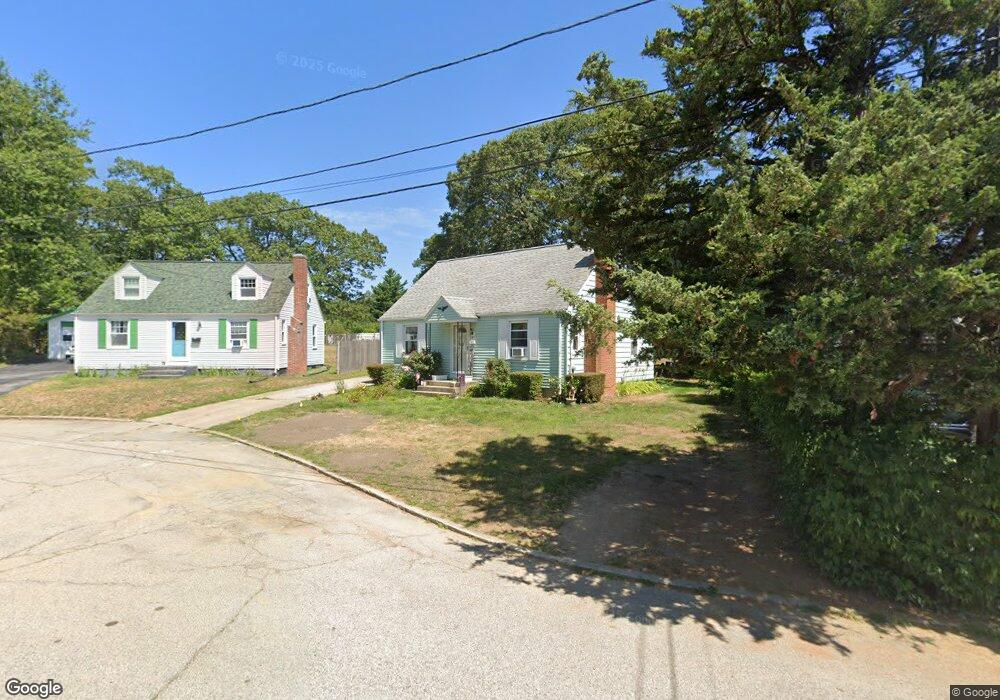
7 King Phillip Cir North Kingstown, RI 02852
Davisville NeighborhoodEstimated Value: $501,000 - $511,000
3
Beds
2
Baths
1,472
Sq Ft
$342/Sq Ft
Est. Value
About This Home
This home is located at 7 King Phillip Cir, North Kingstown, RI 02852 and is currently estimated at $503,667, approximately $342 per square foot. 7 King Phillip Cir is a home located in Washington County with nearby schools including Suzanne M. Henseler Quidnessett Elementary School, Davisville Middle School, and North Kingstown Sr. High School.
Ownership History
Date
Name
Owned For
Owner Type
Purchase Details
Closed on
Nov 17, 2005
Sold by
Ward Jeanette
Bought by
Tolo Llc
Current Estimated Value
Purchase Details
Closed on
Sep 10, 1993
Sold by
Brown Warren R and Brown Josephine
Bought by
Brandes Barry A and Brandes Barbara
Home Financials for this Owner
Home Financials are based on the most recent Mortgage that was taken out on this home.
Original Mortgage
$70,800
Interest Rate
7.21%
Purchase Details
Closed on
May 10, 1993
Sold by
Commercial Credit Corp
Bought by
Brown Warren R and Brown Josephine
Home Financials for this Owner
Home Financials are based on the most recent Mortgage that was taken out on this home.
Original Mortgage
$35,000
Interest Rate
7.47%
Create a Home Valuation Report for This Property
The Home Valuation Report is an in-depth analysis detailing your home's value as well as a comparison with similar homes in the area
Home Values in the Area
Average Home Value in this Area
Purchase History
| Date | Buyer | Sale Price | Title Company |
|---|---|---|---|
| Tolo Llc | $400,000 | -- | |
| Brandes Barry A | $88,500 | -- | |
| Brown Warren R | $50,000 | -- |
Source: Public Records
Mortgage History
| Date | Status | Borrower | Loan Amount |
|---|---|---|---|
| Previous Owner | Brown Warren R | $70,800 | |
| Previous Owner | Brown Warren R | $35,000 |
Source: Public Records
Tax History Compared to Growth
Tax History
| Year | Tax Paid | Tax Assessment Tax Assessment Total Assessment is a certain percentage of the fair market value that is determined by local assessors to be the total taxable value of land and additions on the property. | Land | Improvement |
|---|---|---|---|---|
| 2025 | $4,588 | $415,600 | $175,200 | $240,400 |
| 2024 | $4,944 | $344,800 | $144,400 | $200,400 |
| 2023 | $4,944 | $344,800 | $144,400 | $200,400 |
| 2022 | $4,848 | $344,800 | $144,400 | $200,400 |
| 2021 | $4,461 | $254,900 | $88,800 | $166,100 |
| 2020 | $4,356 | $254,900 | $88,800 | $166,100 |
| 2019 | $4,356 | $254,900 | $88,800 | $166,100 |
| 2018 | $4,071 | $214,600 | $85,500 | $129,100 |
| 2017 | $3,989 | $214,600 | $85,500 | $129,100 |
| 2016 | $3,876 | $214,600 | $85,500 | $129,100 |
| 2015 | $3,856 | $199,800 | $85,500 | $114,300 |
| 2014 | $3,778 | $199,800 | $85,500 | $114,300 |
Source: Public Records
Map
Nearby Homes
- 21 Lake Dr
- 15 East Ct
- 85 Sachem Rd
- 11 Krzak Rd
- 5 Krzak Rd
- 60 Saw Mill Dr Unit 307
- 60 Saw Mill Dr Unit 308
- 45 Saw Mill Dr Unit 205
- 509 School St
- 135 Greenmeadow Cir
- 109 Chadsey Rd
- 20 Saw Mill Dr Unit 103
- 86 Hancock Dr
- 55 Dahlia Dr
- 590 Davisville Rd
- 99 Peachtree Rd
- 186 Heritage Rd
- 211 Old Baptist Rd
- 233 Old Baptist Rd
- 26 Hunts River Dr
- 11 King Phillip Cir
- 220 Sachem Rd
- 230 Sachem Rd
- 238 Sachem Rd
- 260 Sachem Rd
- 19 King Phillip Cir
- 244 Sachem Rd
- 212 Sachem Rd
- 10 King Phillip Cir
- 221 Sachem Rd
- 250 Sachem Rd
- 250 Sachem Lot#5 Rd
- 250 Sachem Lot #1 Rd
- 250 Sachem Lot #6 Rd
- 250 Sachem Lot 11 Rd
- 14 King Phillip Cir
- 20 King Phillip Cir
- 208 Sachem Rd
- 151 King Phillip Dr
- 239 Sachem Rd