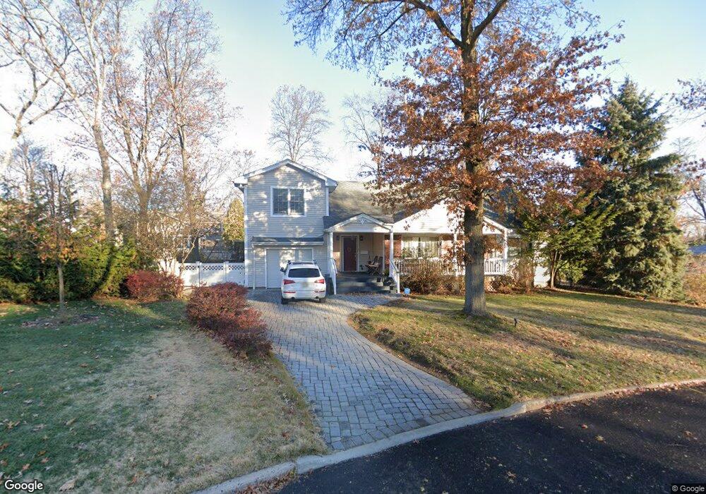
7 Laurel Rd Demarest, NJ 07627
Estimated Value: $1,159,792 - $1,343,000
Studio
--
Bath
2,663
Sq Ft
$463/Sq Ft
Est. Value
About This Home
This home is located at 7 Laurel Rd, Demarest, NJ 07627 and is currently estimated at $1,232,448, approximately $462 per square foot. 7 Laurel Rd is a home located in Bergen County with nearby schools including County Road Elementary School, Luther Lee Emerson Elementary School, and Demarest Middle School.
Ownership History
Date
Name
Owned For
Owner Type
Purchase Details
Closed on
Jun 27, 2008
Sold by
Foley Edward C and Foley Rebecca R
Bought by
Farrage David P and Wan Siu Wan Lauren
Current Estimated Value
Home Financials for this Owner
Home Financials are based on the most recent Mortgage that was taken out on this home.
Original Mortgage
$417,000
Outstanding Balance
$269,836
Interest Rate
6.13%
Mortgage Type
New Conventional
Estimated Equity
$962,612
Purchase Details
Closed on
May 25, 1999
Sold by
Stephen Virginia
Bought by
Foley Edward C and Foley Rebecca R
Home Financials for this Owner
Home Financials are based on the most recent Mortgage that was taken out on this home.
Original Mortgage
$196,000
Interest Rate
6.85%
Mortgage Type
Purchase Money Mortgage
Create a Home Valuation Report for This Property
The Home Valuation Report is an in-depth analysis detailing your home's value as well as a comparison with similar homes in the area
Home Values in the Area
Average Home Value in this Area
Purchase History
| Date | Buyer | Sale Price | Title Company |
|---|---|---|---|
| Farrage David P | $685,000 | -- | |
| Foley Edward C | $245,000 | Chicago Title Insurance Co |
Source: Public Records
Mortgage History
| Date | Status | Borrower | Loan Amount |
|---|---|---|---|
| Open | Farrage David P | $417,000 | |
| Previous Owner | Foley Edward C | $196,000 |
Source: Public Records
Tax History
| Year | Tax Paid | Tax Assessment Tax Assessment Total Assessment is a certain percentage of the fair market value that is determined by local assessors to be the total taxable value of land and additions on the property. | Land | Improvement |
|---|---|---|---|---|
| 2025 | $15,358 | $983,100 | $560,900 | $422,200 |
| 2024 | $14,660 | $502,400 | $294,700 | $207,700 |
| 2023 | $14,263 | $502,400 | $294,700 | $207,700 |
| 2022 | $14,263 | $502,400 | $294,700 | $207,700 |
| 2021 | $13,911 | $502,400 | $294,700 | $207,700 |
| 2020 | $13,585 | $502,400 | $294,700 | $207,700 |
| 2019 | $13,193 | $502,400 | $294,700 | $207,700 |
| 2018 | $12,786 | $502,400 | $294,700 | $207,700 |
| 2017 | $12,480 | $502,400 | $294,700 | $207,700 |
| 2016 | $12,284 | $502,400 | $294,700 | $207,700 |
| 2015 | $12,118 | $502,400 | $294,700 | $207,700 |
| 2014 | $11,857 | $502,400 | $294,700 | $207,700 |
Source: Public Records
Map
Nearby Homes
- 39 Drury Ln
- 31 Madison Ave
- 15 Pleasant St
- 106 Prescott St
- 116 Lexington Ave
- 42 Lenox Ave
- 232 County Rd
- 112 Oxford Place
- 226 Haworth Ave
- 7 Overlook Dr
- 126 Grant Ave
- 3 Central Ave
- 7 Central Ave
- 22 Northwood Ave
- 25 Maple Ave
- 65 Prospect Ave
- 41 Orchard Rd
- 589 Piermont Rd
- 11 Stone Bridge Ct
- 24 Stone Bridge Ct
Your Personal Tour Guide
Ask me questions while you tour the home.