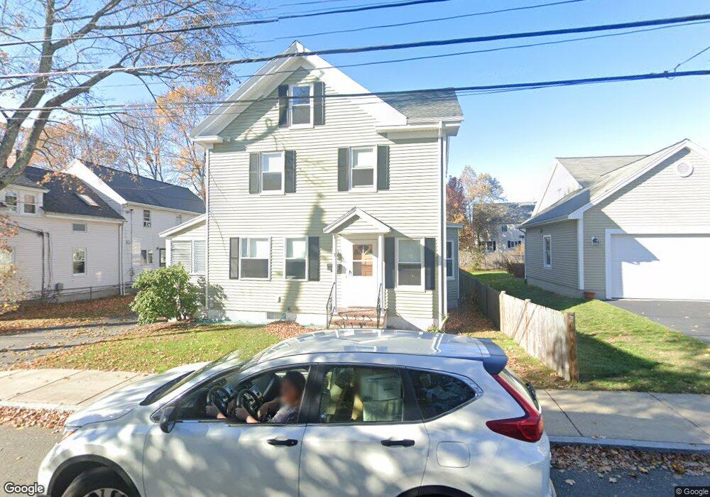
7 Lawrence St Woburn, MA 01801
Downtown Woburn NeighborhoodEstimated Value: $790,678 - $1,001,000
4
Beds
3
Baths
2,380
Sq Ft
$388/Sq Ft
Est. Value
About This Home
This home is located at 7 Lawrence St, Woburn, MA 01801 and is currently estimated at $923,920, approximately $388 per square foot. 7 Lawrence St is a home located in Middlesex County with nearby schools including Malcolm White Elementary School, Daniel L. Joyce Middle School, and Woburn High School.
Ownership History
Date
Name
Owned For
Owner Type
Purchase Details
Closed on
Oct 31, 1991
Sold by
Donaghey William J and Donaghey Judy A
Bought by
Fay Thomas J and Fay Kelly A
Current Estimated Value
Home Financials for this Owner
Home Financials are based on the most recent Mortgage that was taken out on this home.
Original Mortgage
$146,700
Interest Rate
8.9%
Mortgage Type
Purchase Money Mortgage
Create a Home Valuation Report for This Property
The Home Valuation Report is an in-depth analysis detailing your home's value as well as a comparison with similar homes in the area
Home Values in the Area
Average Home Value in this Area
Purchase History
| Date | Buyer | Sale Price | Title Company |
|---|---|---|---|
| Fay Thomas J | $163,000 | -- |
Source: Public Records
Mortgage History
| Date | Status | Borrower | Loan Amount |
|---|---|---|---|
| Open | Fay Thomas J | $141,450 | |
| Closed | Fay Thomas J | $126,562 | |
| Closed | Fay Thomas J | $146,700 | |
| Previous Owner | Fay Thomas J | $90,000 |
Source: Public Records
Tax History Compared to Growth
Tax History
| Year | Tax Paid | Tax Assessment Tax Assessment Total Assessment is a certain percentage of the fair market value that is determined by local assessors to be the total taxable value of land and additions on the property. | Land | Improvement |
|---|---|---|---|---|
| 2025 | $6,098 | $714,000 | $344,800 | $369,200 |
| 2024 | $5,426 | $673,200 | $328,400 | $344,800 |
| 2023 | $5,470 | $628,700 | $298,600 | $330,100 |
| 2022 | $5,264 | $563,600 | $259,600 | $304,000 |
| 2021 | $4,839 | $518,600 | $247,200 | $271,400 |
| 2020 | $4,818 | $517,000 | $247,200 | $269,800 |
| 2019 | $4,766 | $501,700 | $235,500 | $266,200 |
| 2018 | $4,474 | $452,400 | $216,000 | $236,400 |
| 2017 | $3,986 | $401,000 | $205,800 | $195,200 |
| 2016 | $3,653 | $363,500 | $192,300 | $171,200 |
| 2015 | $3,536 | $347,700 | $179,700 | $168,000 |
| 2014 | $3,448 | $330,300 | $179,700 | $150,600 |
Source: Public Records
Map
Nearby Homes
- 15 Sturgis St
- 29 Arlington Rd Unit 4
- 27 Arlington Rd Unit 1-6
- 31 Arlington Rd Unit 1-6
- 18 Beacon St Unit 18
- 35 Prospect St Unit 215
- 35 Prospect St Unit 204
- 52 Pleasant St
- 7 Prospect St
- 14 Ash St
- 39 Garfield Ave
- 61 Mount Pleasant St
- 64 Garfield Ave
- 34 Union St
- 44 Main St
- 69 Eastern Ave
- 477 Main St
- 62 Jefferson Ave
- 11 Hovey St
- 21 Franklin St
- 9 Lawrence St Unit 1
- 9 Lawrence St
- 9 Lawrence St Unit 2
- 3 Lawrence St
- 10 Sturgis St
- 11 Lawrence St
- 8 Sturgis St
- Lot 2 Salem
- 6 Lawrence St
- 14 Sturgis St
- 8 Lawrence St
- 13 Lawrence St
- 2 Lawrence St
- 0000 Confidential Rd
- 39 Warren Ave
- 16 Sturgis St
- 37 Warren Ave
- 12 Lawrence St Unit 2
- 12 Lawrence St Unit 1
- 12 Lawrence St