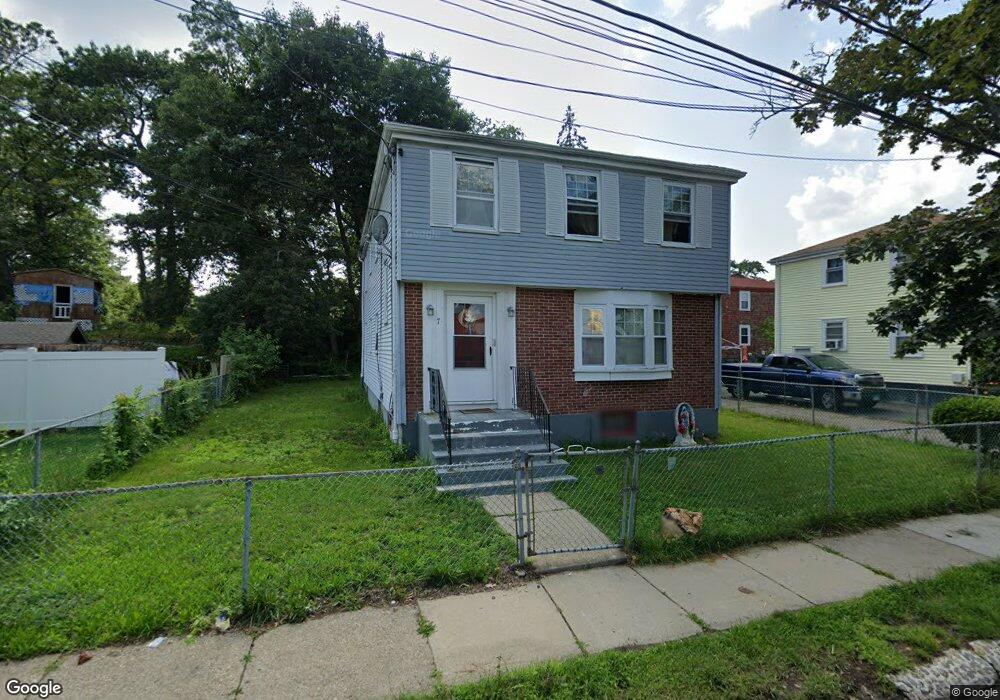
7 Leahaven Rd Mattapan, MA 02126
Southern Mattapan NeighborhoodEstimated Value: $658,000 - $884,000
4
Beds
2
Baths
1,992
Sq Ft
$388/Sq Ft
Est. Value
About This Home
This home is located at 7 Leahaven Rd, Mattapan, MA 02126 and is currently estimated at $772,383, approximately $387 per square foot. 7 Leahaven Rd is a home located in Suffolk County with nearby schools including KIPP Academy Boston Charter School, Berea Seventh-day Adventist Academy, and Saint John Paul II Catholic Academy.
Ownership History
Date
Name
Owned For
Owner Type
Purchase Details
Closed on
Dec 17, 2021
Sold by
Vatel Marie M and Vatel Emmanuel Y
Bought by
Vatel Ft
Current Estimated Value
Purchase Details
Closed on
Jul 13, 1990
Sold by
Pierre Cornelia M
Bought by
Vatel Emmanuel Y
Create a Home Valuation Report for This Property
The Home Valuation Report is an in-depth analysis detailing your home's value as well as a comparison with similar homes in the area
Home Values in the Area
Average Home Value in this Area
Purchase History
| Date | Buyer | Sale Price | Title Company |
|---|---|---|---|
| Vatel Ft | -- | None Available | |
| Vatel Emmanuel Y | $174,000 | -- |
Source: Public Records
Mortgage History
| Date | Status | Borrower | Loan Amount |
|---|---|---|---|
| Previous Owner | Vatel Emmanuel Y | $158,750 | |
| Previous Owner | Vatel Emmanuel Y | $22,000 | |
| Previous Owner | Vatel Emmanuel Y | $139,200 |
Source: Public Records
Tax History Compared to Growth
Tax History
| Year | Tax Paid | Tax Assessment Tax Assessment Total Assessment is a certain percentage of the fair market value that is determined by local assessors to be the total taxable value of land and additions on the property. | Land | Improvement |
|---|---|---|---|---|
| 2025 | $7,357 | $635,300 | $253,400 | $381,900 |
| 2024 | $6,507 | $597,000 | $235,600 | $361,400 |
| 2023 | $5,936 | $552,700 | $218,100 | $334,600 |
| 2022 | $6,013 | $552,700 | $218,100 | $334,600 |
| 2021 | $5,564 | $521,500 | $205,800 | $315,700 |
| 2020 | $4,700 | $445,100 | $190,600 | $254,500 |
| 2019 | $4,188 | $397,300 | $144,200 | $253,100 |
| 2018 | $3,927 | $374,700 | $144,200 | $230,500 |
| 2017 | $3,816 | $360,300 | $144,200 | $216,100 |
| 2016 | $3,704 | $336,700 | $144,200 | $192,500 |
| 2015 | $3,599 | $297,200 | $148,500 | $148,700 |
| 2014 | $3,337 | $265,300 | $148,500 | $116,800 |
Source: Public Records
Map
Nearby Homes
- 10 Briarcliff Terrace
- 24 Constitution Rd
- 333 Eliot St
- 15 Cantwell Rd
- 32 Violet St
- 67 Idaho St
- 32 Columbine Rd
- 30 Glenhill Rd
- 11 French St
- 23 Maryknoll St
- 4 Crossman St Unit 4
- 157 Delhi St
- 131 Eliot St Unit 312
- 131 Eliot St Unit 408
- 131 Eliot St Unit 305
- 4 School St
- 8-14R Temple St
- 32-32R Temple St
- 1465 Blue Hill Ave
- 27 Hawthorn Rd
- 11 Leahaven Rd
- 280 River St
- 3 Leahaven Rd
- 284 River St
- 15 Leahaven Rd
- 288 River St
- 2 Leahaven Rd
- 10 Ledgebrook Rd
- 6 Leahaven Rd
- 10 Leahaven Rd
- 19 Leahaven Rd
- 14 Ledgebrook Rd
- 6 Ledgebrook Rd
- 6 Ledgebrook Rd Unit 2
- 14 Leahaven Rd
- 260 River St
- 24 Ledgebrook Rd
- 2-4 Ledgebrook Rd
- 2-4 Ledgebrook Rd Unit 2
- 18 Ledgebrook Rd