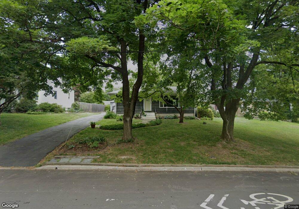
7 Leavitt Ln Princeton, NJ 08540
Estimated Value: $836,547 - $1,014,000
3
Beds
1
Bath
1,160
Sq Ft
$783/Sq Ft
Est. Value
About This Home
This home is located at 7 Leavitt Ln, Princeton, NJ 08540 and is currently estimated at $908,637, approximately $783 per square foot. 7 Leavitt Ln is a home located in Mercer County with nearby schools including Littlebrook Elementary School, Princeton Middle School, and Princeton High School.
Ownership History
Date
Name
Owned For
Owner Type
Purchase Details
Closed on
Nov 23, 2010
Sold by
Rhubart John H and Crossley Marcia L
Bought by
Dean Joyce W
Current Estimated Value
Home Financials for this Owner
Home Financials are based on the most recent Mortgage that was taken out on this home.
Original Mortgage
$273,500
Outstanding Balance
$179,991
Interest Rate
4.22%
Mortgage Type
New Conventional
Estimated Equity
$728,646
Purchase Details
Closed on
Aug 6, 2008
Sold by
Rhubart John H and Rhubart Catharine E
Bought by
Rhubart Catharine E
Create a Home Valuation Report for This Property
The Home Valuation Report is an in-depth analysis detailing your home's value as well as a comparison with similar homes in the area
Home Values in the Area
Average Home Value in this Area
Purchase History
| Date | Buyer | Sale Price | Title Company |
|---|---|---|---|
| Dean Joyce W | $455,000 | Commonwealth Land Title Insu | |
| Rhubart Catharine E | -- | -- |
Source: Public Records
Mortgage History
| Date | Status | Borrower | Loan Amount |
|---|---|---|---|
| Open | Dean Joyce W | $273,500 |
Source: Public Records
Tax History Compared to Growth
Tax History
| Year | Tax Paid | Tax Assessment Tax Assessment Total Assessment is a certain percentage of the fair market value that is determined by local assessors to be the total taxable value of land and additions on the property. | Land | Improvement |
|---|---|---|---|---|
| 2025 | $12,932 | $485,600 | $367,000 | $118,600 |
| 2024 | $12,208 | $485,600 | $367,000 | $118,600 |
| 2023 | $12,208 | $485,600 | $367,000 | $118,600 |
| 2022 | $11,810 | $485,600 | $367,000 | $118,600 |
| 2021 | $11,112 | $455,600 | $337,000 | $118,600 |
| 2020 | $11,026 | $455,600 | $337,000 | $118,600 |
| 2019 | $10,807 | $455,600 | $337,000 | $118,600 |
| 2018 | $10,625 | $455,600 | $337,000 | $118,600 |
| 2017 | $10,479 | $455,600 | $337,000 | $118,600 |
| 2016 | $9,715 | $429,100 | $312,000 | $117,100 |
| 2015 | $9,492 | $429,100 | $312,000 | $117,100 |
| 2014 | $9,376 | $429,100 | $312,000 | $117,100 |
Source: Public Records
Map
Nearby Homes
- 428 Nassau St
- 75 Clover Ln
- 380 Franklin Ave
- 22 Gordon Way
- 16 Cameron Ct
- 532 Kingston Rd
- 1 Markham Rd Unit 2C
- 1 Markham Rd Unit 1D
- 67 Locust Ln
- 56 Patton Ave
- 567 Riverside Dr
- 569 Riverside Dr
- 17 Aiken Ave
- 50 Broadripple Dr
- 150 Leabrook Ln
- 201 Grover Ave
- 57 Moran Ave
- 189 Moore St
- 36 Moore St Unit 6
- 261 Moore St