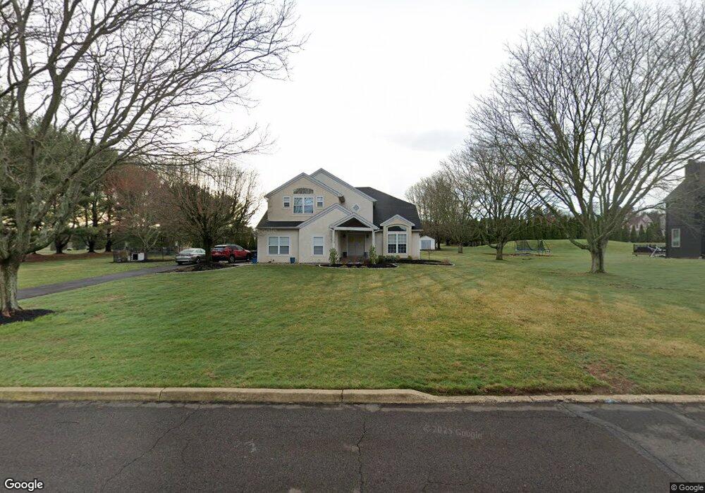
7 Lincoln Cir Warminster, PA 18974
Estimated Value: $965,422 - $1,023,000
4
Beds
3
Baths
3,409
Sq Ft
$292/Sq Ft
Est. Value
About This Home
This home is located at 7 Lincoln Cir, Warminster, PA 18974 and is currently estimated at $995,106, approximately $291 per square foot. 7 Lincoln Cir is a home located in Bucks County with nearby schools including Maureen M. Welch Elementary School, Richboro Middle School, and Council Rock High School - South.
Ownership History
Date
Name
Owned For
Owner Type
Purchase Details
Closed on
Nov 26, 2002
Sold by
Savory Robert D and Savory Jill A
Bought by
Jeronis Michael E and Jeronis Margaret A
Current Estimated Value
Home Financials for this Owner
Home Financials are based on the most recent Mortgage that was taken out on this home.
Original Mortgage
$351,900
Outstanding Balance
$152,244
Interest Rate
6.34%
Estimated Equity
$842,862
Purchase Details
Closed on
Apr 20, 1999
Sold by
Yorkfield Construction Co Inc
Bought by
Savory Robert D and Savory Jill A
Home Financials for this Owner
Home Financials are based on the most recent Mortgage that was taken out on this home.
Original Mortgage
$240,000
Interest Rate
6.95%
Create a Home Valuation Report for This Property
The Home Valuation Report is an in-depth analysis detailing your home's value as well as a comparison with similar homes in the area
Home Values in the Area
Average Home Value in this Area
Purchase History
| Date | Buyer | Sale Price | Title Company |
|---|---|---|---|
| Jeronis Michael E | $439,900 | -- | |
| Savory Robert D | $270,000 | -- |
Source: Public Records
Mortgage History
| Date | Status | Borrower | Loan Amount |
|---|---|---|---|
| Open | Jeronis Michael E | $351,900 | |
| Previous Owner | Savory Robert D | $240,000 | |
| Closed | Jeronis Michael E | $43,990 |
Source: Public Records
Tax History
| Year | Tax Paid | Tax Assessment Tax Assessment Total Assessment is a certain percentage of the fair market value that is determined by local assessors to be the total taxable value of land and additions on the property. | Land | Improvement |
|---|---|---|---|---|
| 2025 | $10,790 | $56,020 | $11,520 | $44,500 |
| 2024 | $10,790 | $56,020 | $11,520 | $44,500 |
| 2023 | $10,169 | $56,020 | $11,520 | $44,500 |
| 2022 | $10,076 | $56,020 | $11,520 | $44,500 |
| 2021 | $9,757 | $56,020 | $11,520 | $44,500 |
| 2020 | $9,538 | $56,020 | $11,520 | $44,500 |
| 2019 | $9,129 | $56,020 | $11,520 | $44,500 |
| 2018 | $8,967 | $56,020 | $11,520 | $44,500 |
| 2017 | $8,621 | $56,020 | $11,520 | $44,500 |
| 2016 | $8,621 | $56,020 | $11,520 | $44,500 |
| 2015 | -- | $56,020 | $11,520 | $44,500 |
| 2014 | -- | $56,020 | $11,520 | $44,500 |
Source: Public Records
Map
Nearby Homes
- 1280 Grenoble Rd Unit B
- 920 Nathaniel Trail
- 931 Nathaniel Trail
- 9 Spring Dr
- 11 Spring Dr
- 25 Creekside Dr
- 15 Spring Mill Dr
- 12 Spring Mill Dr
- 21 Spring Mill Dr
- 304 Julian Dr E
- 1107 Maxwell Manor
- 55 Parry Way
- 105 Silver Oak Ct
- 44 Parry Way
- 86 Parry Way
- 104 Shannon Ct
- 716 W Bristol Rd
- 636 Almshouse Rd
- 1390 Old Jacksonville Rd
- 2423 April Dr
Your Personal Tour Guide
Ask me questions while you tour the home.