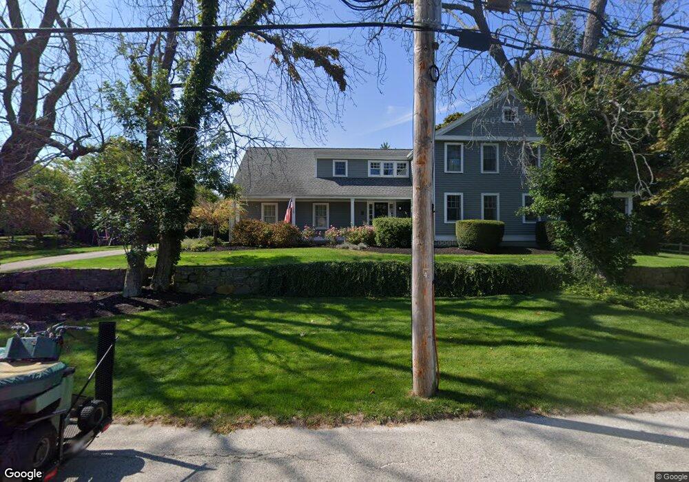
7 Linden Dr Cohasset, MA 02025
Estimated Value: $1,841,405 - $2,464,000
4
Beds
3
Baths
3,485
Sq Ft
$628/Sq Ft
Est. Value
About This Home
This home is located at 7 Linden Dr, Cohasset, MA 02025 and is currently estimated at $2,190,101, approximately $628 per square foot. 7 Linden Dr is a home located in Norfolk County with nearby schools including Joseph Osgood School, Deer Hill School, and Cohasset Middle School.
Ownership History
Date
Name
Owned For
Owner Type
Purchase Details
Closed on
Jan 18, 2011
Sold by
Green Terry A and Green Dorothy
Bought by
Regan Bret C and Regan Nicole M
Current Estimated Value
Purchase Details
Closed on
Jun 30, 2000
Sold by
Morgenstern Arthur S and Morgenstern Lynn E
Bought by
Green Terry A and Green Dorothy
Purchase Details
Closed on
Dec 12, 1990
Sold by
Cuneo John R
Bought by
Morgenstern Arthur S
Create a Home Valuation Report for This Property
The Home Valuation Report is an in-depth analysis detailing your home's value as well as a comparison with similar homes in the area
Home Values in the Area
Average Home Value in this Area
Purchase History
| Date | Buyer | Sale Price | Title Company |
|---|---|---|---|
| Regan Bret C | $1,150,000 | -- | |
| Regan Bret C | $1,150,000 | -- | |
| Green Terry A | $785,000 | -- | |
| Morgenstern Arthur S | $500,000 | -- | |
| Morgenstern Arthur S | $500,000 | -- |
Source: Public Records
Mortgage History
| Date | Status | Borrower | Loan Amount |
|---|---|---|---|
| Open | Morgenstern Arthur S | $818,000 | |
| Closed | Morgenstern Arthur S | $95,000 |
Source: Public Records
Tax History Compared to Growth
Tax History
| Year | Tax Paid | Tax Assessment Tax Assessment Total Assessment is a certain percentage of the fair market value that is determined by local assessors to be the total taxable value of land and additions on the property. | Land | Improvement |
|---|---|---|---|---|
| 2025 | $17,079 | $1,474,900 | $857,300 | $617,600 |
| 2024 | $16,750 | $1,376,300 | $745,300 | $631,000 |
| 2023 | $16,124 | $1,366,400 | $745,400 | $621,000 |
| 2022 | $16,486 | $1,312,600 | $745,400 | $567,200 |
| 2021 | $16,626 | $1,275,000 | $745,400 | $529,600 |
| 2020 | $16,537 | $1,275,000 | $745,400 | $529,600 |
| 2019 | $16,448 | $1,275,000 | $745,400 | $529,600 |
| 2018 | $16,307 | $1,275,000 | $745,400 | $529,600 |
| 2017 | $16,781 | $1,284,900 | $745,300 | $539,600 |
| 2016 | $13,642 | $1,059,200 | $519,600 | $539,600 |
| 2015 | $13,750 | $1,081,800 | $542,200 | $539,600 |
| 2014 | $13,566 | $1,081,800 | $542,200 | $539,600 |
Source: Public Records
Map
Nearby Homes
- 577 Jerusalem Rd
- 247 Forest Ave
- 152 Forest Ave
- 45 Ocean Ledge Dr
- 10 Ocean Ledge Dr
- 101 Nichols Rd
- 29 Heather Dr
- 356 Atlantic Ave
- 6 Grace Dr
- 1 Gatehouse Ln Unit 1
- 321 Rockland St
- 6 State Park Rd Unit 2
- 296 N Main St
- 25 Oceanside Dr
- 62 Oceanside Dr
- 166 Hull St
- 506 N Main St
- 512 N Main St
- 146 N Main St Unit 146
- 4 Atherton Rd