7 Locust Ln Sandy Hook, CT 06482
Estimated Value: $336,044 - $412,000
2
Beds
3
Baths
1,232
Sq Ft
$303/Sq Ft
Est. Value
About This Home
This home is located at 7 Locust Ln, Sandy Hook, CT 06482 and is currently estimated at $373,261, approximately $302 per square foot. 7 Locust Ln is a home located in Fairfield County with nearby schools including Sandy Hook Elementary School, Reed Intermediate School, and Newtown Middle School.
Ownership History
Date
Name
Owned For
Owner Type
Purchase Details
Closed on
Apr 19, 2005
Sold by
Carroll Kelly
Bought by
Sorrentino Shori and Snellman Robert
Current Estimated Value
Purchase Details
Closed on
Dec 22, 1994
Sold by
Matthews Richard and Matthews Yvonne
Bought by
Carroll Kelly and Edouard Alain
Create a Home Valuation Report for This Property
The Home Valuation Report is an in-depth analysis detailing your home's value as well as a comparison with similar homes in the area
Home Values in the Area
Average Home Value in this Area
Purchase History
| Date | Buyer | Sale Price | Title Company |
|---|---|---|---|
| Sorrentino Shori | $274,900 | -- | |
| Sorrentino Shori | $274,900 | -- | |
| Carroll Kelly | $125,500 | -- | |
| Carroll Kelly | $125,500 | -- |
Source: Public Records
Mortgage History
| Date | Status | Borrower | Loan Amount |
|---|---|---|---|
| Open | Carroll Kelly | $162,000 | |
| Open | Carroll Kelly | $313,000 |
Source: Public Records
Tax History
| Year | Tax Paid | Tax Assessment Tax Assessment Total Assessment is a certain percentage of the fair market value that is determined by local assessors to be the total taxable value of land and additions on the property. | Land | Improvement |
|---|---|---|---|---|
| 2025 | $5,194 | $180,720 | $39,560 | $141,160 |
| 2024 | $4,874 | $180,720 | $39,560 | $141,160 |
| 2023 | $4,456 | $169,810 | $39,560 | $130,250 |
| 2022 | $2,940 | $84,800 | $38,820 | $45,980 |
| 2021 | $2,938 | $84,800 | $38,820 | $45,980 |
| 2020 | $2,948 | $84,800 | $38,820 | $45,980 |
| 2019 | $2,948 | $84,800 | $38,820 | $45,980 |
| 2018 | $2,904 | $84,800 | $38,820 | $45,980 |
| 2017 | $2,804 | $82,790 | $47,080 | $35,710 |
| 2016 | $2,782 | $82,790 | $47,080 | $35,710 |
| 2015 | $2,738 | $82,790 | $47,080 | $35,710 |
| 2014 | $2,758 | $82,790 | $47,080 | $35,710 |
Source: Public Records
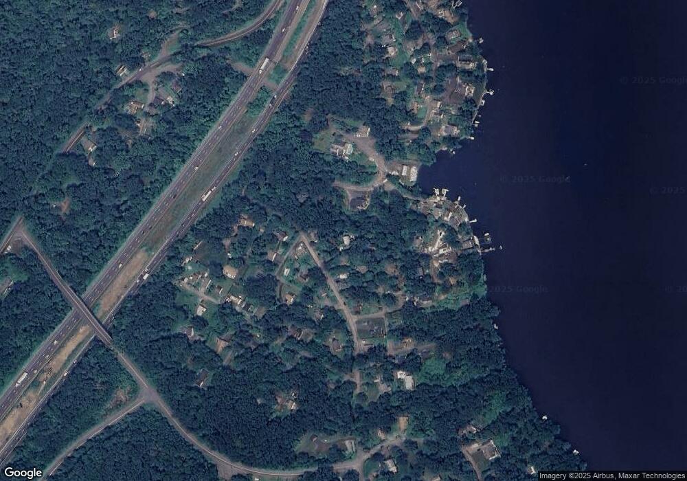
Map
Nearby Homes
- 89 Alpine Dr
- 22 Hemlock Trail
- 108 Riverside Rd
- 105 Lower Fish Rock Rd
- 41 Chipmunk Trail
- 105 Lake Ridge Rd
- 76 Lee Farm Dr
- 17 Buttonball Dr
- 16A Pole Bridge Rd
- 22 Misty Vale Rd
- 600 Berkshire Rd
- 30 Cedarhurst Trail
- 1 Owl Ridge Ln
- 3 Owl Ridge Ln
- 12 Skidmore Ln
- 412 Laurelwood Ln
- 7 Ford Rd
- 4 Sunnyview Terrace
- 4 Shady Rest Blvd
- 5 Shepaug Rd
- 15 Locust Ln
- 55 Alpine Dr
- 101 Alpine Dr
- 4 Cottonwood Trail
- 8 Bankside Trail
- 103 Alpine Dr
- 12 Bankside Trail
- 23 Locust Ln
- 107 Alpine Dr
- 3 Cottonwood Trail
- 69 Alpine Dr
- 80 Alpine Dr
- 18 Bankside Trail
- 86 Alpine Dr
- 27 Locust Ln
- 111 Alpine Dr
- 22 Bankside Trail
- 92 Alpine Dr
- 5 Cottonwood Trail
- 72 Alpine Dr
Your Personal Tour Guide
Ask me questions while you tour the home.