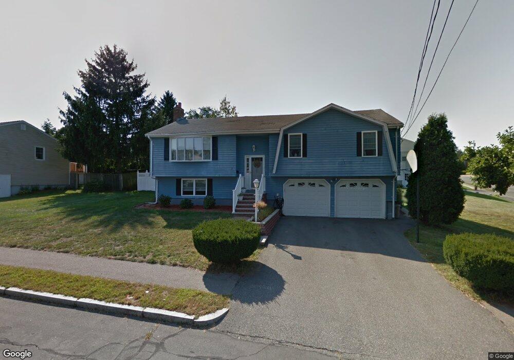
7 Longbow Rd Stoneham, MA 02180
Colonial Park NeighborhoodEstimated Value: $827,000 - $1,031,000
3
Beds
3
Baths
2,300
Sq Ft
$405/Sq Ft
Est. Value
About This Home
This home is located at 7 Longbow Rd, Stoneham, MA 02180 and is currently estimated at $932,101, approximately $405 per square foot. 7 Longbow Rd is a home located in Middlesex County with nearby schools including Stoneham High School, St Joseph School, and St. Patrick Elementary School.
Ownership History
Date
Name
Owned For
Owner Type
Purchase Details
Closed on
Aug 29, 2003
Sold by
Piaseczynski Rt and Piaseczynski Richard T
Bought by
Passatempo Robert A
Current Estimated Value
Home Financials for this Owner
Home Financials are based on the most recent Mortgage that was taken out on this home.
Original Mortgage
$290,000
Outstanding Balance
$129,422
Interest Rate
5.69%
Mortgage Type
Purchase Money Mortgage
Estimated Equity
$802,679
Create a Home Valuation Report for This Property
The Home Valuation Report is an in-depth analysis detailing your home's value as well as a comparison with similar homes in the area
Home Values in the Area
Average Home Value in this Area
Purchase History
| Date | Buyer | Sale Price | Title Company |
|---|---|---|---|
| Passatempo Robert A | $475,000 | -- |
Source: Public Records
Mortgage History
| Date | Status | Borrower | Loan Amount |
|---|---|---|---|
| Open | Passatempo Robert A | $290,000 |
Source: Public Records
Tax History
| Year | Tax Paid | Tax Assessment Tax Assessment Total Assessment is a certain percentage of the fair market value that is determined by local assessors to be the total taxable value of land and additions on the property. | Land | Improvement |
|---|---|---|---|---|
| 2025 | $7,155 | $699,400 | $401,200 | $298,200 |
| 2024 | $6,918 | $653,300 | $371,200 | $282,100 |
| 2023 | $6,765 | $609,500 | $341,200 | $268,300 |
| 2022 | $5,949 | $571,500 | $321,200 | $250,300 |
| 2021 | $0 | $537,000 | $301,200 | $235,800 |
| 2020 | $14,301 | $539,800 | $301,200 | $238,600 |
| 2019 | $13,601 | $582,200 | $311,200 | $271,000 |
| 2018 | $75 | $536,600 | $291,200 | $245,400 |
| 2017 | $6,138 | $495,400 | $281,200 | $214,200 |
| 2016 | $6,053 | $476,600 | $281,200 | $195,400 |
| 2015 | $5,857 | $451,900 | $271,200 | $180,700 |
| 2014 | $5,465 | $405,100 | $241,200 | $163,900 |
Source: Public Records
Map
Nearby Homes
- 3 Valley Rd
- 11 Valdora Dr
- 55 Bartley St
- 58 Washington St
- 4 Garfield Ave
- 51 Spring St
- 248 Albion St Unit 231
- 248 Albion St Unit 321
- 35 Tremont St
- 9 Lovis Ave
- 824 Main St Unit 1
- 12 Lovis Ave
- 62 High St Unit Lot 8
- 62 High St Unit 4
- 62 High St Unit Lot 5
- 62 High St Unit Lot 12
- 62 High St Unit 3
- 69 Foundry St Unit 310
- 69 Foundry St Unit 416
- 21 Tremont St Unit B
Your Personal Tour Guide
Ask me questions while you tour the home.