Estimated Value: $830,914 - $984,000
3
Beds
2
Baths
1,456
Sq Ft
$625/Sq Ft
Est. Value
About This Home
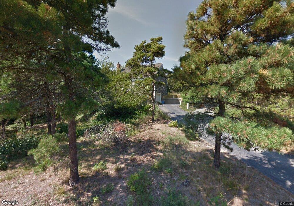
This home is located at 7 Longnook Ln, Truro, MA 02666 and is currently estimated at $910,479, approximately $625 per square foot. 7 Longnook Ln is a home with nearby schools including Truro Central School.
Ownership History
Date
Name
Owned For
Owner Type
Purchase Details
Closed on
May 15, 2002
Sold by
Clh Rt and Hayes Warren D
Bought by
Marsh Mary Anne
Current Estimated Value
Home Financials for this Owner
Home Financials are based on the most recent Mortgage that was taken out on this home.
Original Mortgage
$276,000
Outstanding Balance
$118,346
Interest Rate
7.15%
Mortgage Type
Purchase Money Mortgage
Estimated Equity
$792,133
Purchase Details
Closed on
May 21, 1992
Sold by
Wilson Leslie M and Wilson Valerie E
Bought by
Petkus Linda E and Lunn Pamela G
Create a Home Valuation Report for This Property
The Home Valuation Report is an in-depth analysis detailing your home's value as well as a comparison with similar homes in the area
Home Values in the Area
Average Home Value in this Area
Purchase History
| Date | Buyer | Sale Price | Title Company |
|---|---|---|---|
| Marsh Mary Anne | $345,000 | -- | |
| Petkus Linda E | $139,000 | -- |
Source: Public Records
Mortgage History
| Date | Status | Borrower | Loan Amount |
|---|---|---|---|
| Open | Petkus Linda E | $276,000 | |
| Closed | Petkus Linda E | $34,100 | |
| Previous Owner | Petkus Linda E | $182,000 | |
| Previous Owner | Petkus Linda E | $75,000 |
Source: Public Records
Tax History
| Year | Tax Paid | Tax Assessment Tax Assessment Total Assessment is a certain percentage of the fair market value that is determined by local assessors to be the total taxable value of land and additions on the property. | Land | Improvement |
|---|---|---|---|---|
| 2025 | $4,053 | $655,900 | $250,700 | $405,200 |
| 2024 | $3,833 | $639,900 | $248,200 | $391,700 |
| 2023 | $3,586 | $548,300 | $215,800 | $332,500 |
| 2022 | $3,334 | $431,300 | $186,100 | $245,200 |
| 2021 | $2,970 | $402,500 | $186,100 | $216,400 |
| 2020 | $2,921 | $398,500 | $184,200 | $214,300 |
| 2019 | $2,901 | $389,400 | $184,200 | $205,200 |
| 2018 | $2,728 | $370,200 | $184,200 | $186,000 |
| 2017 | $2,511 | $359,700 | $184,200 | $175,500 |
| 2016 | $2,383 | $352,000 | $182,400 | $169,600 |
| 2015 | $2,280 | $343,900 | $180,600 | $163,300 |
Source: Public Records
Map
Nearby Homes
- 2 Aldrich Rd
- 4 Resolution Rd
- 2 Resolution Rd
- 25 Resolution Rd
- 7 Great Hollow Rd Unit 50
- 7 Great Hollow Rd Unit 50
- 2 Meetinghouse Rd Unit 2
- 3 Bayberry Rd
- 63 Old Kings Hwy
- 52 Corn Hill Rd
- 7 Fishermans Rd
- 57 Old Kings Hwy
- 3 N Union Field Rd
- 34 Truro Center Rd
- 4 S Highland Rd Unit C
- 27 Fishermans Rd
- 23 Crestview Cir
- 32 Depot Rd
- 19 Old Bridge Rd
- 46 S Pamet Rd