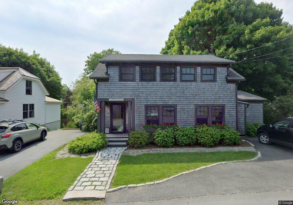
7 Lookout Way Mount Desert, ME 04660
Estimated Value: $820,000 - $907,000
2
Beds
1
Bath
943
Sq Ft
$908/Sq Ft
Est. Value
About This Home
This home is located at 7 Lookout Way, Mount Desert, ME 04660 and is currently estimated at $856,000, approximately $907 per square foot. 7 Lookout Way is a home located in Hancock County with nearby schools including Mt Desert Elementary School and Mt. Desert Island High School.
Ownership History
Date
Name
Owned For
Owner Type
Purchase Details
Closed on
Aug 10, 2011
Sold by
Heanssler Basil S
Bought by
Heath Nicole M and Haynes Thomas W
Current Estimated Value
Purchase Details
Closed on
May 4, 2010
Sold by
B Hopkins Peckham Ret and Peckham Brenda H
Bought by
Joseph Kate and Folger Robin W
Home Financials for this Owner
Home Financials are based on the most recent Mortgage that was taken out on this home.
Original Mortgage
$120,000
Interest Rate
4.99%
Mortgage Type
Purchase Money Mortgage
Create a Home Valuation Report for This Property
The Home Valuation Report is an in-depth analysis detailing your home's value as well as a comparison with similar homes in the area
Home Values in the Area
Average Home Value in this Area
Purchase History
| Date | Buyer | Sale Price | Title Company |
|---|---|---|---|
| Heath Nicole M | -- | -- | |
| Joseph Kate | -- | -- |
Source: Public Records
Mortgage History
| Date | Status | Borrower | Loan Amount |
|---|---|---|---|
| Previous Owner | Joseph Kate | $120,000 |
Source: Public Records
Tax History Compared to Growth
Tax History
| Year | Tax Paid | Tax Assessment Tax Assessment Total Assessment is a certain percentage of the fair market value that is determined by local assessors to be the total taxable value of land and additions on the property. | Land | Improvement |
|---|---|---|---|---|
| 2024 | $5,127 | $551,300 | $233,500 | $317,800 |
| 2023 | $4,468 | $512,400 | $194,600 | $317,800 |
| 2022 | $4,120 | $512,400 | $194,600 | $317,800 |
| 2021 | $3,103 | $376,100 | $220,500 | $155,600 |
| 2020 | $3,001 | $376,100 | $220,500 | $155,600 |
| 2019 | $2,990 | $376,100 | $220,500 | $155,600 |
| 2018 | $2,777 | $362,000 | $220,500 | $141,500 |
| 2017 | $2,525 | $340,300 | $220,500 | $119,800 |
| 2016 | $1,789 | $246,100 | $220,500 | $25,600 |
| 2015 | $1,750 | $246,100 | $220,500 | $25,600 |
| 2013 | $1,669 | $246,100 | $220,500 | $25,600 |
Source: Public Records
Map
Nearby Homes
- 49 Summit Rd
- 65 Summit Rd
- 6 Gilpatrick Ln
- 3 and 5 Graves Lane Harbor NE
- 16 Millbrook-Northeast Harbor Rd
- 30 Neighborhood Rd
- 6 Sea St
- 77 Manchester Rd
- 87 Peabody Drive (Northeast Hrbr)
- 4 Highlands (Northeast Hrbr) Ln
- 120 Clark Point Rd
- 00 Fernald Point Rd
- 14 Seal Cove Rd
- 471 Main St
- 10 Robinson Ln Unit 18
- 17 Freeman Ridge Rd
- 16 Long Pond Rd
- 109 Freeman Ridge Rd
- 25 Long Pond Rd
- 332 Seawall Rd
- 9 Lookout Way
- 9 Lookout Way
- 5 Lookout Way
- 5 Kinfolk Ln
- 11 Lookout Way
- 3 Kinfolk Ln
- 3 Lookout Way Northeast Harbor Way
- 62 Summit Rd
- 6 Lookout Way
- 58 Summit Road Harbor NE
- 56 Summit Rd
- 54 Summit Rd
- 1 Lyman Ln
- 2 Lookout Way
- 4 Kinfolk Ln
- 16 Joy Rd
- 5 Church Rd
- 5 Loon Ln
- 59 Summit Rd
- 46 Summit Road Harbor NE