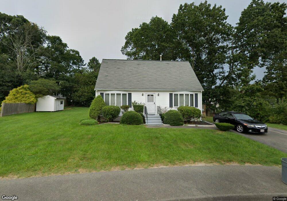
7 Macauley Way Randolph, MA 02368
North Randolph NeighborhoodEstimated Value: $596,585 - $768,000
3
Beds
2
Baths
1,512
Sq Ft
$438/Sq Ft
Est. Value
About This Home
This home is located at 7 Macauley Way, Randolph, MA 02368 and is currently estimated at $662,646, approximately $438 per square foot. 7 Macauley Way is a home located in Norfolk County with nearby schools including Randolph High School and Lighthouse Baptist Christian Academy.
Create a Home Valuation Report for This Property
The Home Valuation Report is an in-depth analysis detailing your home's value as well as a comparison with similar homes in the area
Home Values in the Area
Average Home Value in this Area
Tax History Compared to Growth
Tax History
| Year | Tax Paid | Tax Assessment Tax Assessment Total Assessment is a certain percentage of the fair market value that is determined by local assessors to be the total taxable value of land and additions on the property. | Land | Improvement |
|---|---|---|---|---|
| 2025 | $6,397 | $551,000 | $254,200 | $296,800 |
| 2024 | $6,169 | $538,800 | $249,100 | $289,700 |
| 2023 | $5,937 | $491,500 | $226,500 | $265,000 |
| 2022 | $5,968 | $438,800 | $188,800 | $250,000 |
| 2021 | $5,602 | $379,000 | $157,300 | $221,700 |
| 2020 | $5,467 | $366,700 | $157,300 | $209,400 |
| 2019 | $5,340 | $356,500 | $149,900 | $206,600 |
| 2018 | $5,137 | $323,500 | $136,100 | $187,400 |
| 2017 | $5,082 | $314,100 | $129,700 | $184,400 |
| 2016 | $4,876 | $280,400 | $117,800 | $162,600 |
| 2015 | $4,635 | $256,100 | $112,300 | $143,800 |
Source: Public Records
Map
Nearby Homes
- 79 Gold St
- 68 High St
- 33 Michael Rd
- 229 Chestnut St
- 43 Emily Jeffers Rd
- 902 Irving Rd Unit 902
- 2 Smith Rd
- 232 Canton St Unit 104
- 232 Canton St Unit 112
- 10 Michael Rd
- 304 High St
- 16 Simmonds Blvd Unit 16
- 20 Simmonds Blvd Unit 20
- 14 Simmonds Blvd Unit 14
- 12 Simmonds Blvd Unit 12
- 11 Ledgewood Dr
- 17 Mazzeo Dr
- 34 Orchard St
- 12 Webster St
- 7 Webster St