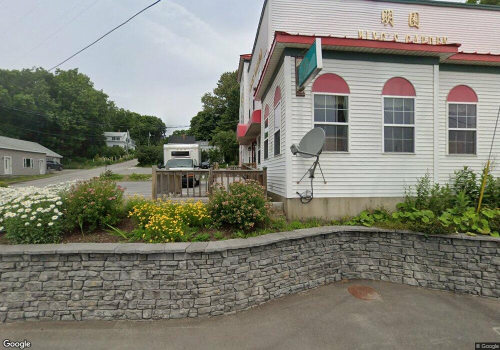
7 Main St Bucksport, ME 04416
Estimated Value: $463,000 - $816,693
4
Beds
4
Baths
5,200
Sq Ft
$124/Sq Ft
Est. Value
About This Home
This home is located at 7 Main St, Bucksport, ME 04416 and is currently estimated at $646,173, approximately $124 per square foot. 7 Main St is a home with nearby schools including G. Herbert Jewett School, Miles Lane School, and Bucksport Middle School.
Create a Home Valuation Report for This Property
The Home Valuation Report is an in-depth analysis detailing your home's value as well as a comparison with similar homes in the area
Home Values in the Area
Average Home Value in this Area
Tax History Compared to Growth
Tax History
| Year | Tax Paid | Tax Assessment Tax Assessment Total Assessment is a certain percentage of the fair market value that is determined by local assessors to be the total taxable value of land and additions on the property. | Land | Improvement |
|---|---|---|---|---|
| 2024 | $8,745 | $659,980 | $102,020 | $557,960 |
| 2023 | $8,415 | $659,980 | $102,020 | $557,960 |
| 2022 | $8,946 | $527,790 | $92,740 | $435,050 |
| 2021 | $8,577 | $527,790 | $92,740 | $435,050 |
| 2020 | $8,577 | $527,790 | $92,740 | $435,050 |
| 2019 | $8,603 | $527,790 | $92,740 | $435,050 |
| 2018 | $8,277 | $527,790 | $92,740 | $435,050 |
| 2017 | $8,608 | $524,850 | $99,150 | $425,700 |
| 2016 | $8,660 | $524,850 | $99,150 | $425,700 |
| 2015 | $8,978 | $525,000 | $99,000 | $426,000 |
| 2014 | $7,406 | $524,851 | $99,151 | $425,700 |
| 2013 | $7,117 | $524,850 | $99,150 | $425,700 |
Source: Public Records
Map
Nearby Homes
- 13 Buck St
- 23 Pond St
- 21 Federal St
- 48 Pond St
- 63 Pond St
- Lot 96 Pond Street Extension St
- 100 Us Route 1
- 49 Mechanic St
- 105 Main St
- 63 Main St
- 1407 U S 1
- 54 Gross Point Rd
- 52 State Route 46
- 53-04 Race Course Rd
- 53-03 Race Course Rd
- 104 State Route 46
- 00 Switzer Spring Rd
- 326 Silver Lake Rd
- 195 River Rd
- 4 Switzer Spring Rd