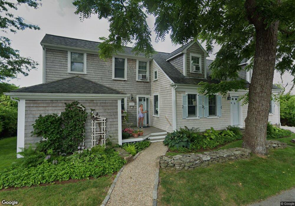
7 Main St Mattapoisett, MA 02739
Estimated Value: $1,132,000 - $1,290,000
4
Beds
4
Baths
2,510
Sq Ft
$472/Sq Ft
Est. Value
About This Home
This home is located at 7 Main St, Mattapoisett, MA 02739 and is currently estimated at $1,184,666, approximately $471 per square foot. 7 Main St is a home with nearby schools including Center School, Old Hammondtown Elementary, and Old Rochester Regional High School.
Create a Home Valuation Report for This Property
The Home Valuation Report is an in-depth analysis detailing your home's value as well as a comparison with similar homes in the area
Home Values in the Area
Average Home Value in this Area
Tax History Compared to Growth
Tax History
| Year | Tax Paid | Tax Assessment Tax Assessment Total Assessment is a certain percentage of the fair market value that is determined by local assessors to be the total taxable value of land and additions on the property. | Land | Improvement |
|---|---|---|---|---|
| 2025 | $11,749 | $1,091,900 | $628,700 | $463,200 |
| 2024 | $11,476 | $1,091,900 | $628,700 | $463,200 |
| 2023 | $10,578 | $940,254 | $561,454 | $378,800 |
| 2022 | $9,650 | $778,261 | $440,561 | $337,700 |
| 2021 | $9,939 | $766,861 | $440,561 | $326,300 |
| 2020 | $10,155 | $752,764 | $419,664 | $333,100 |
| 2019 | $9,944 | $752,800 | $419,700 | $333,100 |
| 2018 | $10,213 | $784,400 | $415,000 | $369,400 |
| 2017 | $10,252 | $784,400 | $415,000 | $369,400 |
| 2016 | $9,451 | $716,000 | $398,200 | $317,800 |
| 2015 | $9,308 | $716,000 | $398,200 | $317,800 |
| 2014 | $9,443 | $742,400 | $406,600 | $335,800 |
Source: Public Records
Map
Nearby Homes
- 7 Pearl St
- 12 Cannon St
- 8 Captains Ln
- 35 North St
- 11 Captains Ln
- 9 Hitching Post Rd
- 47 Fairhaven Rd
- 15 Ned's Point Rd
- 13 Park Place
- 52 Prince Snow Cir
- 1 Starboard Way
- 41 Starboard Way
- 0 Whalers Way
- 83 Fairhaven Rd
- 0 Harbor Acres Ln - Lot B
- 3 Rock St
- 6 Ocean Breeze Ln
- 19 High Ridge Dr
- 3 Brandt Island Rd
- 31 Split Rock Ln