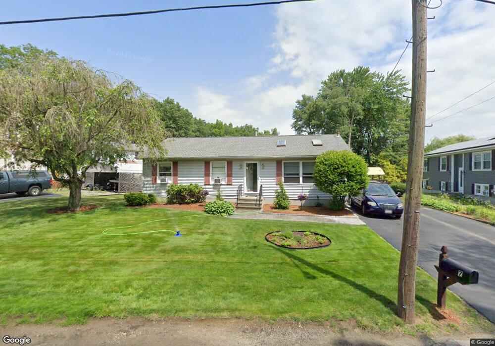
7 Manor Rd Millbury, MA 01527
Estimated Value: $337,000 - $691,000
3
Beds
2
Baths
1,432
Sq Ft
$384/Sq Ft
Est. Value
About This Home
This home is located at 7 Manor Rd, Millbury, MA 01527 and is currently estimated at $550,069, approximately $384 per square foot. 7 Manor Rd is a home located in Worcester County with nearby schools including Elmwood Street Elementary School, Raymond E. Shaw Elementary School, and Millbury Junior/Senior High School.
Ownership History
Date
Name
Owned For
Owner Type
Purchase Details
Closed on
Apr 16, 1993
Sold by
Goldstein David M and Goldstein Christine
Bought by
Daley Kevin C and Daley Marybeth
Current Estimated Value
Home Financials for this Owner
Home Financials are based on the most recent Mortgage that was taken out on this home.
Original Mortgage
$99,450
Interest Rate
7.39%
Mortgage Type
Purchase Money Mortgage
Create a Home Valuation Report for This Property
The Home Valuation Report is an in-depth analysis detailing your home's value as well as a comparison with similar homes in the area
Home Values in the Area
Average Home Value in this Area
Purchase History
| Date | Buyer | Sale Price | Title Company |
|---|---|---|---|
| Daley Kevin C | $109,500 | -- | |
| Daley Kevin C | $109,500 | -- |
Source: Public Records
Mortgage History
| Date | Status | Borrower | Loan Amount |
|---|---|---|---|
| Open | Daley Kevin C | $71,000 | |
| Closed | Daley Kevin C | $65,000 | |
| Closed | Daley Kevin C | $99,450 |
Source: Public Records
Tax History
| Year | Tax Paid | Tax Assessment Tax Assessment Total Assessment is a certain percentage of the fair market value that is determined by local assessors to be the total taxable value of land and additions on the property. | Land | Improvement |
|---|---|---|---|---|
| 2025 | $8,685 | $648,603 | $355,003 | $293,600 |
| 2024 | $7,967 | $602,186 | $329,086 | $273,100 |
| 2023 | $5,926 | $410,095 | $170,595 | $239,500 |
| 2022 | $5,833 | $388,895 | $170,595 | $218,300 |
| 2021 | $5,782 | $374,695 | $170,595 | $204,100 |
| 2020 | $5,226 | $340,900 | $142,100 | $198,800 |
| 2019 | $4,998 | $315,300 | $129,000 | $186,300 |
| 2018 | $4,776 | $292,300 | $129,000 | $163,300 |
| 2017 | $4,323 | $263,100 | $129,000 | $134,100 |
| 2016 | $4,283 | $260,200 | $129,000 | $131,200 |
| 2015 | $4,367 | $265,300 | $137,300 | $128,000 |
| 2014 | $3,588 | $209,800 | $99,400 | $110,400 |
Source: Public Records
Map
Nearby Homes
- 2 Wilson Rd Unit B
- 2 Wilson Rd Unit A
- 25 Upton St
- 48 Macarthur Dr
- 2 Diane St
- 300 Millbury Ave
- 2 Riverlin Pkwy
- 8 Nightview Place
- 12 Irene Ct
- 8 Lincoln Ave
- 17 Lincoln Ave
- 7 Barbara St
- 7 Canal St
- 457 Granite St
- 37-39 Main St
- 0 Worcester Providence Turnpike
- 1459 Grafton Rd
- 11 Maplewood Rd
- 5 Ann Dr Unit 5
- 20 Woodridge Rd
- 9 Manor Rd
- 5 Manor Rd
- 184 Millbury Ave
- 1 Manor Rd
- 186 Millbury Ave
- 182 Millbury Ave
- 15 Manor Rd
- 4 Manor Rd
- 4 Manor Rd
- 188 Millbury Ave
- 188 Millbury Ave Unit 1
- 13 Wilson Rd
- 28 Wilson Rd
- 180 Millbury Ave
- 16 Manor Rd
- 192 Millbury Ave Unit 194
- 187 Millbury Ave
- 178 Millbury Ave
- 189 Millbury Ave Unit C
- 189 Millbury Ave Unit E
Your Personal Tour Guide
Ask me questions while you tour the home.