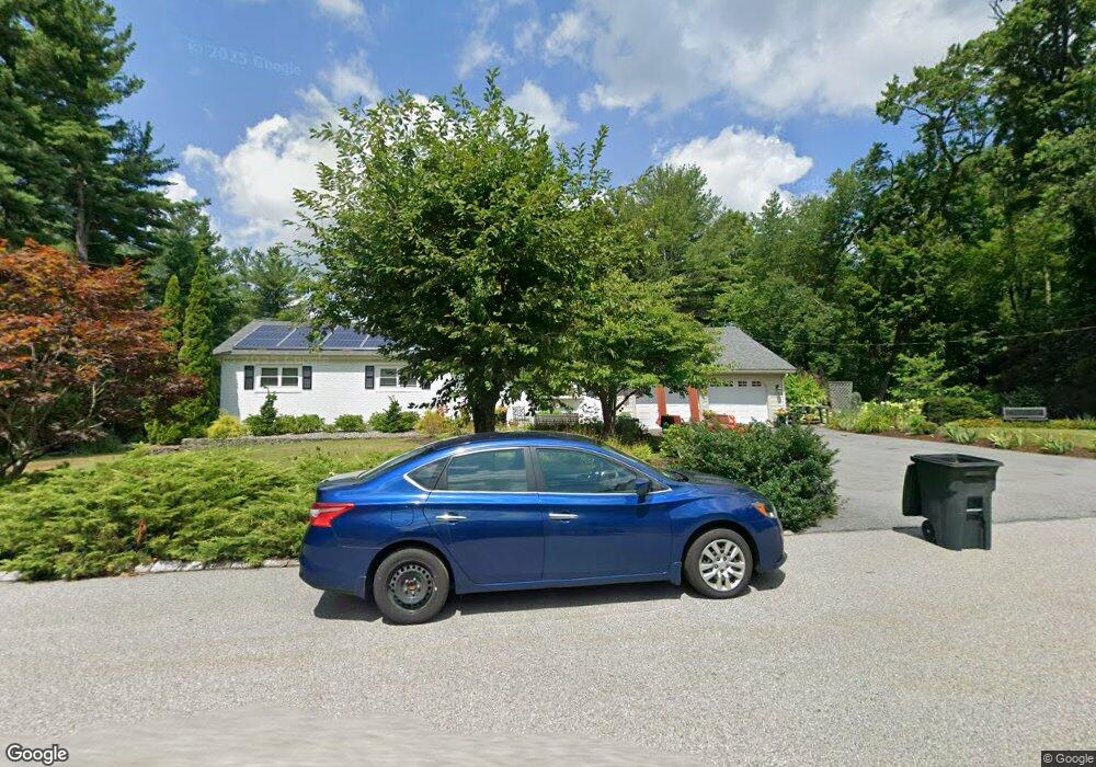
7 Mansfield Dr Chelmsford, MA 01824
Robin Hill NeighborhoodEstimated Value: $654,524 - $746,000
3
Beds
2
Baths
1,352
Sq Ft
$523/Sq Ft
Est. Value
About This Home
This home is located at 7 Mansfield Dr, Chelmsford, MA 01824 and is currently estimated at $706,631, approximately $522 per square foot. 7 Mansfield Dr is a home located in Middlesex County with nearby schools including Byam Elementary School, Parker Middle School, and Chelmsford High School.
Ownership History
Date
Name
Owned For
Owner Type
Purchase Details
Closed on
Apr 14, 2021
Sold by
Paletta Todd A and Paletta Jennifer L
Bought by
Paletta Ft and Paletta
Current Estimated Value
Purchase Details
Closed on
Jan 24, 1994
Sold by
Much Carl H and Much Gail
Bought by
Paletta Todd A and Paletta Jennifer
Create a Home Valuation Report for This Property
The Home Valuation Report is an in-depth analysis detailing your home's value as well as a comparison with similar homes in the area
Home Values in the Area
Average Home Value in this Area
Purchase History
| Date | Buyer | Sale Price | Title Company |
|---|---|---|---|
| Paletta Ft | -- | None Available | |
| Paletta Ft | -- | None Available | |
| Paletta Todd A | $160,000 | -- | |
| Paletta Todd A | $160,000 | -- |
Source: Public Records
Mortgage History
| Date | Status | Borrower | Loan Amount |
|---|---|---|---|
| Previous Owner | Paletta Todd A | $296,500 | |
| Previous Owner | Paletta Todd A | $56,275 | |
| Previous Owner | Paletta Todd A | $237,000 |
Source: Public Records
Tax History
| Year | Tax Paid | Tax Assessment Tax Assessment Total Assessment is a certain percentage of the fair market value that is determined by local assessors to be the total taxable value of land and additions on the property. | Land | Improvement |
|---|---|---|---|---|
| 2025 | $8,364 | $601,700 | $337,900 | $263,800 |
| 2024 | $8,323 | $611,100 | $337,900 | $273,200 |
| 2023 | $8,004 | $557,000 | $350,200 | $206,800 |
| 2022 | $7,841 | $497,200 | $301,200 | $196,000 |
| 2021 | $7,116 | $452,100 | $276,200 | $175,900 |
| 2020 | $7,217 | $438,700 | $244,800 | $193,900 |
| 2019 | $7,080 | $433,000 | $249,600 | $183,400 |
| 2018 | $7,107 | $395,700 | $216,600 | $179,100 |
| 2017 | $6,630 | $370,000 | $202,900 | $167,100 |
| 2016 | $6,164 | $341,900 | $193,300 | $148,600 |
| 2015 | $6,029 | $322,400 | $175,600 | $146,800 |
| 2014 | $5,857 | $308,600 | $167,900 | $140,700 |
Source: Public Records
Map
Nearby Homes
- 101 Hunt Rd
- 243 Mason Ave
- 3 Blaisdell Rd
- 189 Littleton Rd Unit 59
- 192 Mason Ave
- 235 New Yorker Ave
- 143 Pine Hill Rd
- 34 Clover Hill Dr
- 360 Littleton Rd Unit A4
- 360 Littleton Rd Unit D8
- 55 Parker Rd
- 55 Thomas Dr
- 9 Acton Rd Unit 2
- 9 Acton Rd Unit 6
- 9 Acton Rd Unit 8
- 109 Westford St
- 1 Rosemary Ln
- 10 Aldrich Ln
- 21 Fairbanks Rd
- 8 Perham St
- 9 Mansfield Dr
- 8 Mansfield Dr
- 5 Mansfield Dr
- 6 Mansfield Dr
- 10 Mansfield Dr
- 11 Mansfield Dr
- 3 Mansfield Dr
- 12 Mansfield Dr
- 3 Fox Haven Way
- 79 Robin Hill Rd
- 83 Robin Hill Rd
- 14 Mansfield Dr
- 1 Velvet Ln
- 13 Mansfield Dr
- 89 Robin Hill Rd
- 75 Robin Hill Rd
- 75 Robin Hill Rd Unit 2
- 75 Robin Hill Rd Unit 1
- 75 Robin Hill Rd
- 4 Fox Haven Way
Your Personal Tour Guide
Ask me questions while you tour the home.