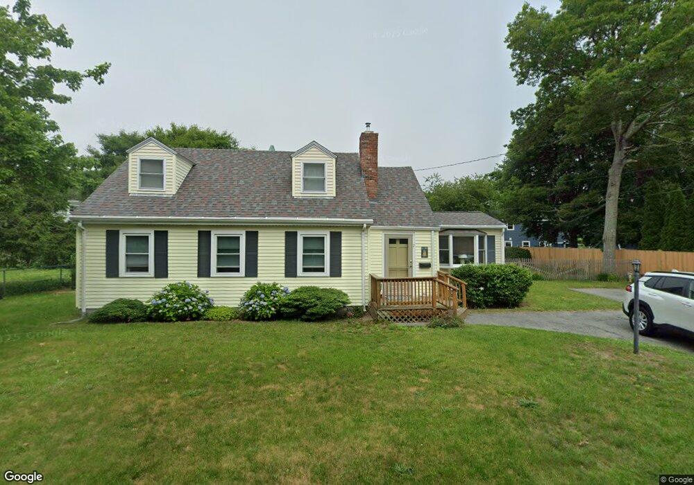
7 Maple St Bourne, MA 02532
Buzzards Bay NeighborhoodEstimated Value: $608,000 - $900,000
4
Beds
1
Bath
1,399
Sq Ft
$535/Sq Ft
Est. Value
About This Home
This home is located at 7 Maple St, Bourne, MA 02532 and is currently estimated at $748,579, approximately $535 per square foot. 7 Maple St is a home located in Barnstable County with nearby schools including Bourne High School and St Margaret Regional School.
Create a Home Valuation Report for This Property
The Home Valuation Report is an in-depth analysis detailing your home's value as well as a comparison with similar homes in the area
Home Values in the Area
Average Home Value in this Area
Tax History
| Year | Tax Paid | Tax Assessment Tax Assessment Total Assessment is a certain percentage of the fair market value that is determined by local assessors to be the total taxable value of land and additions on the property. | Land | Improvement |
|---|---|---|---|---|
| 2025 | $5,439 | $696,400 | $438,500 | $257,900 |
| 2024 | $5,319 | $663,200 | $417,600 | $245,600 |
| 2023 | $5,170 | $586,800 | $369,500 | $217,300 |
| 2022 | $5,040 | $499,500 | $327,000 | $172,500 |
| 2021 | $4,896 | $454,600 | $297,600 | $157,000 |
| 2020 | $4,771 | $444,200 | $294,800 | $149,400 |
| 2019 | $4,580 | $435,800 | $294,800 | $141,000 |
| 2018 | $4,302 | $408,200 | $280,800 | $127,400 |
| 2017 | $4,164 | $404,300 | $278,100 | $126,200 |
| 2016 | $4,053 | $398,900 | $278,700 | $120,200 |
Source: Public Records
Map
Nearby Homes
- 23 Alderberry Rd
- 48 Maple St
- 58 Maple St
- 46 Holt Rd Unit B
- 46 Holt Rd
- 304 Main St
- 40-A Lafayette Ave
- 38 Old Bridge Rd
- 6 Honora Ct
- 4 Van Bummel Rd
- 3 Honora Ln Unit 3
- 9 Hideaway Rd Unit F
- 60 Sandwich Rd
- 810 Head of The Bay Rd
- 13 Hideaway Village Unit G
- 60 Bourne Neck Dr
- 44 Cotuit Rd
- 10 Sandy Ln
- 5 Zoli Ln
- 11 Buzzards Bay Dr
Your Personal Tour Guide
Ask me questions while you tour the home.