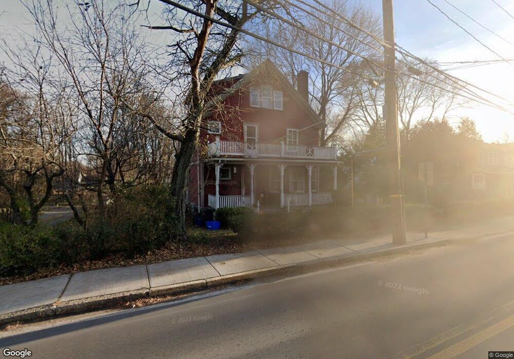
7 Maple St Lexington, MA 02420
Follen Heights NeighborhoodEstimated Value: $1,145,870 - $1,325,000
5
Beds
2
Baths
2,030
Sq Ft
$621/Sq Ft
Est. Value
About This Home
This home is located at 7 Maple St, Lexington, MA 02420 and is currently estimated at $1,259,968, approximately $620 per square foot. 7 Maple St is a home located in Middlesex County with nearby schools including Bowman Elementary School, Jonas Clarke Middle School, and Lexington High School.
Ownership History
Date
Name
Owned For
Owner Type
Purchase Details
Closed on
May 16, 2025
Sold by
Caruso Joseph C and Fleming-Caruso Tara
Bought by
7 Maple Street Rt and Caruso
Current Estimated Value
Purchase Details
Closed on
Dec 17, 2007
Sold by
Redmon Ann S and Redmon Charles Gant
Bought by
Caruso Joseph C and Fleming-Caruso Tara
Home Financials for this Owner
Home Financials are based on the most recent Mortgage that was taken out on this home.
Original Mortgage
$417,000
Interest Rate
6.3%
Mortgage Type
Purchase Money Mortgage
Create a Home Valuation Report for This Property
The Home Valuation Report is an in-depth analysis detailing your home's value as well as a comparison with similar homes in the area
Home Values in the Area
Average Home Value in this Area
Purchase History
| Date | Buyer | Sale Price | Title Company |
|---|---|---|---|
| 7 Maple Street Rt | -- | None Available | |
| 7 Maple Street Rt | -- | None Available | |
| Caruso Joseph C | $560,000 | -- | |
| Caruso Joseph C | $560,000 | -- |
Source: Public Records
Mortgage History
| Date | Status | Borrower | Loan Amount |
|---|---|---|---|
| Previous Owner | Caruso Joseph C | $404,000 | |
| Previous Owner | Caruso Joseph C | $417,000 |
Source: Public Records
Tax History
| Year | Tax Paid | Tax Assessment Tax Assessment Total Assessment is a certain percentage of the fair market value that is determined by local assessors to be the total taxable value of land and additions on the property. | Land | Improvement |
|---|---|---|---|---|
| 2025 | $11,949 | $977,000 | $482,000 | $495,000 |
| 2024 | $10,560 | $862,000 | $459,000 | $403,000 |
| 2023 | $10,348 | $796,000 | $418,000 | $378,000 |
| 2022 | $9,922 | $719,000 | $380,000 | $339,000 |
| 2021 | $9,903 | $683,000 | $361,000 | $322,000 |
| 2020 | $9,470 | $674,000 | $361,000 | $313,000 |
| 2019 | $9,093 | $644,000 | $344,000 | $300,000 |
| 2018 | $8,594 | $601,000 | $314,000 | $287,000 |
| 2017 | $3,035 | $595,000 | $306,000 | $289,000 |
| 2016 | $7,972 | $546,000 | $288,000 | $258,000 |
| 2015 | $7,475 | $503,000 | $262,000 | $241,000 |
| 2014 | $8,096 | $522,000 | $248,000 | $274,000 |
Source: Public Records
Map
Nearby Homes
- 25 Maple St
- 20 Marrett Rd
- 1 Tricorne Rd
- 143 Emerson Gardens Rd
- 16 Lily Pond Ln Unit 16
- 10 Eliot Rd
- 12 Brandon St
- 10 Luongo Farm Ln
- 197 Woburn St
- 1437 Massachusetts Ave
- 218 Lowell St
- 1475 Massachusetts Ave Unit 467
- 7 Whipple Rd
- 67 Lowell St
- 4 Aerial St
- 42 Winthrop Rd
- 71 Webb St
- 181 Lowell St
- 8 Blueberry Ln
- 36 Dundee Rd
- 5 Maple St
- 9 Maple St
- 1063 Massachusetts Ave Unit 2
- 1063 Massachusetts Ave
- 1071 Massachusetts Ave
- 1073 Massachusetts Ave
- 1083 Massachusetts Ave
- 1061 Massachusetts Ave
- 1061 Massachusetts Ave Unit 1
- 13 Maple St
- 1099 Massachusetts Ave
- 1025 Massachusetts Ave
- 1025 Massachusetts Ave Unit 4
- 1027 Massachusetts Ave
- 1027 Mass Ave Unit 2
- 11 Byron Ave
- 1031 Massachusetts Ave
- 1029 Massachusetts Ave
- 14 Maple St
- 1021 Massachusetts Ave
Your Personal Tour Guide
Ask me questions while you tour the home.