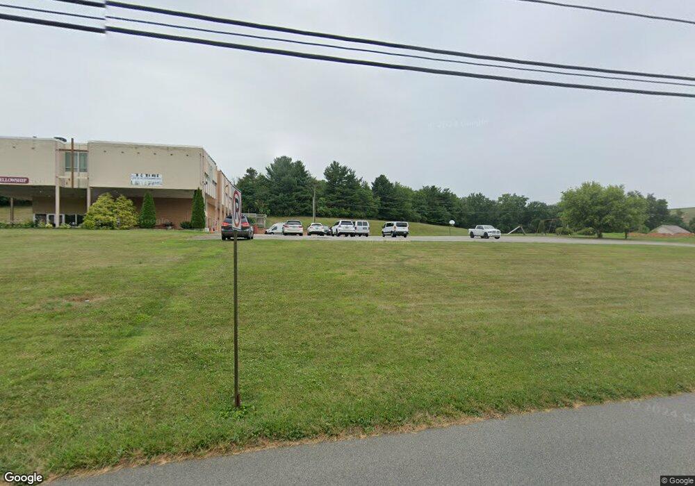
7 Maple St Seven Valleys, PA 17360
Estimated Value: $673,791
--
Bed
--
Bath
10,134
Sq Ft
$66/Sq Ft
Est. Value
About This Home
This home is located at 7 Maple St, Seven Valleys, PA 17360 and is currently estimated at $673,791, approximately $66 per square foot. 7 Maple St is a home located in York County with nearby schools including Spring Grove Area Middle School and Spring Grove Area High School.
Ownership History
Date
Name
Owned For
Owner Type
Purchase Details
Closed on
Nov 5, 2004
Sold by
Coach Light Properties
Bought by
Liberty Christian Fellowship
Current Estimated Value
Home Financials for this Owner
Home Financials are based on the most recent Mortgage that was taken out on this home.
Original Mortgage
$272,000
Outstanding Balance
$135,103
Interest Rate
5.71%
Mortgage Type
Purchase Money Mortgage
Estimated Equity
$540,908
Purchase Details
Closed on
Apr 29, 2004
Sold by
Spring Grove Area School District
Bought by
Coach Light Properties
Create a Home Valuation Report for This Property
The Home Valuation Report is an in-depth analysis detailing your home's value as well as a comparison with similar homes in the area
Home Values in the Area
Average Home Value in this Area
Purchase History
| Date | Buyer | Sale Price | Title Company |
|---|---|---|---|
| Liberty Christian Fellowship | $340,000 | -- | |
| Coach Light Properties | $257,000 | -- |
Source: Public Records
Mortgage History
| Date | Status | Borrower | Loan Amount |
|---|---|---|---|
| Open | Liberty Christian Fellowship | $272,000 |
Source: Public Records
Tax History Compared to Growth
Tax History
| Year | Tax Paid | Tax Assessment Tax Assessment Total Assessment is a certain percentage of the fair market value that is determined by local assessors to be the total taxable value of land and additions on the property. | Land | Improvement |
|---|---|---|---|---|
| 2025 | -- | $0 | $0 | $0 |
| 2024 | -- | $0 | $0 | $0 |
| 2023 | $11,928 | $0 | $0 | $0 |
| 2022 | $10,735 | $0 | $0 | $0 |
| 2021 | $11,400 | $0 | $0 | $0 |
| 2020 | $11,400 | $0 | $0 | $0 |
| 2019 | $10,735 | $0 | $0 | $0 |
| 2018 | $10,996 | $0 | $0 | $0 |
| 2017 | $10,735 | $0 | $0 | $0 |
| 2016 | $0 | $0 | $0 | $0 |
| 2015 | -- | $0 | $0 | $0 |
| 2014 | -- | $0 | $0 | $0 |
Source: Public Records
Map
Nearby Homes
- 49 Church St
- 84 Church St
- 96 Church St
- 107 Church St
- 127 Church St
- 160 Church St
- 2530 Tree Top Ln
- 3936 N Rohrbaugh Rd
- 1322 Grove Ln
- 6381 Glatfelters Station Rd
- 6825 Glatfelters Station Rd
- 4011 Cherry Run Rd
- 8569 Diamond Run Ct Unit 348
- 3314 Boose Rd
- 947 Countryside Rd
- 1935 Patriot St
- 856 Countryside Rd
- 1982 Whyte Ln
- 813 Countryside Rd
- 1879 Jamestown Ln Unit 1879