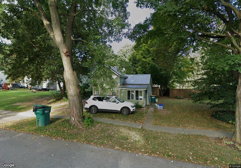
7 Maple St Wyoming, NY 14591
Estimated Value: $96,593 - $152,000
2
Beds
1
Bath
887
Sq Ft
$132/Sq Ft
Est. Value
About This Home
This home is located at 7 Maple St, Wyoming, NY 14591 and is currently estimated at $116,898, approximately $131 per square foot. 7 Maple St is a home with nearby schools including Wyoming Central School.
Ownership History
Date
Name
Owned For
Owner Type
Purchase Details
Closed on
Mar 29, 2021
Sold by
Meyer Andrew J and Meyer Elizabeth M
Bought by
Crosson Allison M
Current Estimated Value
Home Financials for this Owner
Home Financials are based on the most recent Mortgage that was taken out on this home.
Original Mortgage
$20,000
Outstanding Balance
$17,978
Interest Rate
2.73%
Mortgage Type
Purchase Money Mortgage
Estimated Equity
$98,920
Purchase Details
Closed on
Jul 22, 2004
Sold by
Heale Debra J
Bought by
Meyer Andrew J
Purchase Details
Closed on
Aug 28, 2001
Sold by
Henderson Carl M
Bought by
Paprocki Debra J
Purchase Details
Closed on
Jun 30, 2000
Sold by
Henderson Carl E Estate
Bought by
Henderson Carl M
Create a Home Valuation Report for This Property
The Home Valuation Report is an in-depth analysis detailing your home's value as well as a comparison with similar homes in the area
Home Values in the Area
Average Home Value in this Area
Purchase History
| Date | Buyer | Sale Price | Title Company |
|---|---|---|---|
| Crosson Allison M | $20,000 | None Available | |
| Meyer Andrew J | $17,600 | Jeffrey E Erickson | |
| Paprocki Debra J | $18,000 | Theron A Foote | |
| Henderson Carl M | $14,000 | -- |
Source: Public Records
Mortgage History
| Date | Status | Borrower | Loan Amount |
|---|---|---|---|
| Open | Crosson Allison M | $20,000 |
Source: Public Records
Tax History Compared to Growth
Tax History
| Year | Tax Paid | Tax Assessment Tax Assessment Total Assessment is a certain percentage of the fair market value that is determined by local assessors to be the total taxable value of land and additions on the property. | Land | Improvement |
|---|---|---|---|---|
| 2024 | $2,478 | $58,700 | $3,400 | $55,300 |
| 2023 | $2,478 | $58,700 | $3,400 | $55,300 |
| 2022 | $2,337 | $58,700 | $3,400 | $55,300 |
| 2021 | $2,263 | $58,700 | $3,400 | $55,300 |
| 2020 | $1,900 | $38,700 | $3,400 | $35,300 |
| 2019 | $1,809 | $38,700 | $3,400 | $35,300 |
| 2018 | $1,809 | $38,700 | $3,400 | $35,300 |
| 2017 | $1,691 | $38,700 | $3,400 | $35,300 |
| 2016 | $1,094 | $37,000 | $4,000 | $33,000 |
| 2015 | -- | $37,000 | $4,000 | $33,000 |
| 2014 | -- | $37,000 | $4,000 | $33,000 |
Source: Public Records
Map
Nearby Homes
- 29 Maple St
- 39 Sherman Ave
- 28 S Academy St
- 1470 State Route 19
- 5990 Rowley Rd
- 5037 W Middlebury Rd
- 7193 Court Rd
- 1318 Dale Rd
- 11141 W Park St
- 11139 Lake St
- 11052 Lake St
- 6429 Ellicott Street Rd
- 6139 State Route 20a E
- 2346 State Route 246
- 7740 Big Tree Rd
- 1834 Comet Rd
- 0 Dillon Rd
- 43 Rochester St
- 6276 State Route 20a E
- 24 Elm St