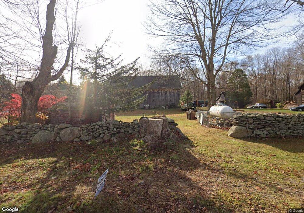
7 Markham Rd East Hampton, CT 06424
Estimated Value: $468,000 - $541,000
3
Beds
2
Baths
2,772
Sq Ft
$184/Sq Ft
Est. Value
About This Home
This home is located at 7 Markham Rd, East Hampton, CT 06424 and is currently estimated at $510,695, approximately $184 per square foot. 7 Markham Rd is a home located in Middlesex County with nearby schools including Memorial School, Center Elementary School, and East Hampton Middle School.
Ownership History
Date
Name
Owned For
Owner Type
Purchase Details
Closed on
Dec 31, 2015
Sold by
Engel Peter G
Bought by
Engel Melissa H
Current Estimated Value
Home Financials for this Owner
Home Financials are based on the most recent Mortgage that was taken out on this home.
Original Mortgage
$250,000
Outstanding Balance
$198,960
Interest Rate
3.98%
Mortgage Type
New Conventional
Estimated Equity
$311,735
Purchase Details
Closed on
Jan 23, 2013
Sold by
Peter G Engel Int G and Peter Engel
Bought by
Engel Peter G
Purchase Details
Closed on
Oct 5, 2009
Sold by
Markham Meadows Cpgd L
Bought by
Engel Melissa H
Create a Home Valuation Report for This Property
The Home Valuation Report is an in-depth analysis detailing your home's value as well as a comparison with similar homes in the area
Home Values in the Area
Average Home Value in this Area
Purchase History
| Date | Buyer | Sale Price | Title Company |
|---|---|---|---|
| Engel Melissa H | $250,000 | -- | |
| Engel Melissa H | $250,000 | -- | |
| Engel Peter G | -- | -- | |
| Engel Peter G | -- | -- | |
| Engel Peter G | -- | -- | |
| Engel Melissa H | -- | -- | |
| Engel Peter G | -- | -- | |
| Engel Peter G | -- | -- |
Source: Public Records
Mortgage History
| Date | Status | Borrower | Loan Amount |
|---|---|---|---|
| Open | Engel Melissa H | $250,000 | |
| Closed | Engel Melissa H | $250,000 | |
| Closed | Engel Melissa H | $0 |
Source: Public Records
Tax History
| Year | Tax Paid | Tax Assessment Tax Assessment Total Assessment is a certain percentage of the fair market value that is determined by local assessors to be the total taxable value of land and additions on the property. | Land | Improvement |
|---|---|---|---|---|
| 2025 | $9,770 | $246,030 | $74,960 | $171,070 |
| 2024 | $9,359 | $246,030 | $74,960 | $171,070 |
| 2023 | $8,872 | $246,030 | $74,960 | $171,070 |
| 2022 | $8,527 | $246,030 | $74,960 | $171,070 |
| 2021 | $8,495 | $246,030 | $74,960 | $171,070 |
| 2020 | $8,206 | $247,620 | $75,290 | $172,330 |
| 2019 | $7,608 | $229,570 | $77,360 | $152,210 |
| 2018 | $7,190 | $229,570 | $77,360 | $152,210 |
| 2017 | $7,190 | $229,570 | $77,360 | $152,210 |
| 2016 | $6,759 | $229,570 | $77,360 | $152,210 |
| 2015 | $6,366 | $229,150 | $78,090 | $151,060 |
| 2014 | $5,539 | $229,150 | $78,090 | $151,060 |
Source: Public Records
Map
Nearby Homes
- 119 Colchester Ave
- 149 Colchester Ave
- 117 Colchester Ave
- 68 Colchester Ave
- 2 Dogwood Dr
- 206 N Moodus Rd
- 29 Watrous St
- 4 Watrous St
- 1 Watrous St
- 1 Young St
- 289 Young St
- 141 Sillimanville Rd
- 80 Sillimanville Rd
- 0002-5 Edgewater Cir
- 0002-7 Edgewater Cir
- 0002-6 Edgewater Cir
- 00023 Edgewater Cir
- 00026 Edgewater Cir
- 00025 Edgewater Cir
- 0002-3 Edgewater Cir
- 13R Markham Rd
- 4 Markham Rd
- 47 Jacobson Farm Rd
- 82 Tartia Rd
- 74 Tartia Rd
- 45 Jacobson Farm Rd
- 51 Jacobson Farm Rd
- 43 Jacobson Farm Rd
- 57 Jacobson Farm Rd
- 70 Tartia Rd
- 92 Tartia Rd
- 9 Markham Rd
- 4 Town Farm Rd
- 39 Jacobson Farm Rd
- 55 Tartia Rd
- 48 Jacobson Farm Rd
- 52 Jacobson Farm Rd
- 58 Tartia Rd
- 54 Jacobson Farm Rd
- 37 Jacobson Farm Rd
Your Personal Tour Guide
Ask me questions while you tour the home.