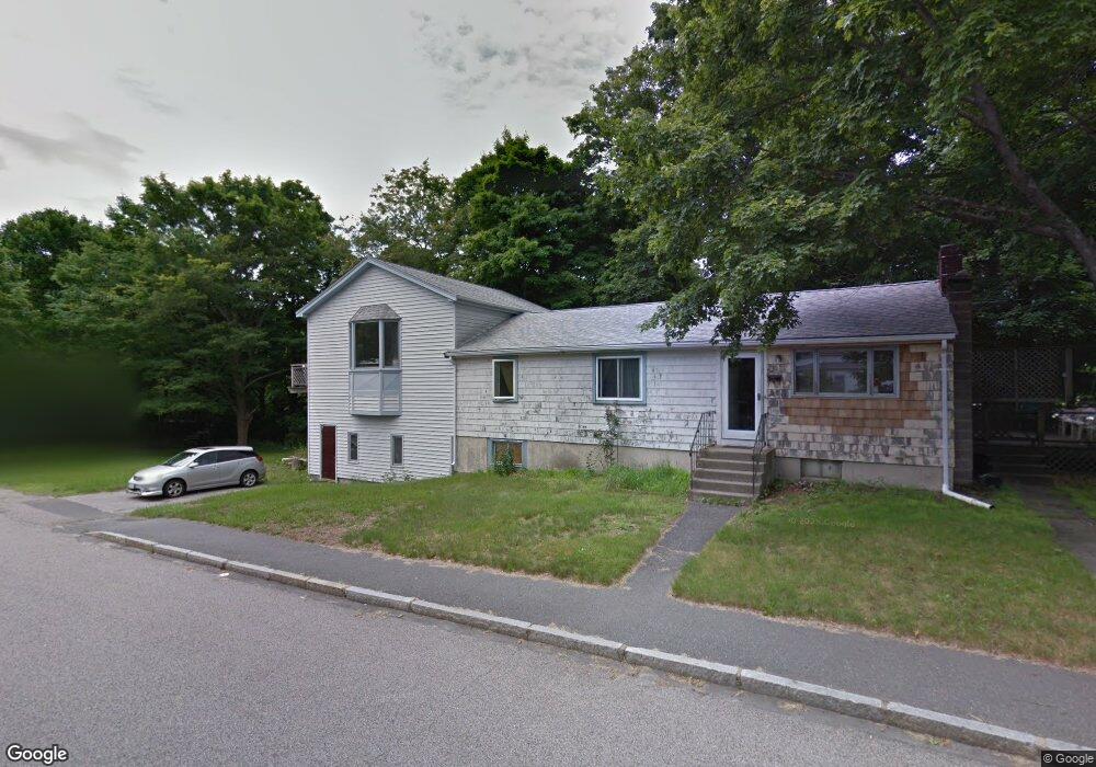
7 Marks St Rockland, MA 02370
Estimated Value: $548,546 - $598,000
3
Beds
2
Baths
1,632
Sq Ft
$349/Sq Ft
Est. Value
About This Home
This home is located at 7 Marks St, Rockland, MA 02370 and is currently estimated at $569,637, approximately $349 per square foot. 7 Marks St is a home located in Plymouth County with nearby schools including Rockland Senior High School, Calvary Chapel Academy, and Holy Family Elementary School.
Ownership History
Date
Name
Owned For
Owner Type
Purchase Details
Closed on
Oct 2, 2020
Sold by
Dahl Kari J
Bought by
Dahl Mikko
Current Estimated Value
Purchase Details
Closed on
Dec 1, 2015
Sold by
Dahl Mikko
Bought by
Dahl Kari J
Purchase Details
Closed on
Aug 8, 2014
Sold by
Dahl Kari J and Dahl Ellen L
Bought by
Dahl Mikko
Create a Home Valuation Report for This Property
The Home Valuation Report is an in-depth analysis detailing your home's value as well as a comparison with similar homes in the area
Home Values in the Area
Average Home Value in this Area
Purchase History
| Date | Buyer | Sale Price | Title Company |
|---|---|---|---|
| Dahl Mikko | -- | None Available | |
| Dahl Kari J | -- | -- | |
| Dahl Mikko | -- | -- |
Source: Public Records
Tax History
| Year | Tax Paid | Tax Assessment Tax Assessment Total Assessment is a certain percentage of the fair market value that is determined by local assessors to be the total taxable value of land and additions on the property. | Land | Improvement |
|---|---|---|---|---|
| 2025 | $6,700 | $490,100 | $229,800 | $260,300 |
| 2024 | $6,614 | $470,400 | $216,800 | $253,600 |
| 2023 | $6,570 | $431,700 | $198,900 | $232,800 |
| 2022 | $6,291 | $375,600 | $172,900 | $202,700 |
| 2021 | $5,778 | $334,400 | $157,200 | $177,200 |
| 2020 | $5,619 | $321,100 | $149,700 | $171,400 |
| 2019 | $5,485 | $306,100 | $142,600 | $163,500 |
| 2018 | $5,258 | $288,600 | $142,600 | $146,000 |
| 2017 | $5,089 | $275,400 | $142,600 | $132,800 |
| 2016 | $4,970 | $268,800 | $137,100 | $131,700 |
| 2015 | $4,718 | $247,900 | $128,200 | $119,700 |
| 2014 | $4,618 | $251,800 | $125,700 | $126,100 |
Source: Public Records
Map
Nearby Homes
- 206-208 Hinghm St
- 117 Liberty St
- 26 Hobart Ln Unit 26,C
- 63 Webster St
- 1 Von Rhor Dr Unit 1
- 48 Bigelow Ave
- 36 Bayberry Ln
- 9 Old Market St
- 40 Summit St
- 12 Dyer St Unit 12
- 19 Dyer St Unit 19
- 737-739 Union St
- 50 Linden Park
- 3 Leslie Ct
- 35-37 Salem St
- 215 Market St
- 7 Boxberry Ln Unit 7
- 1 Canterbury Ln
- 9 Juniper Cir
- 738 Whiting St
- 471 Webster St
- 463 Webster St
- 491 Webster St
- 37 Marks St
- 497 Webster St
- 455 Webster St
- 36 Marks St
- 482 Webster St
- 482 Webster St Unit 1
- 474 Webster St
- 503 Webster St
- 503 Webster St Unit 1
- 490 Webster St
- 500 Webster St
- 500 Webster St Unit A
- 47 Marks St
- 511 Webster St
- 32 Marks St
- 44 Marks St
- 23 Hingham St
Your Personal Tour Guide
Ask me questions while you tour the home.