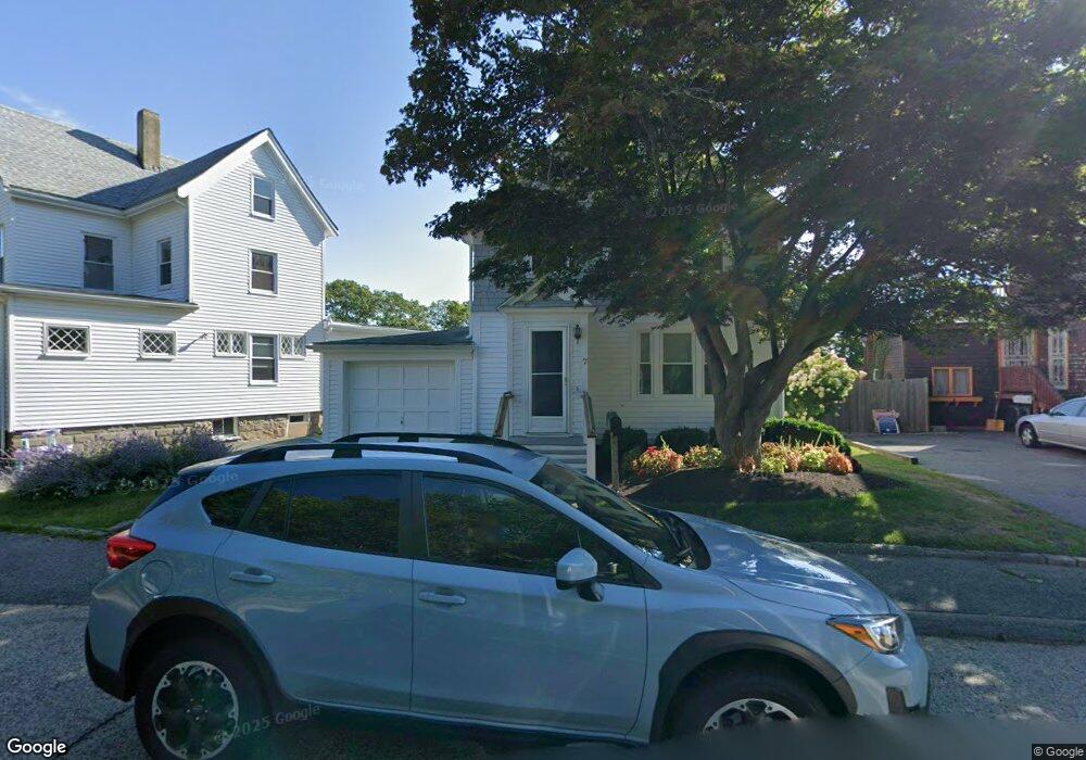
7 Marshfield St Gloucester, MA 01930
West Gloucester NeighborhoodEstimated Value: $548,093 - $645,000
3
Beds
1
Bath
1,250
Sq Ft
$482/Sq Ft
Est. Value
About This Home
This home is located at 7 Marshfield St, Gloucester, MA 01930 and is currently estimated at $602,523, approximately $482 per square foot. 7 Marshfield St is a home located in Essex County with nearby schools including West Parish, Ralph B O'maley Middle School, and Gloucester High School.
Ownership History
Date
Name
Owned For
Owner Type
Purchase Details
Closed on
Jan 5, 2010
Sold by
Geary Carleton T
Bought by
Geary David
Current Estimated Value
Purchase Details
Closed on
May 1, 1965
Bought by
Geary David
Create a Home Valuation Report for This Property
The Home Valuation Report is an in-depth analysis detailing your home's value as well as a comparison with similar homes in the area
Home Values in the Area
Average Home Value in this Area
Purchase History
| Date | Buyer | Sale Price | Title Company |
|---|---|---|---|
| Geary David | -- | -- | |
| Geary David | -- | -- |
Source: Public Records
Mortgage History
| Date | Status | Borrower | Loan Amount |
|---|---|---|---|
| Open | Geary David | $100,000 | |
| Closed | Geary David | $96,000 | |
| Previous Owner | Geary David | $77,000 |
Source: Public Records
Tax History
| Year | Tax Paid | Tax Assessment Tax Assessment Total Assessment is a certain percentage of the fair market value that is determined by local assessors to be the total taxable value of land and additions on the property. | Land | Improvement |
|---|---|---|---|---|
| 2025 | $4,600 | $473,200 | $140,900 | $332,300 |
| 2024 | $4,539 | $466,500 | $134,200 | $332,300 |
| 2023 | $4,338 | $409,600 | $119,800 | $289,800 |
| 2022 | $4,193 | $357,500 | $104,200 | $253,300 |
| 2021 | $4,404 | $354,000 | $94,700 | $259,300 |
| 2020 | $4,335 | $351,600 | $94,700 | $256,900 |
| 2019 | $4,020 | $316,800 | $94,700 | $222,100 |
| 2018 | $3,844 | $297,300 | $94,700 | $202,600 |
| 2017 | $3,675 | $278,600 | $90,200 | $188,400 |
| 2016 | $3,490 | $256,400 | $94,100 | $162,300 |
| 2015 | $3,339 | $244,600 | $94,100 | $150,500 |
Source: Public Records
Map
Nearby Homes
- 5 Marshfield St
- 13 Leslie o Johnson Rd
- 145 Essex Ave Unit 402
- 15 Harvard St
- 24 Cobblestone Ln Unit 603
- 5 Lepage Ln
- 20 Beacon St
- 20 Beacon St Unit 2
- 20 Beacon St Unit 1
- 120 Washington St
- 33 Middle St
- 35 Middle St Unit 4
- 6 Monroe Ct
- 3 Rockland St
- 5 Samoset Rd Unit B
- 33 Maplewood Ave Unit 310
- 98 Maplewood Ave
- 191 Main St Unit 3
- 191 Main St Unit 2A
- 113 Pleasant St
- 9 Marshfield St
- 9 & 9 1/2 Marshfield St
- 9 & 9R Marshfield St
- 11 Marshfield St
- 5 Marshfield St Unit 1
- 5 Marshfield St Unit 2
- 10 Marshfield St
- 2 Marshfield St
- 13 Bond St
- 12 Marshfield St
- 17 Marshfield St
- 7 Bond St Unit 3
- 7 Bond St Unit 1
- 7 Bond St
- 14 Marshfield St
- 17 Bond St
- 17 Bond St Unit 2
- 17 Bond St Unit 1
- 5 Bond St
- 19 Bond St
Your Personal Tour Guide
Ask me questions while you tour the home.