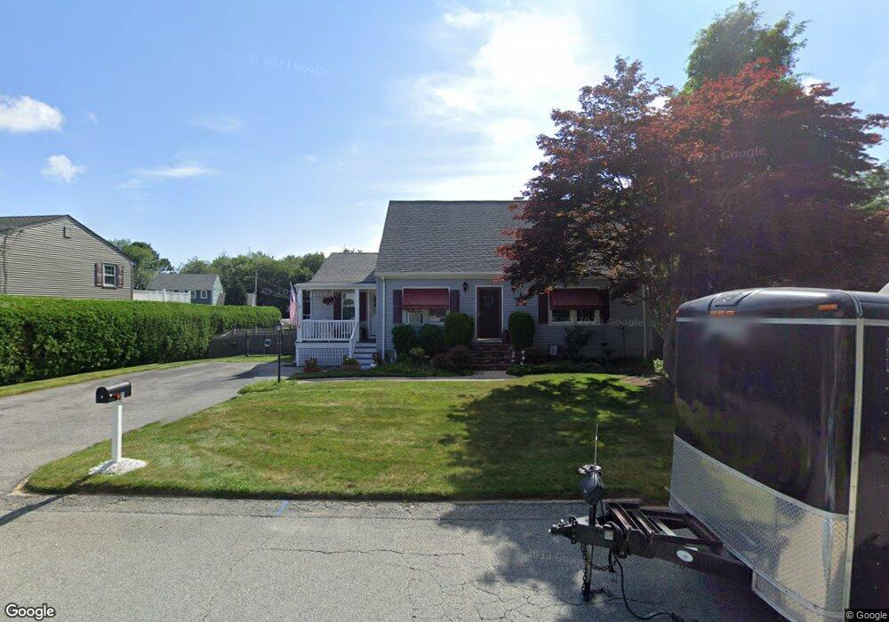
7 Matthew Dr Warren, RI 02885
East Warren NeighborhoodEstimated Value: $521,591 - $604,000
3
Beds
2
Baths
1,547
Sq Ft
$369/Sq Ft
Est. Value
About This Home
This home is located at 7 Matthew Dr, Warren, RI 02885 and is currently estimated at $570,148, approximately $368 per square foot. 7 Matthew Dr is a home located in Bristol County with nearby schools including Mt. Hope High School, Highlander Charter Middle and High School, and East Bay Career Academy.
Ownership History
Date
Name
Owned For
Owner Type
Purchase Details
Closed on
Oct 12, 2018
Sold by
Rooney 3Rd Russell L and Rooney Sandra
Bought by
Rooney Ft
Current Estimated Value
Purchase Details
Closed on
May 31, 1995
Sold by
Boulay Timothy M and Boulay Lynn
Bought by
Rooney Russell L and Rooney Sandra
Purchase Details
Closed on
Jun 4, 1991
Sold by
Miller Christopher
Bought by
Boulay Timothy M
Create a Home Valuation Report for This Property
The Home Valuation Report is an in-depth analysis detailing your home's value as well as a comparison with similar homes in the area
Home Values in the Area
Average Home Value in this Area
Purchase History
| Date | Buyer | Sale Price | Title Company |
|---|---|---|---|
| Rooney Ft | -- | -- | |
| Rooney Russell L | $135,000 | -- | |
| Boulay Timothy M | $135,000 | -- |
Source: Public Records
Mortgage History
| Date | Status | Borrower | Loan Amount |
|---|---|---|---|
| Previous Owner | Boulay Timothy M | $35,000 | |
| Previous Owner | Boulay Timothy M | $12,000 | |
| Previous Owner | Boulay Timothy M | $105,000 |
Source: Public Records
Tax History
| Year | Tax Paid | Tax Assessment Tax Assessment Total Assessment is a certain percentage of the fair market value that is determined by local assessors to be the total taxable value of land and additions on the property. | Land | Improvement |
|---|---|---|---|---|
| 2025 | $6,181 | $415,100 | $160,100 | $255,000 |
| 2024 | $5,994 | $415,100 | $160,100 | $255,000 |
| 2023 | $5,670 | $415,100 | $160,100 | $255,000 |
| 2022 | $5,127 | $284,700 | $137,900 | $146,800 |
| 2021 | $5,112 | $288,500 | $137,900 | $150,600 |
| 2020 | $5,008 | $288,500 | $137,900 | $150,600 |
| 2019 | $5,135 | $268,700 | $123,200 | $145,500 |
| 2018 | $5,066 | $268,600 | $123,100 | $145,500 |
| 2017 | $5,052 | $268,600 | $123,100 | $145,500 |
| 2016 | $4,625 | $231,600 | $85,000 | $146,600 |
| 2015 | $4,625 | $231,600 | $85,000 | $146,600 |
| 2014 | $4,648 | $231,600 | $85,000 | $146,600 |
Source: Public Records
Map
Nearby Homes
- 20 Reservoir Ave
- 33 Detroit Ave
- 36 Kinnicutt Ave
- 586 Child St
- 388 Child St
- 367 Child St
- 179 Schoolhouse Rd
- 795 Old Warren Rd
- 4 Read Ave
- 100 Evergreen Dr
- 596 Metacom Ave
- 115 Market St
- 0 Barton Ave
- 69 Cutler St
- 21 Federal St
- 31 Child St
- 0 Overhill Lot 1 Rd Unit 1405163
- 37 Warren Ave
- 13 Kelly St
- 7 Hawthorne Ave
Your Personal Tour Guide
Ask me questions while you tour the home.