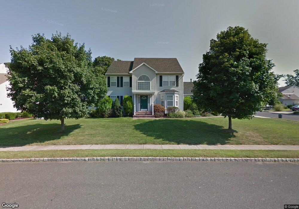
7 McDonald Way Englishtown, NJ 07726
Estimated Value: $828,000 - $871,000
4
Beds
2
Baths
2,456
Sq Ft
$347/Sq Ft
Est. Value
About This Home
This home is located at 7 McDonald Way, Englishtown, NJ 07726 and is currently estimated at $853,363, approximately $347 per square foot. 7 McDonald Way is a home located in Monmouth County with nearby schools including Taylor Mills Elementary School, Manalapan-Englishtown Middle School, and Pine Brook Elementary School.
Ownership History
Date
Name
Owned For
Owner Type
Purchase Details
Closed on
Jul 21, 2011
Sold by
Chassin Michael R and Chassin Beth
Bought by
Abbas Agha M and Abbas Naushaba
Current Estimated Value
Home Financials for this Owner
Home Financials are based on the most recent Mortgage that was taken out on this home.
Original Mortgage
$264,000
Outstanding Balance
$170,469
Interest Rate
3.25%
Mortgage Type
Adjustable Rate Mortgage/ARM
Estimated Equity
$682,894
Create a Home Valuation Report for This Property
The Home Valuation Report is an in-depth analysis detailing your home's value as well as a comparison with similar homes in the area
Home Values in the Area
Average Home Value in this Area
Purchase History
| Date | Buyer | Sale Price | Title Company |
|---|---|---|---|
| Abbas Agha M | $440,000 | Old Republic National Title |
Source: Public Records
Mortgage History
| Date | Status | Borrower | Loan Amount |
|---|---|---|---|
| Open | Abbas Agha M | $264,000 |
Source: Public Records
Tax History Compared to Growth
Tax History
| Year | Tax Paid | Tax Assessment Tax Assessment Total Assessment is a certain percentage of the fair market value that is determined by local assessors to be the total taxable value of land and additions on the property. | Land | Improvement |
|---|---|---|---|---|
| 2025 | $14,336 | $819,300 | $337,600 | $481,700 |
| 2024 | $13,659 | $721,500 | $320,300 | $401,200 |
| 2023 | $13,659 | $701,200 | $300,300 | $400,900 |
| 2022 | $11,912 | $615,100 | $229,000 | $386,100 |
| 2021 | $11,912 | $538,600 | $129,000 | $409,600 |
| 2020 | $12,147 | $503,400 | $129,000 | $374,400 |
| 2019 | $11,940 | $494,400 | $139,000 | $355,400 |
| 2018 | $12,213 | $481,600 | $139,000 | $342,600 |
| 2017 | $11,578 | $472,000 | $139,000 | $333,000 |
| 2016 | $11,149 | $466,100 | $139,000 | $327,100 |
| 2015 | $10,816 | $465,800 | $175,500 | $290,300 |
| 2014 | $10,192 | $465,400 | $255,400 | $210,000 |
Source: Public Records
Map
Nearby Homes
- 33 Tennent Ave
- 11 Weamaconk Dr
- 19 Weamaconk Dr
- 27 Farm Tree Rd
- 9 Tennent Ave
- 21 Harrison Ave
- 28 Whittier Dr
- 21 Thoreau Dr
- 13 Lasatta Ave
- 0 Private St Unit 22508862
- 10 Milton Ave
- 132 Millhurst Rd
- 1 Thoreau Dr
- 29 Wilson Ave
- 5 Mallard Ct
- 57 Chestnut Way
- 63 Atrium Way Unit 6-3
- 142 Freehold Rd
- 123 Freehold Rd
- 15 Lone Star Ln