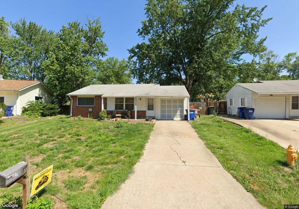
7 Meyer Ln Wentzville, MO 63385
Estimated Value: $215,000 - $240,000
3
Beds
1
Bath
960
Sq Ft
$234/Sq Ft
Est. Value
About This Home
This home is located at 7 Meyer Ln, Wentzville, MO 63385 and is currently estimated at $224,451, approximately $233 per square foot. 7 Meyer Ln is a home located in St. Charles County with nearby schools including Wentzville South Middle School, Timberland High School, and St Patrick School.
Ownership History
Date
Name
Owned For
Owner Type
Purchase Details
Closed on
Feb 4, 2011
Sold by
Helmolt Debra L and Woodson Debra L
Bought by
Woodson Debra L
Current Estimated Value
Home Financials for this Owner
Home Financials are based on the most recent Mortgage that was taken out on this home.
Original Mortgage
$79,500
Outstanding Balance
$54,606
Interest Rate
4.86%
Mortgage Type
New Conventional
Estimated Equity
$169,845
Purchase Details
Closed on
Feb 26, 1998
Sold by
Telford Annette M and Mantia Annette M
Bought by
Helmholt Debra L
Home Financials for this Owner
Home Financials are based on the most recent Mortgage that was taken out on this home.
Original Mortgage
$66,871
Interest Rate
6.91%
Mortgage Type
FHA
Create a Home Valuation Report for This Property
The Home Valuation Report is an in-depth analysis detailing your home's value as well as a comparison with similar homes in the area
Home Values in the Area
Average Home Value in this Area
Purchase History
| Date | Buyer | Sale Price | Title Company |
|---|---|---|---|
| Woodson Debra L | -- | None Available | |
| Helmholt Debra L | -- | -- |
Source: Public Records
Mortgage History
| Date | Status | Borrower | Loan Amount |
|---|---|---|---|
| Open | Woodson Debra L | $79,500 | |
| Closed | Helmholt Debra L | $66,871 |
Source: Public Records
Tax History Compared to Growth
Tax History
| Year | Tax Paid | Tax Assessment Tax Assessment Total Assessment is a certain percentage of the fair market value that is determined by local assessors to be the total taxable value of land and additions on the property. | Land | Improvement |
|---|---|---|---|---|
| 2025 | $1,780 | $29,638 | -- | -- |
| 2023 | $1,780 | $28,077 | $0 | $0 |
| 2022 | $1,615 | $23,782 | $0 | $0 |
| 2021 | $1,617 | $23,782 | $0 | $0 |
| 2020 | $1,529 | $21,573 | $0 | $0 |
| 2019 | $1,419 | $21,573 | $0 | $0 |
| 2018 | $1,306 | $18,922 | $0 | $0 |
| 2017 | $1,306 | $18,922 | $0 | $0 |
| 2016 | $1,163 | $16,148 | $0 | $0 |
| 2015 | $1,148 | $16,148 | $0 | $0 |
| 2014 | $1,196 | $18,050 | $0 | $0 |
Source: Public Records
Map
Nearby Homes
- 20 Hill Place
- 2 Taylor Ave
- 109 Quail Bluff Ct
- 107 Quail Bluff Ct
- 104 Quail Bluff Ct
- 19 Milton Brennan Manor Ct
- 24 Milton Brennan Manor Ct
- 1512 Ponderosa Ct
- 110 Distinction Dr
- 39 Woodlake Ct Unit D
- 1527 Heather Glen Dr
- 8 Rheims Ct
- 153 Carlton Point Dr
- 2305 Gascony Dr
- 2206 Gascony Dr
- 62 Normandy Dr
- 56 Normandy Dr
- 29 Picardy Dr
- 36 Boles Ave
- 2022 Gascony Parc Dr Unit 2022