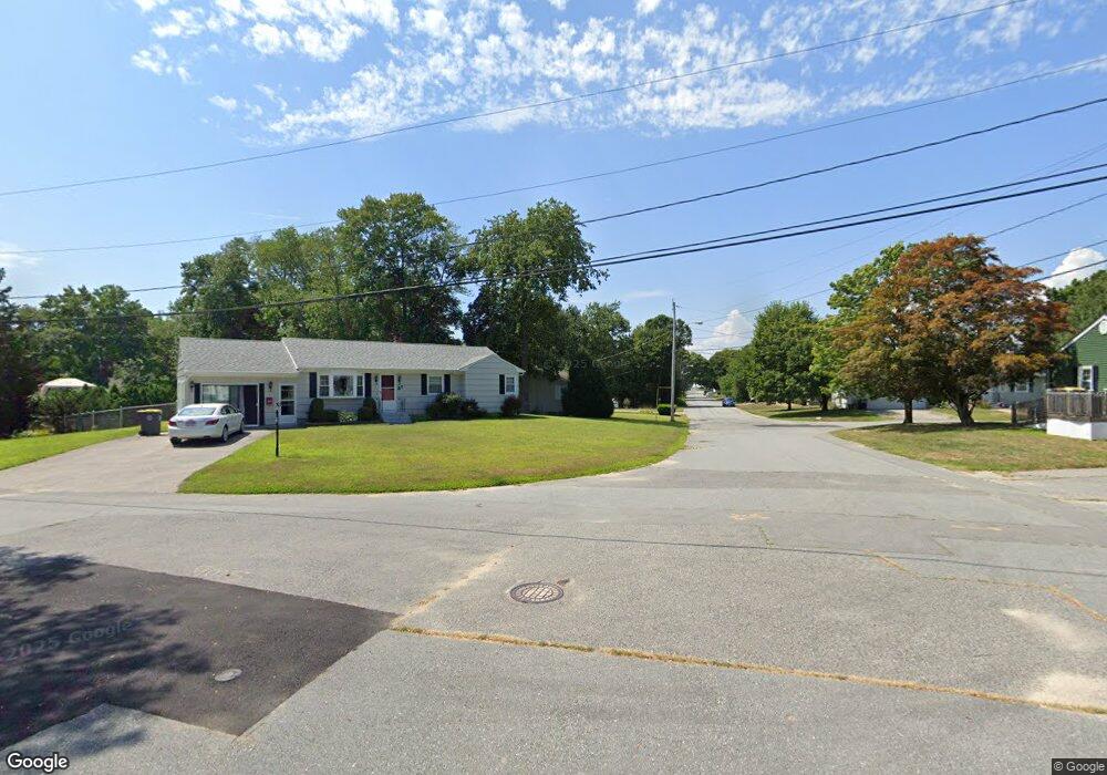
7 Midland Rd Somerset, MA 02726
Pottersville NeighborhoodEstimated Value: $465,369 - $544,000
3
Beds
2
Baths
1,080
Sq Ft
$464/Sq Ft
Est. Value
About This Home
This home is located at 7 Midland Rd, Somerset, MA 02726 and is currently estimated at $501,092, approximately $463 per square foot. 7 Midland Rd is a home located in Bristol County with nearby schools including Chace Street School, Somerset Middle School, and St. Michael's School.
Ownership History
Date
Name
Owned For
Owner Type
Purchase Details
Closed on
Jul 12, 2011
Sold by
Souza Robert A
Bought by
Brown Matthew
Current Estimated Value
Home Financials for this Owner
Home Financials are based on the most recent Mortgage that was taken out on this home.
Original Mortgage
$218,321
Outstanding Balance
$156,499
Interest Rate
5.5%
Mortgage Type
FHA
Estimated Equity
$344,593
Create a Home Valuation Report for This Property
The Home Valuation Report is an in-depth analysis detailing your home's value as well as a comparison with similar homes in the area
Home Values in the Area
Average Home Value in this Area
Purchase History
| Date | Buyer | Sale Price | Title Company |
|---|---|---|---|
| Brown Matthew | $224,000 | -- | |
| Brown Matthew | $224,000 | -- | |
| Brown Matthew | $224,000 | -- |
Source: Public Records
Mortgage History
| Date | Status | Borrower | Loan Amount |
|---|---|---|---|
| Open | Brown Matthew | $218,321 | |
| Closed | Brown Matthew | $218,321 |
Source: Public Records
Tax History
| Year | Tax Paid | Tax Assessment Tax Assessment Total Assessment is a certain percentage of the fair market value that is determined by local assessors to be the total taxable value of land and additions on the property. | Land | Improvement |
|---|---|---|---|---|
| 2025 | $5,260 | $395,500 | $180,800 | $214,700 |
| 2024 | $4,914 | $384,200 | $180,800 | $203,400 |
| 2023 | $4,323 | $340,900 | $157,100 | $183,800 |
| 2022 | $3,990 | $300,200 | $135,700 | $164,500 |
| 2021 | $4,021 | $273,900 | $122,700 | $151,200 |
| 2020 | $3,954 | $259,800 | $122,500 | $137,300 |
| 2019 | $4,490 | $246,000 | $122,500 | $123,500 |
| 2018 | $3,994 | $235,500 | $118,800 | $116,700 |
| 2017 | $3,898 | $224,000 | $113,300 | $110,700 |
| 2016 | $3,922 | $224,000 | $113,300 | $110,700 |
| 2015 | $3,663 | $211,100 | $108,200 | $102,900 |
| 2014 | $5,023 | $208,000 | $105,100 | $102,900 |
Source: Public Records
Map
Nearby Homes
- 111 Almy Rd
- 745 Bark St
- 43 New Jersey Ave
- 46 Lilac Ave
- 258 Folsom Ave
- 46 Dias Terrace
- 0 Bark St Unit 1342599
- 0 Bark St Unit 73152576
- 33 Whalon Ave
- 915 Almy Rd
- 485 Whetstone Hill Rd
- 2714 Riverside Ave
- 30 Gray St
- 5 Nottingham Cir
- 65 Marvel St
- 2396 Riverside Ave
- 107 Manchester Ave
- 113 Johnson St
- 0 Palmer St
- 3896 N Main St
Your Personal Tour Guide
Ask me questions while you tour the home.