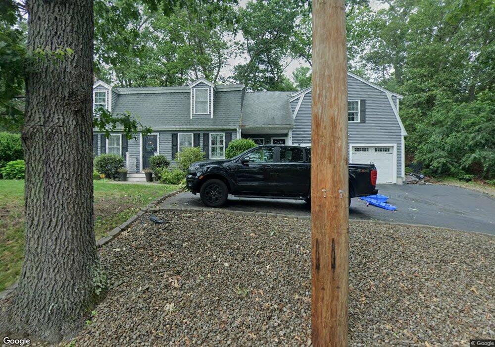
7 Mohawk Trail Littleton, MA 01460
Estimated Value: $920,346 - $964,000
4
Beds
3
Baths
2,498
Sq Ft
$379/Sq Ft
Est. Value
About This Home
This home is located at 7 Mohawk Trail, Littleton, MA 01460 and is currently estimated at $947,837, approximately $379 per square foot. 7 Mohawk Trail is a home located in Middlesex County with nearby schools including Shaker Lane Elementary School, Russell Street Elementary School, and Littleton Middle School.
Ownership History
Date
Name
Owned For
Owner Type
Purchase Details
Closed on
Jul 30, 2021
Sold by
Rainwater Will M and Murphy Erin K
Bought by
Wironen Gregory R and Wironen Taryn A
Current Estimated Value
Home Financials for this Owner
Home Financials are based on the most recent Mortgage that was taken out on this home.
Original Mortgage
$604,000
Outstanding Balance
$549,470
Interest Rate
2.93%
Mortgage Type
Purchase Money Mortgage
Estimated Equity
$398,367
Purchase Details
Closed on
Dec 17, 2012
Sold by
Jeanson Aaron
Bought by
Rainwater Will M and Murphy Erin K
Home Financials for this Owner
Home Financials are based on the most recent Mortgage that was taken out on this home.
Original Mortgage
$456,577
Interest Rate
3.25%
Mortgage Type
FHA
Purchase Details
Closed on
Apr 30, 2009
Sold by
Us Bk
Bought by
Jeanson Aaron
Purchase Details
Closed on
Apr 14, 2009
Sold by
Millar G Robert
Bought by
Us Bk
Create a Home Valuation Report for This Property
The Home Valuation Report is an in-depth analysis detailing your home's value as well as a comparison with similar homes in the area
Purchase History
| Date | Buyer | Sale Price | Title Company |
|---|---|---|---|
| Wironen Gregory R | $755,000 | None Available | |
| Rainwater Will M | $465,000 | -- | |
| Jeanson Aaron | $175,000 | -- | |
| Us Bk | $261,000 | -- |
Source: Public Records
Mortgage History
| Date | Status | Borrower | Loan Amount |
|---|---|---|---|
| Open | Wironen Gregory R | $604,000 | |
| Previous Owner | Rainwater Will M | $456,577 |
Source: Public Records
Tax History
| Year | Tax Paid | Tax Assessment Tax Assessment Total Assessment is a certain percentage of the fair market value that is determined by local assessors to be the total taxable value of land and additions on the property. | Land | Improvement |
|---|---|---|---|---|
| 2025 | $127 | $857,500 | $225,300 | $632,200 |
| 2024 | $12,636 | $851,500 | $217,700 | $633,800 |
| 2023 | $12,022 | $739,800 | $200,500 | $539,300 |
| 2022 | $10,587 | $597,800 | $200,500 | $397,300 |
| 2021 | $9,811 | $554,300 | $189,000 | $365,300 |
| 2020 | $9,217 | $518,700 | $163,300 | $355,400 |
| 2019 | $9,078 | $497,700 | $138,500 | $359,200 |
| 2018 | $8,754 | $482,600 | $142,000 | $340,600 |
| 2017 | $8,630 | $475,500 | $134,900 | $340,600 |
| 2016 | $8,298 | $469,100 | $134,900 | $334,200 |
| 2015 | $7,881 | $435,400 | $117,200 | $318,200 |
Source: Public Records
Map
Nearby Homes
- Lot 6 Noble Path
- Lot 7 Noble Path
- Lot 13 Monarch Path
- Lot 2 Monarch Path
- Lot 12 Monarch Path
- Lot 1 Monarch Path
- 15 Gilson Rd
- 23 Orion Way
- 9 Elm St
- Lot 1 & 3 Beaver Brook Rd
- 797 Boston Rd
- 82 Pleasant St
- 176 Whiley Rd
- 66 Patten Rd
- 1 Little Hollow Ln
- 9 (Lt 44) Darrell Dr
- 95 Hummingbird Ln Unit 22
- 15 Oriole Dr
- 14 Island Rd
- 34 West St
- 7 Mohawk Trail
- 12 Samoset Trail
- 10 Samoset Trail
- LOT 0 Richard Way
- LOT 6 Harwood Ave
- L-41 5th St
- LOT 1 3rd St
- LOT76 Seventh St
- 7 Nashoba Trail
- 12 Nashoba Trail
- 8 Nashoba Trail
- 6 Mohawk Trail
- 14 Nashoba Trail
- 34 Matawanakee Trail
- 16 Nashoba Trail
- 5 Nashoba Trail
- 32 Matawanakee Trail
- 15 Samoset Trail
- 6 Nashoba Trail
- 28 Matawanakee Trail
Your Personal Tour Guide
Ask me questions while you tour the home.