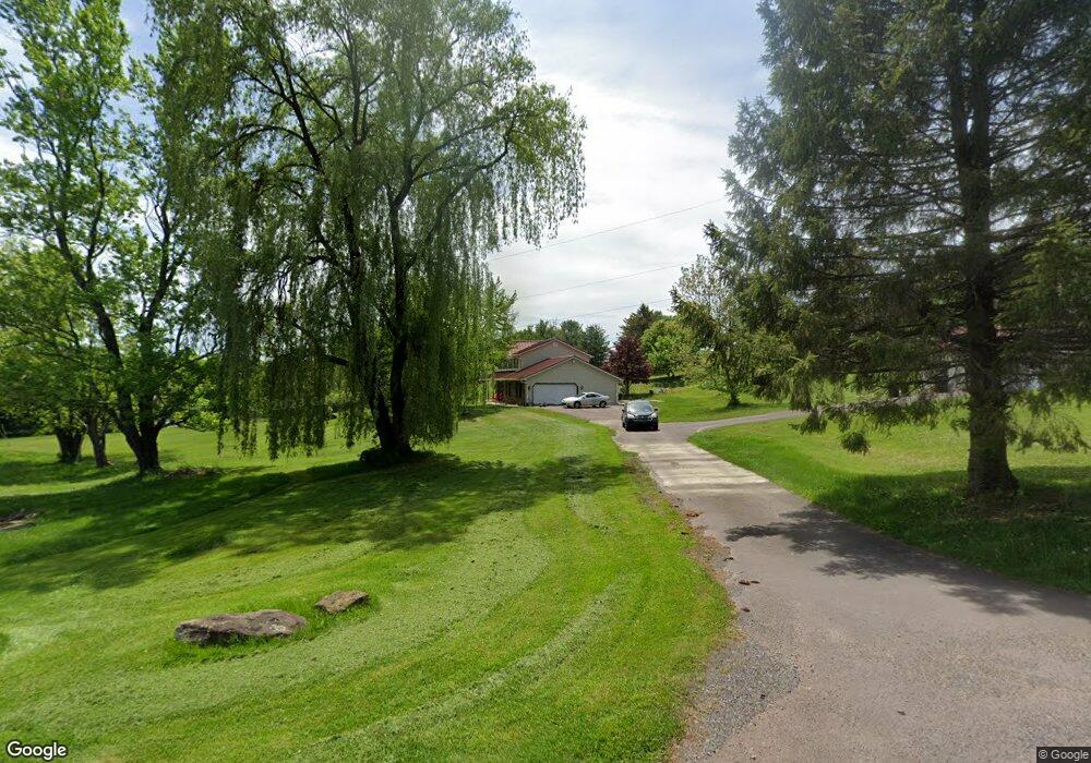
7 Morrison Rd Bloomsburg, PA 17815
Estimated Value: $348,000 - $389,571
--
Bed
--
Bath
1,966
Sq Ft
$189/Sq Ft
Est. Value
About This Home
This home is located at 7 Morrison Rd, Bloomsburg, PA 17815 and is currently estimated at $370,893, approximately $188 per square foot. 7 Morrison Rd is a home located in Columbia County with nearby schools including Central Columbia Elementary School, Central Columbia Middle School, and Central Columbia Senior High School.
Ownership History
Date
Name
Owned For
Owner Type
Purchase Details
Closed on
Aug 30, 2016
Sold by
Coleman Roy A and Coleman Sharon Sue
Bought by
Chronowski Joseph Jerome
Current Estimated Value
Home Financials for this Owner
Home Financials are based on the most recent Mortgage that was taken out on this home.
Original Mortgage
$183,200
Outstanding Balance
$146,427
Interest Rate
3.45%
Mortgage Type
New Conventional
Estimated Equity
$224,466
Purchase Details
Closed on
May 12, 1994
Bought by
Coleman Roy A and Sharon Sue
Create a Home Valuation Report for This Property
The Home Valuation Report is an in-depth analysis detailing your home's value as well as a comparison with similar homes in the area
Home Values in the Area
Average Home Value in this Area
Purchase History
| Date | Buyer | Sale Price | Title Company |
|---|---|---|---|
| Chronowski Joseph Jerome | $229,000 | None Available | |
| Coleman Roy A | $25,800 | -- |
Source: Public Records
Mortgage History
| Date | Status | Borrower | Loan Amount |
|---|---|---|---|
| Open | Chronowski Joseph Jerome | $183,200 |
Source: Public Records
Tax History Compared to Growth
Tax History
| Year | Tax Paid | Tax Assessment Tax Assessment Total Assessment is a certain percentage of the fair market value that is determined by local assessors to be the total taxable value of land and additions on the property. | Land | Improvement |
|---|---|---|---|---|
| 2025 | $3,551 | $54,826 | $0 | $0 |
| 2024 | $3,457 | $54,826 | $9,264 | $45,562 |
| 2023 | $3,293 | $54,826 | $9,264 | $45,562 |
| 2022 | $3,293 | $54,826 | $9,264 | $45,562 |
| 2021 | $3,293 | $54,826 | $9,264 | $45,562 |
| 2020 | $3,174 | $54,826 | $9,264 | $45,562 |
| 2019 | $3,105 | $54,826 | $9,264 | $45,562 |
| 2018 | $3,105 | $54,826 | $9,264 | $45,562 |
| 2017 | $3,064 | $54,826 | $9,264 | $45,562 |
| 2016 | -- | $54,826 | $9,264 | $45,562 |
| 2015 | -- | $54,826 | $9,264 | $45,562 |
| 2014 | -- | $54,826 | $9,264 | $45,562 |
Source: Public Records
Map
Nearby Homes
- 177 Turner High View Rd
- 620 Rolling Hill W
- 53 Fox Hollow Rd
- 298 Peacock Corners Rd
- 0 Melick Hollow Rd
- 165 Schoolhouse Rd
- 632 Sunset Dr
- 25 Lunger Dr
- 0 Alliance Park Lot 6 Dr
- 925 Mcguire Rd
- LOT 1 Mitchell Dr
- 0 Alliance Park Dr
- 712 Country Club Dr
- 61 Buckhorn Rd
- 139 Rotary St
- 384 Country Ln W
- 56 Buckhorn Rd
- 601 Honeysuckle Ln
- 4 York Rd
- 135 Ash St
- 13 Morrison Rd Unit D
- 13 Morrison Rd Unit A
- 13 Morrison Rd Unit B
- 13 Morrison Rd Unit C
- 230 Millertown Rd
- 10 Morrison Rd
- 197 Turners High View Rd
- 252A Millertown Rd
- 252 Millertown Rd
- 217 Millertown Rd
- 224 Millertown Rd
- 190 Turners Highview Rd
- 279 Millertown Rd
- 236 Millertown Rd
- 184 Turners Highview Rd
- 44 Stewart Ln
- 177 Turners Highview Rd
- 49 Morrison Rd
- 178 Turners Highview Rd
- 17 Stewart Ln