7 Morrison Rd Unit 65B Round Pond, ME 04564
Estimated Value: $628,305 - $867,000
3
Beds
3
Baths
--
Sq Ft
2
Acres
About This Home
This home is located at 7 Morrison Rd Unit 65B, Round Pond, ME 04564 and is currently estimated at $786,326. 7 Morrison Rd Unit 65B is a home located in Lincoln County with nearby schools including Bristol Consolidated School.
Ownership History
Date
Name
Owned For
Owner Type
Purchase Details
Closed on
Feb 1, 2012
Sold by
Bartlett Leslie H and Hannah Peter R
Bought by
Adams Kevin R and Adams Carol J
Current Estimated Value
Home Financials for this Owner
Home Financials are based on the most recent Mortgage that was taken out on this home.
Original Mortgage
$195,000
Outstanding Balance
$132,815
Interest Rate
3.92%
Mortgage Type
New Conventional
Estimated Equity
$653,511
Purchase Details
Closed on
Dec 1, 2009
Sold by
Leslie H Bartlett Ret and Bartlett
Bought by
Bartlett Leslie H and Hannah Peter R
Home Financials for this Owner
Home Financials are based on the most recent Mortgage that was taken out on this home.
Original Mortgage
$215,000
Interest Rate
7%
Mortgage Type
Adjustable Rate Mortgage/ARM
Create a Home Valuation Report for This Property
The Home Valuation Report is an in-depth analysis detailing your home's value as well as a comparison with similar homes in the area
Home Values in the Area
Average Home Value in this Area
Purchase History
| Date | Buyer | Sale Price | Title Company |
|---|---|---|---|
| Adams Kevin R | -- | -- | |
| Bartlett Leslie H | -- | -- | |
| Bartlett Leslie H | -- | -- | |
| Adams Kevin R | -- | -- | |
| Bartlett Leslie H | -- | -- |
Source: Public Records
Mortgage History
| Date | Status | Borrower | Loan Amount |
|---|---|---|---|
| Open | Adams Kevin R | $195,000 | |
| Closed | Bartlett Leslie H | $195,000 | |
| Previous Owner | Bartlett Leslie H | $215,000 |
Source: Public Records
Tax History Compared to Growth
Tax History
| Year | Tax Paid | Tax Assessment Tax Assessment Total Assessment is a certain percentage of the fair market value that is determined by local assessors to be the total taxable value of land and additions on the property. | Land | Improvement |
|---|---|---|---|---|
| 2024 | $3,446 | $387,200 | $50,300 | $336,900 |
| 2023 | $3,078 | $387,200 | $50,300 | $336,900 |
| 2022 | $2,788 | $387,200 | $50,300 | $336,900 |
| 2021 | $2,788 | $387,200 | $50,300 | $336,900 |
| 2020 | $2,807 | $387,200 | $50,300 | $336,900 |
| 2019 | $2,614 | $387,200 | $50,300 | $336,900 |
| 2018 | $2,420 | $387,200 | $50,300 | $336,900 |
| 2017 | $2,420 | $387,200 | $50,300 | $336,900 |
| 2016 | $2,265 | $286,700 | $63,300 | $223,400 |
| 2015 | $2,423 | $286,700 | $63,300 | $223,400 |
| 2014 | $2,265 | $286,700 | $63,300 | $223,400 |
| 2013 | $2,208 | $286,700 | $63,300 | $223,400 |
Source: Public Records
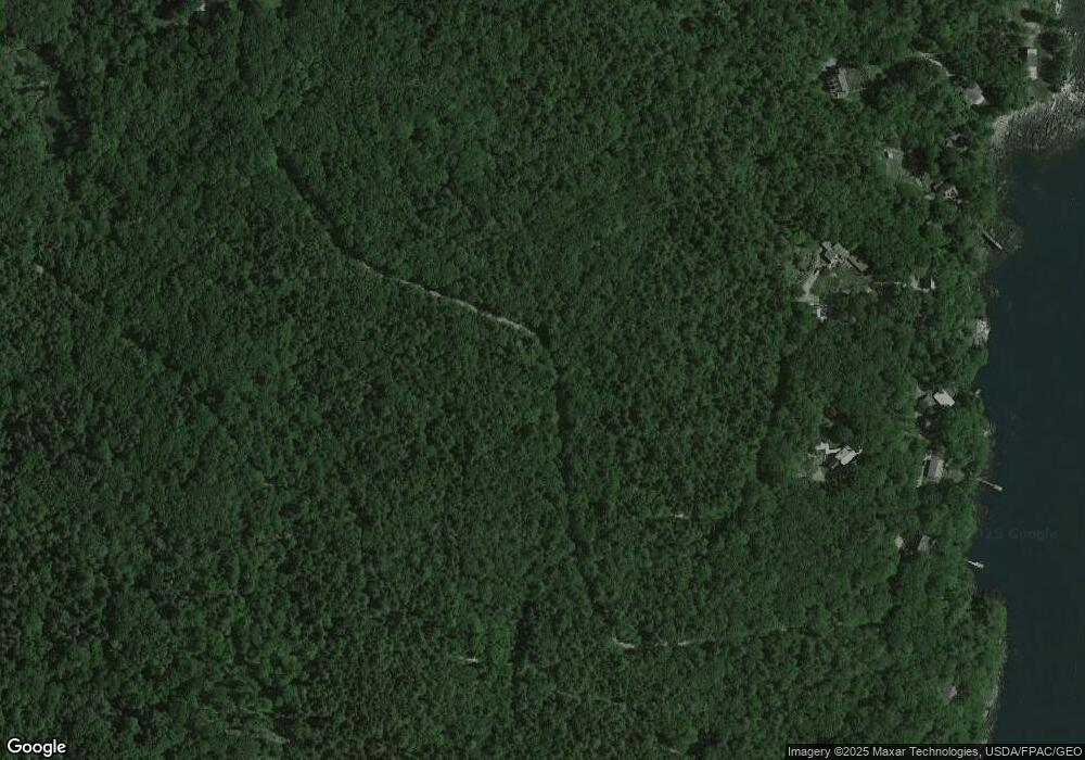
Map
Nearby Homes
- 1276 State Route 32
- 31 Viking Way
- Lot 009 Reny Rd
- 153 Back Shore Rd
- 359 Lower Round Pond Rd
- Lot 10.6 Louds Island
- 12 Nonesuch Ln
- 146 Lower Round Pond Rd
- M6l54
- 17 Eastwood Ct
- M6L54 Bristol Rd
- M6L53 Bristol Rd
- Lot 149 Bristol Rd
- 033-1 Bristol Rd
- 9 Bearces Hill Rd
- 1212 Bristol Rd
- 0 Sodom Rd
- 00 Fir Hollow Rd
- Lot 46 Carl Bailey Rd
- 25 & 26 Maine 32
- 7 Morrison Rd
- 5 Morrison Rd
- 29 Morrison Rd
- 62 Moxie Cove Rd
- 18 Moxie Cove Rd
- 47 Moxie Cove Rd
- 24 Oak Hill Rd
- 23 Moxie Cove Rd
- 79 Moxie Cove Rd
- 57 Morrison Rd
- 11 Moxie Cove Rd
- 66 Moxie Cove Rd
- 15 Harbor Ln
- 1287 State Route 32
- 1281 State Route 32
- 31 Morrison Rd
- 62 Morrison Rd
- 1273 State Route 32
- 22 Southern Point Rd
- 23 Harbor Ln