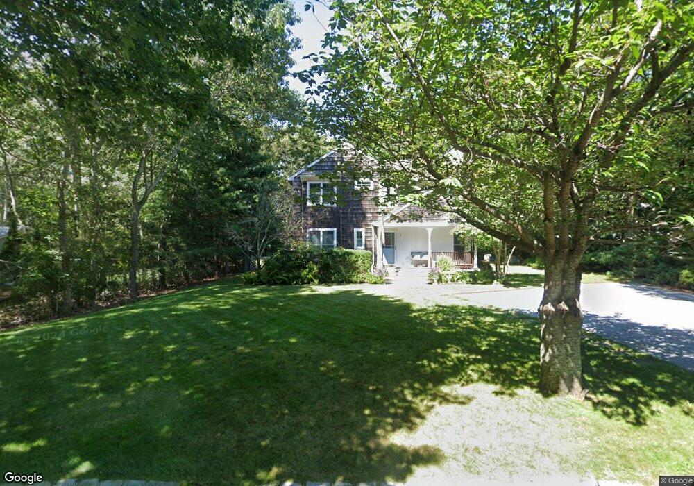
7 Mount Misery Dr Sag Harbor, NY 11963
Estimated Value: $1,467,003 - $1,947,000
4
Beds
2
Baths
1,792
Sq Ft
$949/Sq Ft
Est. Value
About This Home
This home is located at 7 Mount Misery Dr, Sag Harbor, NY 11963 and is currently estimated at $1,701,001, approximately $949 per square foot. 7 Mount Misery Dr is a home located in Suffolk County with nearby schools including Sag Harbor Elementary School, Pierson Middle/High School, and Ross School.
Ownership History
Date
Name
Owned For
Owner Type
Purchase Details
Closed on
Apr 12, 2002
Sold by
Frankel Glenn and Frankel Ross
Bought by
Lattanzio Vincent and Lattanzio Libby
Current Estimated Value
Home Financials for this Owner
Home Financials are based on the most recent Mortgage that was taken out on this home.
Original Mortgage
$300,700
Outstanding Balance
$125,010
Interest Rate
6.85%
Estimated Equity
$1,575,991
Purchase Details
Closed on
Sep 16, 1996
Sold by
Burns Robert C and Burns Christina S
Bought by
Frankel Glenn and Frankel Ross
Create a Home Valuation Report for This Property
The Home Valuation Report is an in-depth analysis detailing your home's value as well as a comparison with similar homes in the area
Home Values in the Area
Average Home Value in this Area
Purchase History
| Date | Buyer | Sale Price | Title Company |
|---|---|---|---|
| Lattanzio Vincent | $340,200 | -- | |
| Frankel Glenn | $177,500 | Fidelity National Title Ins |
Source: Public Records
Mortgage History
| Date | Status | Borrower | Loan Amount |
|---|---|---|---|
| Open | Lattanzio Vincent | $300,700 |
Source: Public Records
Tax History Compared to Growth
Tax History
| Year | Tax Paid | Tax Assessment Tax Assessment Total Assessment is a certain percentage of the fair market value that is determined by local assessors to be the total taxable value of land and additions on the property. | Land | Improvement |
|---|---|---|---|---|
| 2024 | -- | $696,500 | $424,200 | $272,300 |
| 2023 | -- | $696,500 | $424,200 | $272,300 |
| 2022 | $4,173 | $696,500 | $424,200 | $272,300 |
| 2021 | $4,173 | $696,500 | $424,200 | $272,300 |
| 2020 | $4,381 | $696,500 | $424,200 | $272,300 |
| 2019 | $4,381 | $0 | $0 | $0 |
| 2018 | -- | $677,900 | $424,200 | $253,700 |
| 2017 | $4,568 | $677,900 | $424,200 | $253,700 |
| 2016 | $4,219 | $610,100 | $381,800 | $228,300 |
| 2015 | -- | $591,000 | $362,700 | $228,300 |
| 2014 | -- | $591,000 | $362,700 | $228,300 |
Source: Public Records
Map
Nearby Homes
- 7 Rosemary Ln
- 1635 Sagg Rd
- 7 Carlisle Ln
- 10 Round Pond Ln
- 1206 Middle Line Hwy
- 25 Round Pond Ln
- 36 Denison Rd
- 11 Carver St
- 33 Whalers Dr
- 11 Grand St
- 73 Laurel Ln
- 41 Montauk Ave
- 5 Washington Ave
- 12 Marsden St
- 233 Madison St
- 246 Hampton St
- 3 Deerfield Dr
- 1488 Sag Harbor Turnpike
- 1638 Bridgehampton-Sag Harbor Turnpike
- 207 Madison St
- 11 Mount Misery Dr
- 69 Collingswood Dr
- 12 Mount Misery Dr
- 15 Mount Misery Dr
- 81 Collingswood Dr
- 8 Cambridge Ct
- 6 Cambridge Ct
- 75 Collingswood Dr
- 12 Cambridge Ct
- 70 Collingswood Dr
- 16 Mount Misery Dr
- 85 Collingswood Dr
- 21 Mount Misery Dr
- 66 Collingswood Dr
- 78 Collingswood Dr
- 62 Collingswood Dr
- 91 Collingswood Dr
- 82 Collingswood Dr
- 22 Mount Misery Dr
- 7 Cambridge Ct